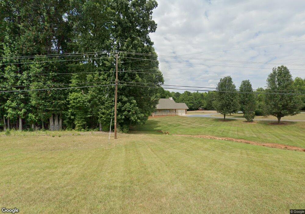
1028 Commonwealth Rd Randleman, NC 27317
Estimated Value: $506,000 - $588,000
About This Home
This home is located at 1028 Commonwealth Rd, Randleman, NC 27317 and is currently estimated at $529,969, approximately $190 per square foot. 1028 Commonwealth Rd is a home located in Randolph County with nearby schools including New Market Elementary School, Randleman Middle School, and Randleman High School.
Ownership History
We collect this data history from publicly available records. To have your information removed, we recommend requesting removal directly through your county’s website.
Purchase Details
Home Financials for this Owner
Home Financials are based on the most recent Mortgage that was taken out on this home.Home Values in the Area
Average Home Value in this Area
Purchase History
We collect this data history from publicly available records. To have your information removed, we recommend requesting removal directly through your county’s website.
| Date | Buyer | Sale Price | Title Company |
|---|---|---|---|
| $275,000 | None Available |
Mortgage History
We collect this data history from publicly available records. To have your information removed, we recommend requesting removal directly through your county’s website.
| Date | Status | Borrower | Loan Amount |
|---|---|---|---|
| Open | $125,000 |
Tax History
We collect this data history from publicly available records. To have your information removed, we recommend requesting removal directly through your county’s website.
| Year | Tax Paid | Tax Assessment Tax Assessment Total Assessment is a certain percentage of the fair market value that is determined by local assessors to be the total taxable value of land and additions on the property. | Land | Improvement |
|---|---|---|---|---|
| 2025 | $869 | $408,420 | $130,410 | $278,010 |
| 2024 | $869 | $408,420 | $130,410 | $278,010 |
| 2023 | $869 | $408,420 | $130,410 | $278,010 |
| 2022 | $733 | $298,040 | $92,030 | $206,010 |
| 2021 | $733 | $298,040 | $92,030 | $206,010 |
| 2020 | $733 | $298,040 | $92,030 | $206,010 |
| 2019 | $733 | $298,040 | $92,030 | $206,010 |
| 2018 | $3,696 | $288,210 | $81,940 | $206,270 |
| 2016 | $3,696 | $288,214 | $81,940 | $206,274 |
| 2015 | $3,704 | $288,214 | $81,940 | $206,274 |
| 2014 | -- | $288,214 | $81,940 | $206,274 |
Map
- 9135 Route 220 Hwy
- 00 Tigers Den Rd
- 00 Little Fox Rd
- 5191 Island Ford Rd
- 4239 Brown Loop
- 4858 Us Highway 311
- 4206 Bentley Dr
- 410 High Point St
- 684 S Stout Rd
- 407 Park St
- 00 Us Highway 311
- 0 Us Highway 311 Unit 1164260
- 0 Walter Meadows Rd
- 117 Sunset Dr
- 113 Sunset Dr
- 605 Walter Meadows Rd
- 100 Daniels St
- 120 Shaw St
- 207 E Academy St
- 105 Creekside Dr
- 1017 Commonwealth Rd
- 711 Hunters Ridge Rd
- 4755 Island Ford Rd
- 951 Commonwealth Rd
- 4701 Island Ford Rd
- 4677 Island Ford Rd
- 4658 Island Ford Rd
- 0 Old High Point
- tr 4 and 5 Old High Point
- 4711 Island Ford Rd
- 1307 Commonwealth Rd
- 5034 Island Ford Rd
- 1333 Commonwealth Rd
- 4619 Island Ford Rd
- 5053 Island Ford Rd
- 4615 Island Ford Rd
- 4540 Island Ford Rd
- 4549 Old High Point St
- 1292 Harrison Trail
- 1294 Harrison Trail
Ask me questions while you tour the home.