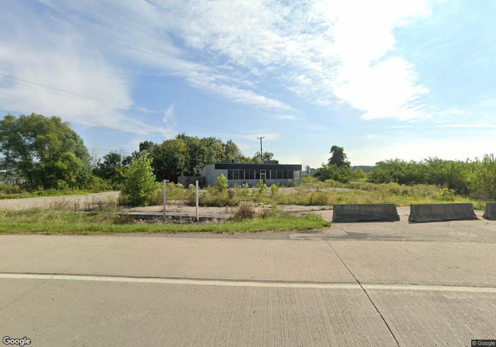
10285 Lancaster Rd Hebron, OH 43025
Union NeighborhoodEstimated Value: $266,174
About This Home
This home is located at 10285 Lancaster Rd, Hebron, OH 43025 and is currently estimated at $266,174, approximately $167 per square foot. 10285 Lancaster Rd is a home located in Licking County with nearby schools including Jackson Intermediate School, Lakewood Middle School, and Lakewood High School.
Ownership History
We collect this data history from publicly available records. To have your information removed, we recommend requesting removal directly through your county’s website.
Purchase Details
Purchase Details
Purchase Details
Purchase Details
Purchase Details
Home Financials for this Owner
Home Financials are based on the most recent Mortgage that was taken out on this home.Home Values in the Area
Average Home Value in this Area
Purchase History
We collect this data history from publicly available records. To have your information removed, we recommend requesting removal directly through your county’s website.
| Date | Buyer | Sale Price | Title Company |
|---|---|---|---|
| $160,000 | None Available | ||
| -- | None Available | ||
| $750,000 | Valmer Title | ||
| $130,000 | Attorney | ||
| $161,000 | Attorney |
Mortgage History
We collect this data history from publicly available records. To have your information removed, we recommend requesting removal directly through your county’s website.
| Date | Status | Borrower | Loan Amount |
|---|---|---|---|
| Closed | $625,000 | ||
| Closed | $2,800,000 |
Tax History
We collect this data history from publicly available records. To have your information removed, we recommend requesting removal directly through your county’s website.
| Year | Tax Paid | Tax Assessment Tax Assessment Total Assessment is a certain percentage of the fair market value that is determined by local assessors to be the total taxable value of land and additions on the property. | Land | Improvement |
|---|---|---|---|---|
| 2025 | $2,772 | $61,180 | $56,000 | $5,180 |
| 2024 | $2,704 | $61,180 | $56,000 | $5,180 |
| 2023 | $4,177 | $61,180 | $56,000 | $5,180 |
| 2022 | $2,750 | $56,000 | $56,000 | $0 |
| 2021 | $2,866 | $56,000 | $56,000 | $0 |
| 2020 | $3,124 | $56,000 | $56,000 | $0 |
| 2019 | $5,808 | $105,000 | $78,400 | $26,600 |
| 2018 | $5,864 | $0 | $0 | $0 |
| 2017 | $5,882 | $0 | $0 | $0 |
| 2016 | $5,897 | $0 | $0 | $0 |
| 2015 | $5,904 | $0 | $0 | $0 |
| 2014 | $7,743 | $0 | $0 | $0 |
| 2013 | $5,944 | $0 | $0 | $0 |
Map
- 780 National Rd SE
- 90 Louella Dr
- 4420 Hickory Ln
- 1034 Dawsons Dr
- 1032 Dawsons Dr
- 1030 Dawsons Dr
- 1028 Dawsons Dr
- 1006 Dawsons Dr
- 1024 Dawsons Dr
- 1020 Dawsons Dr
- 1020 Dawsons Dr Unit 49
- 1008 Dawsons Dr
- 1016 Dawsons Dr
- 1016 Dawsons Dr Unit 50
- 1012 Dawsons Dr
- 1033 Dawsons Dr
- 1031 Dawsons Dr
- 1029 Dawsons Dr
- 1007 Dawsons Dr
- 1009 Dawsons Dr
- 10246 Lancaster Rd
- 10244 Lancaster Rd
- 10319 Lancaster Rd
- 10616 Lancaster Rd
- 10785 Lancaster Rd
- 460 National Rd SE
- 10938 Lancaster Rd
- 9494 Lancaster Rd
- 9470 Lancaster Rd
- 2482 Palmer Rd
- 10787 Lancaster Rd
- 250 National Rd SE
- 352 National Rd SE
- 224 National Rd SE
- 296 National Rd SE
- 11171 Lancaster Rd
- 360 National Rd SE
- 225 National Rd SE
- 1755 National Rd SW
- 412 National Rd SE
Ask me questions while you tour the home.