103 Alder Dr Lowman, ID 83637
Estimated Value: $380,000 - $552,000
3
Beds
1
Bath
939
Sq Ft
$480/Sq Ft
Est. Value
About This Home
This home is located at 103 Alder Dr, Lowman, ID 83637 and is currently estimated at $450,599, approximately $479 per square foot. 103 Alder Dr is a home with nearby schools including Lowman Elementary School.
Create a Home Valuation Report for This Property
The Home Valuation Report is an in-depth analysis detailing your home's value as well as a comparison with similar homes in the area
Tax History
| Year | Tax Paid | Tax Assessment Tax Assessment Total Assessment is a certain percentage of the fair market value that is determined by local assessors to be the total taxable value of land and additions on the property. | Land | Improvement |
|---|---|---|---|---|
| 2025 | $990 | $360,844 | $108,751 | $252,093 |
| 2024 | $990 | $351,060 | $102,410 | $248,650 |
| 2023 | $879 | $224,801 | $98,410 | $126,391 |
| 2022 | $1,087 | $248,422 | $83,790 | $164,632 |
| 2021 | $810 | $105,132 | $68,860 | $36,272 |
| 2020 | $1,270 | $183,035 | $58,260 | $124,775 |
| 2019 | $1,453 | $168,237 | $51,260 | $116,977 |
| 2018 | $1,454 | $159,050 | $51,260 | $107,790 |
| 2017 | $1,508 | $138,904 | $44,260 | $94,644 |
| 2016 | $1,442 | $129,777 | $44,260 | $85,517 |
| 2015 | $1,492 | $124,598 | $38,120 | $86,478 |
| 2014 | $1,295 | $112,587 | $38,120 | $74,467 |
| 2013 | -- | $113,414 | $38,120 | $75,294 |
| 2012 | -- | $119,441 | $38,120 | $81,321 |
Source: Public Records
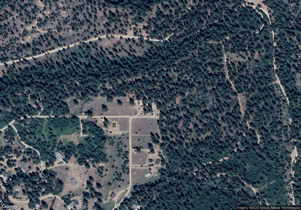
Map
Nearby Homes
- 117 Alder Dr
- 8 Birch Blossom Trail
- 17 Bransons Dr
- 10 Bransons Dr
- 22 Lantz Way
- 8395 Idaho 21
- 4 Jolene Dr
- 12 Plateau Rd
- TBD Hwy 21 Lots 8 9
- 15 Sellman Dr
- 750 Summit Plat Rd
- 0 Highway 21 & Cow Camp Rd #C Unit 25-333593
- TBD Basari Estates Lot 1
- 0 Highway 21 & Cow Camp Rd NW Unit 24-332072
- 65 Goat Creek Way
- TBD Wapiti Ct
- 11 Golden Age Mine Rd
- TBD Hwy 21
- 0 Edna McGown (Hwy 75) Ave Unit 23-330377
- TBD Point Ln
Your Personal Tour Guide
Ask me questions while you tour the home.