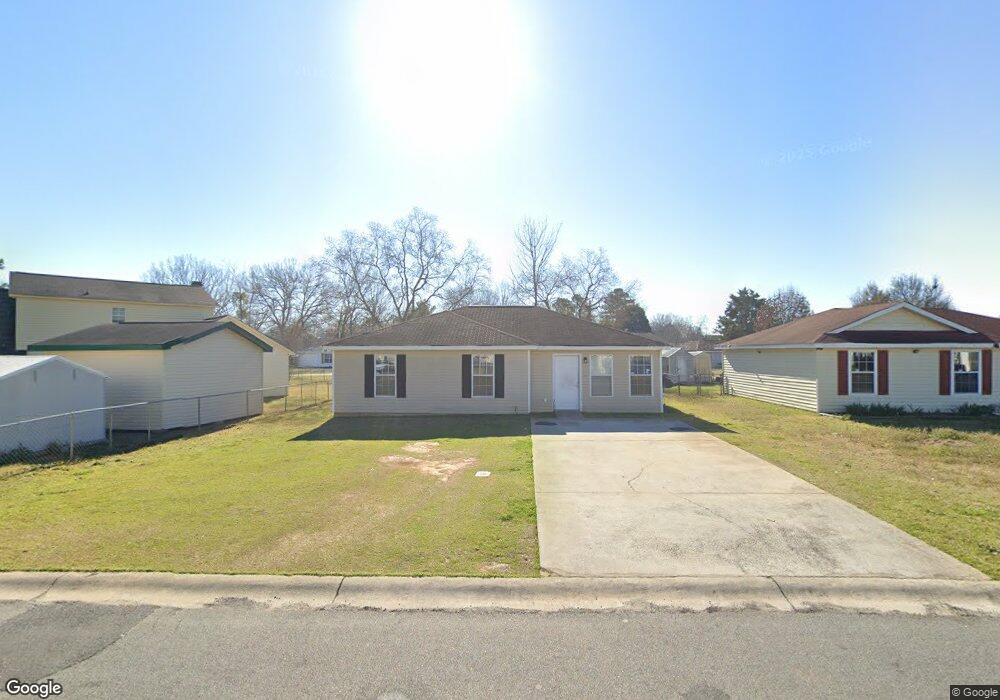
103 Mauldon Ct Warner Robins, GA 31093
Estimated Value: $137,000 - $159,000
About This Home
This home is located at 103 Mauldon Ct, Warner Robins, GA 31093 and is currently estimated at $146,287, approximately $123 per square foot. 103 Mauldon Ct is a home located in Houston County with nearby schools including Parkwood Elementary School, Northside Middle School, and Northside High School.
Ownership History
We collect this data history from publicly available records. To have your information removed, we recommend requesting removal directly through your county’s website.
Purchase Details
Home Financials for this Owner
Home Financials are based on the most recent Mortgage that was taken out on this home.Purchase Details
Home Values in the Area
Average Home Value in this Area
Purchase History
We collect this data history from publicly available records. To have your information removed, we recommend requesting removal directly through your county’s website.
| Date | Buyer | Sale Price | Title Company |
|---|---|---|---|
| $130,000 | Martin Snow Llp | ||
| $5,000 | -- |
Mortgage History
We collect this data history from publicly available records. To have your information removed, we recommend requesting removal directly through your county’s website.
| Date | Status | Borrower | Loan Amount |
|---|---|---|---|
| Closed | $114,006 |
Tax History
We collect this data history from publicly available records. To have your information removed, we recommend requesting removal directly through your county’s website.
| Year | Tax Paid | Tax Assessment Tax Assessment Total Assessment is a certain percentage of the fair market value that is determined by local assessors to be the total taxable value of land and additions on the property. | Land | Improvement |
|---|---|---|---|---|
| 2025 | $1,462 | $50,200 | $6,000 | $44,200 |
| 2024 | $1,486 | $45,400 | $6,000 | $39,400 |
| 2023 | $840 | $33,960 | $6,000 | $27,960 |
| 2022 | $565 | $24,560 | $4,200 | $20,360 |
| 2021 | $517 | $22,360 | $4,200 | $18,160 |
| 2020 | $512 | $22,040 | $4,200 | $17,840 |
| 2019 | $512 | $22,040 | $4,200 | $17,840 |
| 2018 | $512 | $22,040 | $4,200 | $17,840 |
| 2017 | $513 | $22,040 | $4,200 | $17,840 |
| 2016 | $513 | $22,040 | $4,200 | $17,840 |
| 2015 | -- | $22,040 | $4,200 | $17,840 |
| 2014 | -- | $22,040 | $4,200 | $17,840 |
| 2013 | -- | $22,040 | $4,200 | $17,840 |
Map
- 100 Mauldon Ct
- 405 Dunmurry Place
- 212 Dunmurry Place
- 108 Smith Place
- 137 Northsky Dr
- 125 Northsky Dr
- 427 Alabama Ave
- 124 N Sky Dr
- 423 Camellia Cir
- 500 Northside Dr
- 102 Oklahoma Ave
- 423 King Dr
- 104 Delaware Ave
- 132 Evergreen St
- 114 Williams Terrace
- 1032 Elberta Rd
- 113 Northwind Ct
- 110 Eastlake Dr
- 96 Santangelo Ct
- 121 Eastlake Dr
- 238 Dunmurry Place
- 236 Dunmurry Place
- 300 Dunmurry Place
- 234 Dunmurry Place
- 401 Wisconsin Ave
- 403 Wisconsin Ave
- 232 Dunmurry Place
- 231 Dunmurry Place
- 304 Dunmurry Place
- 335 Wisconsin Ave
- 229 Dunmurry Place
- 230 Dunmurry Place
- 405 Wisconsin Ave
- 306 Dunmurry Place
- 333 Wisconsin Ave
- 303 Dunmurry Place
- 102 Mauldon Ct
- 400 Wisconsin Ave
- 105 Mauldon Ct
- 228 Dunmurry Place
Ask me questions while you tour the home.