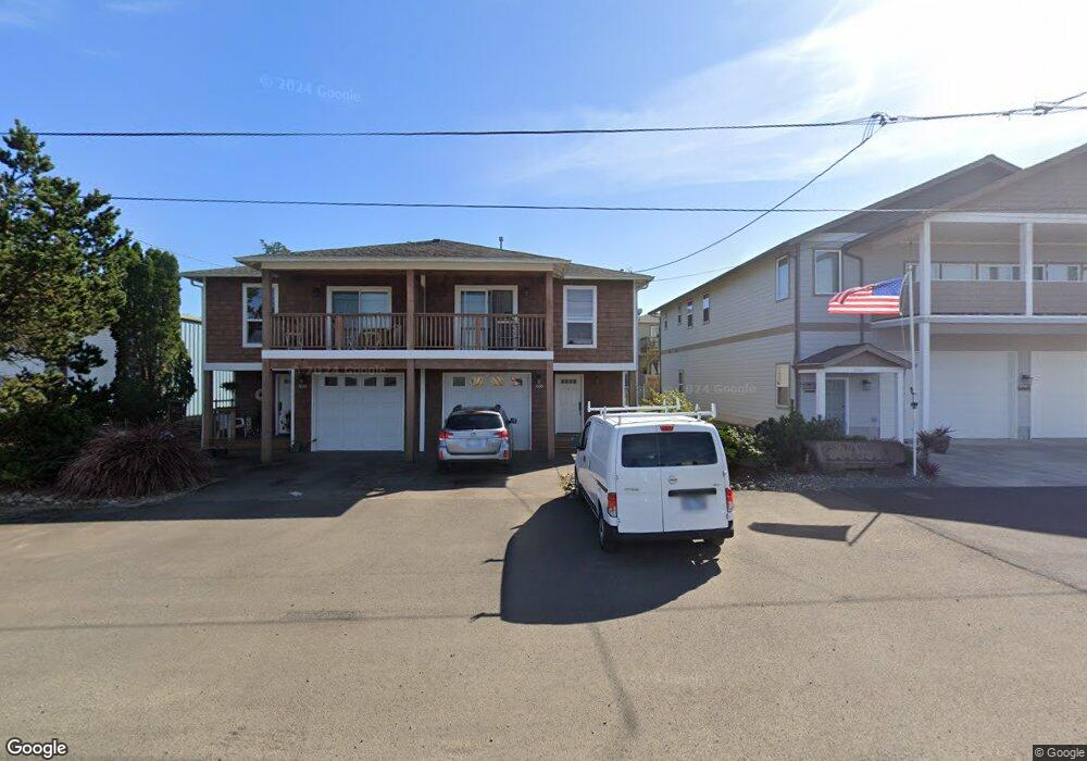
1030 4th Ave Hammond, OR 97121
Estimated Value: $401,000 - $611,000
About This Home
This home is located at 1030 4th Ave, Hammond, OR 97121 and is currently estimated at $494,388, approximately $289 per square foot. 1030 4th Ave is a home located in Clatsop County with nearby schools including Warrenton Grade School and Warrenton High School.
Ownership History
We collect this data history from publicly available records. To have your information removed, we recommend requesting removal directly through your county’s website.
Purchase Details
Home Financials for this Owner
Home Financials are based on the most recent Mortgage that was taken out on this home.Purchase History
We collect this data history from publicly available records. To have your information removed, we recommend requesting removal directly through your county’s website.
| Date | Buyer | Sale Price | Title Company |
|---|---|---|---|
| $245,000 | Pacific Title Company |
Mortgage History
We collect this data history from publicly available records. To have your information removed, we recommend requesting removal directly through your county’s website.
| Date | Status | Borrower | Loan Amount |
|---|---|---|---|
| Open | $196,000 |
Tax History
We collect this data history from publicly available records. To have your information removed, we recommend requesting removal directly through your county’s website.
| Year | Tax Paid | Tax Assessment Tax Assessment Total Assessment is a certain percentage of the fair market value that is determined by local assessors to be the total taxable value of land and additions on the property. | Land | Improvement |
|---|---|---|---|---|
| 2025 | $2,140 | $160,830 | -- | -- |
| 2024 | $2,077 | $156,147 | -- | -- |
| 2023 | $2,009 | $151,600 | $0 | $0 |
| 2022 | $1,975 | $147,186 | $0 | $0 |
| 2021 | $1,946 | $142,900 | $0 | $0 |
| 2020 | $1,900 | $138,739 | $0 | $0 |
| 2019 | $1,852 | $134,699 | $0 | $0 |
| 2018 | $1,550 | $130,777 | $0 | $0 |
| 2017 | $1,460 | $126,969 | $0 | $0 |
| 2016 | $1,461 | $123,272 | $34,554 | $88,718 |
| 2015 | $1,430 | $119,682 | $33,548 | $86,134 |
| 2014 | $1,382 | $116,197 | $0 | $0 |
| 2013 | -- | $112,814 | $0 | $0 |
Map
- 803 5th Ave Unit 18
- 803 5th Ave
- 1009 King Salmon Place
- 575 Gray St
- 1050 Peacock St
- 1176 Nautical Dr
- 1105 Peacock St
- 590 7th Ave
- 1880 1st Ave
- 1775 Pacific Ridge Ln
- 1100 NW Warrenton Dr Unit 331
- 1100 NW Warrenton Dr
- 1100 NW Warrenton Dr Unit 349
- 1100 NW Warrenton Dr Unit 359
- 676 NW 9th St
- 701 NW Warrenton Dr Unit 28
- 701 NW Warrenton Dr #28
- 101 SW Juniper Ave
- 0 NW Date Ave
- 47 SW Gardenia Ave
- 1035 5th Ave
- 1045 5th Ave
- 1025 5th Ave
- TL4300 4th Ave
- 1060 4th Ave
- 1055 5th Ave
- 1020 4th Ave
- 1020 4th Ave Unit 1040
- 1055 5th St
- 463 Jetty St
- 1065 5th Ave
- 1065 5th Ave
- TL5100 5th Ave
- 0 5th Ave Unit 5100 14429371
- 0 5th Ave Unit 2200 15470407
- 0 5th Ave Unit 2100
- 444 Jetty St Unit 9
- 444 Jetty St Unit 2
- 444 Jetty St Unit 5
- 444 Jetty St Unit 8
Ask me questions while you tour the home.