Estimated Value: $300,000 - $475,000
About This Home
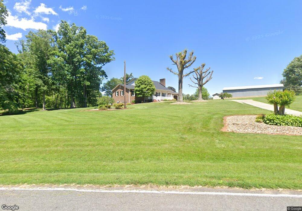
This home is located at 1032 Carson Watts Rd, King, NC 27021 and is currently estimated at $359,963, approximately $215 per square foot. 1032 Carson Watts Rd is a home located in Stokes County with nearby schools including Mount Olive Elementary School, Chestnut Grove Middle, and West Stokes High.
Ownership History
We collect this data history from publicly available records. To have your information removed, we recommend requesting removal directly through your county’s website.
Purchase Details
Home Financials for this Owner
Home Financials are based on the most recent Mortgage that was taken out on this home.Home Values in the Area
Average Home Value in this Area
Purchase History
We collect this data history from publicly available records. To have your information removed, we recommend requesting removal directly through your county’s website.
| Date | Buyer | Sale Price | Title Company |
|---|---|---|---|
| $330,000 | None Available |
Mortgage History
We collect this data history from publicly available records. To have your information removed, we recommend requesting removal directly through your county’s website.
| Date | Status | Borrower | Loan Amount |
|---|---|---|---|
| Open | $330,000 |
Tax History
We collect this data history from publicly available records. To have your information removed, we recommend requesting removal directly through your county’s website.
| Year | Tax Paid | Tax Assessment Tax Assessment Total Assessment is a certain percentage of the fair market value that is determined by local assessors to be the total taxable value of land and additions on the property. | Land | Improvement |
|---|---|---|---|---|
| 2025 | $2,039 | $285,200 | $36,800 | $248,400 |
| 2024 | $2,039 | $207,200 | $27,200 | $180,000 |
| 2023 | $1,678 | $207,200 | $27,200 | $180,000 |
| 2022 | $1,533 | $207,200 | $27,200 | $180,000 |
| 2021 | $1,533 | $207,200 | $27,200 | $180,000 |
| 2020 | $1,370 | $185,100 | $26,200 | $158,900 |
| 2019 | $1,370 | $185,100 | $26,200 | $158,900 |
| 2018 | $1,370 | $185,100 | $26,200 | $158,900 |
| 2017 | $1,360 | $185,100 | $26,200 | $158,900 |
| 2016 | $1,318 | $179,300 | $26,200 | $153,100 |
| 2015 | $1,309 | $179,300 | $26,200 | $153,100 |
| 2014 | $1,324 | $179,300 | $26,200 | $153,100 |
Map
- 117 Mountain Shadow Ln
- Lot 10 Brown Rd
- 0-0-0 Deerfield Dr
- 1461 Chestnut Grove Rd
- 117 Sandstone Dr
- 113 Sandstone Dr
- 110 Sandstone Dr
- 114 Sandstone Dr
- 105 Conifer Ct
- 106 Sandstone Dr
- 1788 Bowen Rd
- 1671 Bowen Rd
- 206 Flagstone Dr
- 102 Flagstone Dr
- 210 Flagstone Dr
- 214 Flagstone Dr
- 102 Limestone Ct
- 110 Limestone Ct
- 106 Limestone Ct
- 209 Oakmont Ct
- 2414 Chestnut Grove Rd
- 2411 Chestnut Grove Rd
- 1015 Moo Cow Ln
- 2375 Chestnut Grove Rd
- 2521 Chestnut Grove Rd
- 1051 Volunteer Rd
- 2535 Chestnut Grove Rd
- 2359 Chestnut Grove Rd
- 1027 Volunteer Rd
- 2559 Chestnut Grove Rd
- 1151 Carson Watts Rd
- 2558 Chestnut Grove Rd
- 2309 Chestnut Grove Rd
- 1090 Moo Cow Ln
- 1070 Kimberly Dr
- 2576 Chestnut Grove Rd
- 1042 Kimberly Dr
- 1025 Sterling Pointe Dr
- 2290 Chestnut Grove Rd
- 2287 Chestnut Grove Rd
Ask me questions while you tour the home.