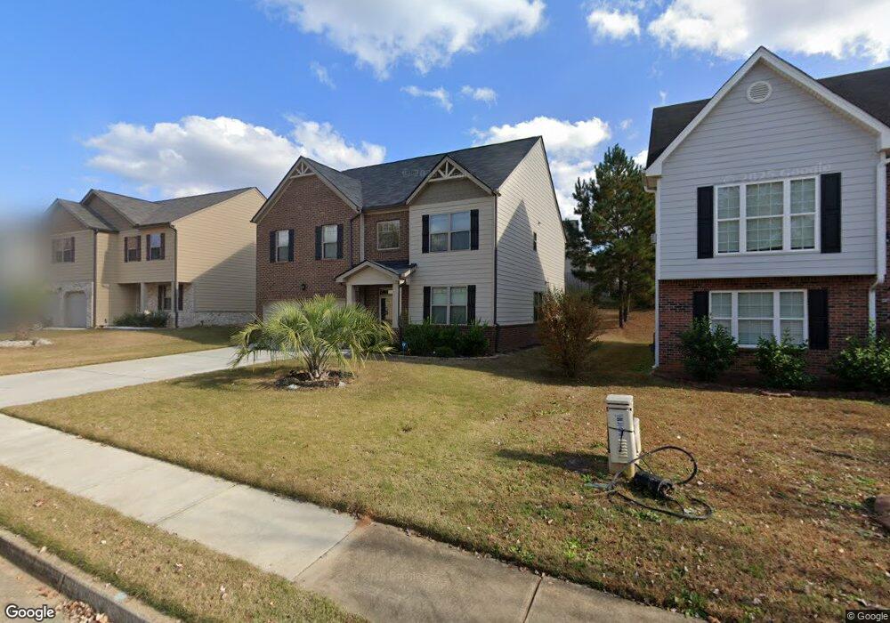
1032 Lear Dr Locust Grove, GA 30248
Estimated Value: $331,000 - $374,396
4
Beds
3
Baths
2,638
Sq Ft
$133/Sq Ft
Est. Value
About This Home
This home is located at 1032 Lear Dr, Locust Grove, GA 30248 and is currently estimated at $352,099, approximately $133 per square foot. 1032 Lear Dr is a home with nearby schools including Locust Grove Elementary School, Locust Grove Middle School, and Locust Grove High School.
Ownership History
Date
Name
Owned For
Owner Type
Purchase Details
Closed on
Feb 27, 2019
Sold by
Dr Horton Inc
Bought by
Clement Shawn D
Current Estimated Value
Home Financials for this Owner
Home Financials are based on the most recent Mortgage that was taken out on this home.
Original Mortgage
$216,112
Outstanding Balance
$189,614
Interest Rate
4.4%
Mortgage Type
FHA
Estimated Equity
$162,485
Purchase Details
Closed on
Aug 24, 2018
Sold by
Gdci Ga 6 Lp
Bought by
Dr Horton Inc
Purchase Details
Closed on
Aug 25, 2017
Sold by
Not Provided
Bought by
Gdci Ga 6 Lp
Purchase Details
Closed on
Jul 14, 2014
Sold by
Heritage Bank
Bought by
Neda Investments Llc
Create a Home Valuation Report for This Property
The Home Valuation Report is an in-depth analysis detailing your home's value as well as a comparison with similar homes in the area
Home Values in the Area
Average Home Value in this Area
Purchase History
| Date | Buyer | Sale Price | Title Company |
|---|---|---|---|
| Clement Shawn D | $220,100 | -- | |
| Dr Horton Inc | $440,477 | -- | |
| Gdci Ga 6 Lp | $341,057 | -- | |
| Neda Investments Llc | $428,000 | -- |
Source: Public Records
Mortgage History
| Date | Status | Borrower | Loan Amount |
|---|---|---|---|
| Open | Clement Shawn D | $216,112 |
Source: Public Records
Tax History
| Year | Tax Paid | Tax Assessment Tax Assessment Total Assessment is a certain percentage of the fair market value that is determined by local assessors to be the total taxable value of land and additions on the property. | Land | Improvement |
|---|---|---|---|---|
| 2025 | $4,243 | $154,200 | $16,000 | $138,200 |
| 2024 | $4,243 | $136,000 | $16,000 | $120,000 |
| 2023 | $3,731 | $143,360 | $21,200 | $122,160 |
| 2022 | $3,596 | $115,560 | $21,200 | $94,360 |
| 2021 | $3,112 | $94,880 | $21,200 | $73,680 |
| 2020 | $2,881 | $85,120 | $12,000 | $73,120 |
| 2019 | $1,518 | $41,240 | $12,000 | $29,240 |
| 2018 | $0 | $8,000 | $8,000 | $0 |
| 2016 | $283 | $7,760 | $7,760 | $0 |
| 2015 | $190 | $5,040 | $5,040 | $0 |
| 2014 | $91 | $2,400 | $2,400 | $0 |
Source: Public Records
Map
Nearby Homes
- 2031 Theberton Trail
- 409 Kirkland Dr
- 544 Moline Way
- 1249 Big Poplar Way
- 531 Carleton Place
- 269 Baumgard Way
- 188 Sophie Cir
- 842 Trillium Dr
- 838 Trillium Dr
- 837 Trillium Dr
- 833 Trillium Dr
- 830 Trillium Dr
- 825 Trillium Dr
- 846 Trillium Dr
- 361 Arnica Dr
- 198 Aster Ave
- 191 Aster Ave
- 114 Aster Ave
- 345 Arnica Dr
- 349 Arnica Dr
- 1030 Lear Dr
- 1034 Lear Dr
- 0 Lear Dr Unit 3146782
- 0 Lear Dr Unit 3146928
- 0 Lear Dr Unit 3146783
- 0 Lear Dr Unit 3225396
- 0 Lear Dr Unit 3225394
- 0 Lear Dr Unit 3225337
- 0 Lear Dr Unit 7024006
- 0 Lear Dr Unit 7023949
- 1139 Werre Way
- 1028 Lear Dr
- 1036 Lear Dr
- 1036 Lear Dr Unit 354
- 1143 Werre Way
- 1135 Werre Way
- 1503 Dunniston Dr
- 1147 Werre Way
- 1129 Werre Way
- 1024 Lear Dr Unit 359
Your Personal Tour Guide
Ask me questions while you tour the home.