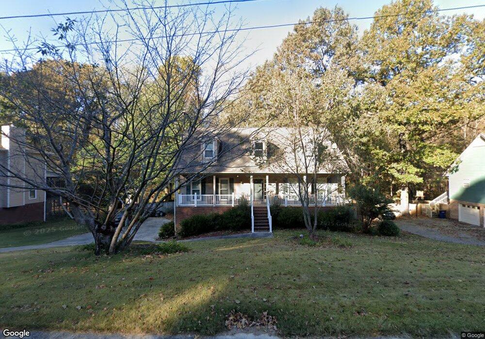
1033 Independence Ct Alabaster, AL 35007
Estimated Value: $314,438 - $347,000
About This Home
This home is located at 1033 Independence Ct, Alabaster, AL 35007 and is currently estimated at $327,360, approximately $162 per square foot. 1033 Independence Ct is a home located in Shelby County with nearby schools including Thompson Intermediate School, Thompson Middle School, and Thompson High School.
Ownership History
We collect this data history from publicly available records. To have your information removed, we recommend requesting removal directly through your county’s website.
Purchase Details
Home Financials for this Owner
Home Financials are based on the most recent Mortgage that was taken out on this home.Home Values in the Area
Average Home Value in this Area
Purchase History
We collect this data history from publicly available records. To have your information removed, we recommend requesting removal directly through your county’s website.
| Date | Buyer | Sale Price | Title Company |
|---|---|---|---|
| $146,900 | -- |
Mortgage History
We collect this data history from publicly available records. To have your information removed, we recommend requesting removal directly through your county’s website.
| Date | Status | Borrower | Loan Amount |
|---|---|---|---|
| Closed | $103,000 |
Tax History
We collect this data history from publicly available records. To have your information removed, we recommend requesting removal directly through your county’s website.
| Year | Tax Paid | Tax Assessment Tax Assessment Total Assessment is a certain percentage of the fair market value that is determined by local assessors to be the total taxable value of land and additions on the property. | Land | Improvement |
|---|---|---|---|---|
| 2025 | $1,560 | $28,880 | $0 | $0 |
| 2024 | $1,540 | $28,520 | $0 | $0 |
| 2023 | $1,365 | $26,040 | $0 | $0 |
| 2022 | $1,312 | $25,060 | $0 | $0 |
| 2021 | $1,131 | $21,700 | $0 | $0 |
| 2020 | $1,065 | $20,480 | $0 | $0 |
| 2019 | $983 | $18,960 | $0 | $0 |
| 2017 | $916 | $17,720 | $0 | $0 |
| 2015 | $873 | $16,920 | $0 | $0 |
| 2014 | $851 | $16,520 | $0 | $0 |
Map
- 1117 Independence Dr
- 1046 Independence Ct
- 1209 Sequoia Trail
- 1454 Falling Rock Cir
- 1207 Arrowhead Trail
- 1349 Old Boston Rd
- 2579 Scurlock Rd
- 1414 Timber Cir
- 2710 Braelinn Pkwy N
- 125 Setting Sun Ln
- 2588 Scurlock Rd
- 630 Navajo Trail
- 2580 Scurlock Rd
- 112 White Cap Cir
- 112 Sundance
- 132 Deer Run Dr
- 000 9th St NW
- 132 Portsouth Ln
- 201 Cloverleaf Cir
- 1433 Queen Ann Cir
- 1031 Independence Ct
- 1035 Independence Ct
- 1037 Independence Ct
- 1029 Independence Ct
- 1032 Independence Ct
- 1030 Independence Ct
- 1034 Independence Ct
- 1028 Independence Ct
- 1039 Independence Ct
- 1025 Independence Ct
- 1036 Independence Ct
- 1024 Independence Ct
- 1103 Independence Dr
- 1105 Independence Dr
- 1041 Independence Ct
- 1038 Independence Ct
- 1107 Independence Dr
- 1101 Independence Dr
- 1025 Independence Dr
- 1040 Independence Ct
Ask me questions while you tour the home.