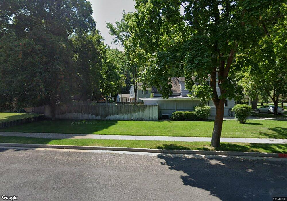
1034 E Thrushood Dr Logan, UT 84321
Wilson NeighborhoodEstimated Value: $641,000 - $649,531
About This Home
This home is located at 1034 E Thrushood Dr, Logan, UT 84321 and is currently estimated at $644,883, approximately $174 per square foot. 1034 E Thrushood Dr is a home located in Cache County with nearby schools including Wilson School, Mount Logan Middle School, and Logan High School.
Ownership History
We collect this data history from publicly available records. To have your information removed, we recommend requesting removal directly through your county’s website.
Purchase Details
Home Financials for this Owner
Home Financials are based on the most recent Mortgage that was taken out on this home.Purchase Details
Home Financials for this Owner
Home Financials are based on the most recent Mortgage that was taken out on this home.Purchase Details
Home Financials for this Owner
Home Financials are based on the most recent Mortgage that was taken out on this home.Home Values in the Area
Average Home Value in this Area
Purchase History
We collect this data history from publicly available records. To have your information removed, we recommend requesting removal directly through your county’s website.
| Date | Buyer | Sale Price | Title Company |
|---|---|---|---|
| -- | Fidelity National Title | ||
| -- | Cache Title Company Inc | ||
| -- | Cache Title |
Mortgage History
We collect this data history from publicly available records. To have your information removed, we recommend requesting removal directly through your county’s website.
| Date | Status | Borrower | Loan Amount |
|---|---|---|---|
| Open | $627,590 | ||
| Previous Owner | $513,000 | ||
| Previous Owner | $277,700 |
Tax History
We collect this data history from publicly available records. To have your information removed, we recommend requesting removal directly through your county’s website.
| Year | Tax Paid | Tax Assessment Tax Assessment Total Assessment is a certain percentage of the fair market value that is determined by local assessors to be the total taxable value of land and additions on the property. | Land | Improvement |
|---|---|---|---|---|
| 2025 | $268 | $346,780 | $0 | $0 |
| 2024 | $2,768 | $346,780 | $0 | $0 |
| 2023 | $2,891 | $345,180 | $0 | $0 |
| 2022 | $2,760 | $307,780 | $0 | $0 |
| 2021 | $2,679 | $461,480 | $77,600 | $383,880 |
| 2020 | $2,564 | $397,500 | $77,600 | $319,900 |
| 2019 | $2,597 | $385,268 | $77,600 | $307,668 |
| 2018 | $2,498 | $338,336 | $77,600 | $260,736 |
| 2017 | $2,247 | $160,875 | $0 | $0 |
| 2016 | $2,329 | $160,875 | $0 | $0 |
| 2015 | $2,332 | $160,875 | $0 | $0 |
| 2014 | $1,796 | $137,025 | $0 | $0 |
| 2013 | -- | $137,025 | $0 | $0 |
Map
- 27 Canterbury Ln
- 1045 Fox Farm Rd
- 1164 Mountain Rd
- 83 Canterbury Cir
- 28 River Pointe Dr
- 1218 E 100 S
- 1290 Cliffside Dr
- 965 Johnson Ln
- 778 E 200 N
- 1217 Eastridge Dr
- 814 Mountain Rd
- 730 E 200 N
- 729 E 200 N
- 1345 E 100 S
- 1365 Sumac Dr
- 684 Apple Dr
- 30 Shadow Mountain Dr
- 327 N 1430 E
- 45 River Circle Dr
- 606 Le Ruisseau Dr
- 1050 Thrushwood Dr
- 1066 Thrushwood Dr
- 1016 Thrushwood Dr
- 1055 E Thrushwood Drive Dr N
- 1055 Thrushwood Dr
- 1080 Thrushwood Dr
- 1069 Thrushwood Dr
- 1043 Thrushwood Dr
- 1027 Thrushwood Dr
- 1083 Thrushwood Dr
- 1062 Sumac Dr
- 996 Thrushwood Dr
- 182 N Thrushwood Dr
- 181 N Thrushwood Dr
- 1015 E 100 N
- 1054 Sumac Dr
- 1078 Sumac Dr
- 1005 Thrushwood Dr
- 1097 Thrushwood Dr
- 194 N Thrushwood Dr
Ask me questions while you tour the home.