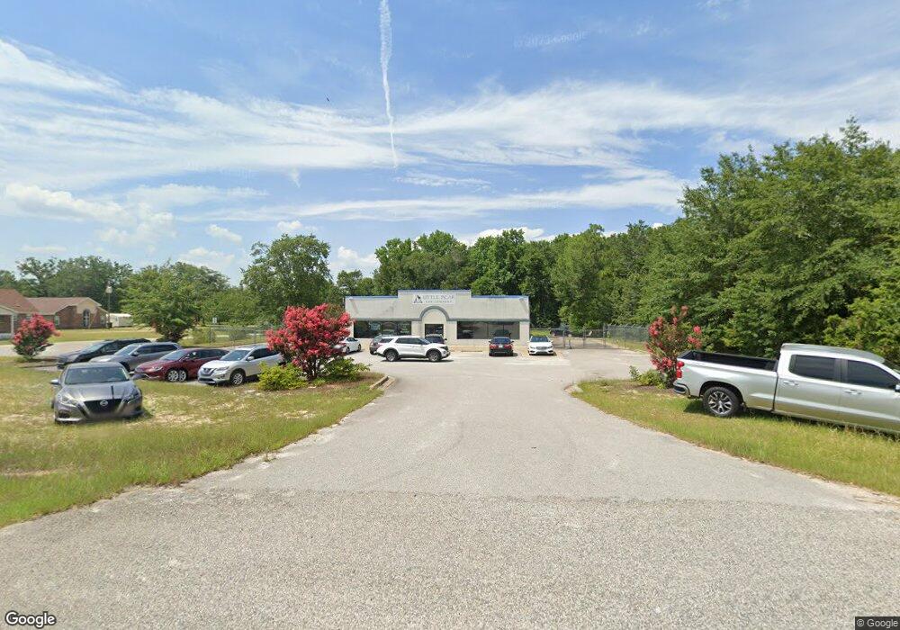
1034 Highway 1 S Lugoff, SC 29078
Estimated Value: $160,000 - $389,000
Studio
--
Bath
6,000
Sq Ft
$47/Sq Ft
Est. Value
About This Home
This home is located at 1034 Highway 1 S, Lugoff, SC 29078 and is currently estimated at $281,000, approximately $46 per square foot. 1034 Highway 1 S is a home located in Kershaw County with nearby schools including Lugoff Elementary School, Lugoff-Elgin Middle School, and Lugoff-Elgin High School.
Ownership History
Date
Name
Owned For
Owner Type
Purchase Details
Closed on
Jan 31, 2024
Sold by
Nocilo Thomas E
Bought by
Olicon Properties Llc
Current Estimated Value
Purchase Details
Closed on
Dec 13, 2022
Sold by
Weeds Marine And Outdoor Llc
Bought by
Nocilo Thomas E
Home Financials for this Owner
Home Financials are based on the most recent Mortgage that was taken out on this home.
Original Mortgage
$326,250
Interest Rate
6.95%
Mortgage Type
New Conventional
Purchase Details
Closed on
Nov 29, 2022
Sold by
Weeds Marine And Outdoor Llc
Bought by
Nocilo Thomas E
Home Financials for this Owner
Home Financials are based on the most recent Mortgage that was taken out on this home.
Original Mortgage
$326,250
Interest Rate
6.95%
Mortgage Type
New Conventional
Purchase Details
Closed on
Sep 23, 2015
Sold by
Weed Holly M
Bought by
Weeds Marine & Outdoor Llc
Purchase Details
Closed on
Oct 4, 2011
Sold by
Weed Landon T
Bought by
Weed Holly M
Create a Home Valuation Report for This Property
The Home Valuation Report is an in-depth analysis detailing your home's value as well as a comparison with similar homes in the area
Purchase History
We collect this data history from publicly available records. To have your information removed, we recommend requesting removal directly through your county’s website.
| Date | Buyer | Sale Price | Title Company |
|---|---|---|---|
| Olicon Properties Llc | -- | -- | |
| Nocilo Thomas E | $435,000 | -- | |
| Nocilo Thomas E | $435,000 | None Listed On Document | |
| Nocilo Thomas E | $435,000 | None Listed On Document | |
| Weeds Marine & Outdoor Llc | -- | -- | |
| Weed Holly M | -- | -- |
Source: Public Records
Mortgage History
We collect this data history from publicly available records. To have your information removed, we recommend requesting removal directly through your county’s website.
| Date | Status | Borrower | Loan Amount |
|---|---|---|---|
| Previous Owner | Nocilo Thomas E | $326,250 |
Source: Public Records
Tax History
| Year | Tax Paid | Tax Assessment Tax Assessment Total Assessment is a certain percentage of the fair market value that is determined by local assessors to be the total taxable value of land and additions on the property. | Land | Improvement |
|---|---|---|---|---|
| 2025 | $132 | $2,500 | $2,500 | $0 |
| 2024 | $132 | $2,500 | $2,500 | $0 |
| 2023 | $2,829 | $435,000 | $250,000 | $185,000 |
| 2022 | $4,784 | $393,000 | $226,000 | $167,000 |
| 2021 | $4,743 | $393,000 | $226,000 | $167,000 |
| 2020 | $4,153 | $210,100 | $100,000 | $110,100 |
| 2019 | $4,197 | $210,100 | $100,000 | $110,100 |
| 2018 | $4,147 | $210,100 | $100,000 | $110,100 |
| 2017 | $4,102 | $210,100 | $100,000 | $110,100 |
| 2016 | $4,040 | $210,100 | $100,000 | $110,100 |
| 2015 | $5,011 | $210,100 | $100,000 | $110,100 |
| 2014 | $5,011 | $0 | $0 | $0 |
Source: Public Records
Map
Nearby Homes
- 1127 Bayview Dr
- 27 Westover Ave
- 99 Horatio Ln
- 103 Horatio Ln
- 95 Horatio Ln
- 96 Horatio Ln
- 92 Horatio Ln
- 1026 Rampart Ct
- 1018 Rampart Ct
- 1030 Rampart Ct
- 100 Horatio Ln
- 156 Horatio Ln
- 114 Horatio Ln
- 160 Horatio Ln
- 1012 Salient Ct
- 1020 Salient Ct
- 232 Boulware Rd
- 1017 Salient Ct
- 1021 Salient Ct
- 1054 Rampart Ct
- 1030 Highway 1 S
- 1363 U S Route 1
- 1148 U S Route 1
- 1041 Highway 1 S
- 1013 Highway 1 S
- 119 Highway 601 S
- 1053 Highway 1 S
- 125 Highway 601 S
- 1108 Spring Rd
- 58 Baldwin Ave
- 32 Jamie Ln
- 104 Highway 601 S
- 47 Baldwin Ave
- 1060 Highway 1 S
- 111 Kinard Rd
- 1952 State Road S-28-318
- 1065 Highway 1 S
- 1061 Highway 1 S
- 1071 Highway 1 S
- 96 Highway 601 S
Your Personal Tour Guide
Ask me questions while you tour the home.