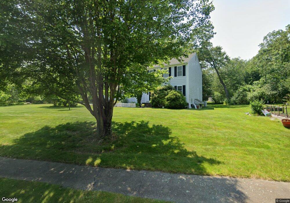
1034 Maple St Mansfield, MA 02048
Estimated Value: $725,832 - $939,000
3
Beds
3
Baths
1,728
Sq Ft
$465/Sq Ft
Est. Value
About This Home
This home is located at 1034 Maple St, Mansfield, MA 02048 and is currently estimated at $802,708, approximately $464 per square foot. 1034 Maple St is a home located in Bristol County with nearby schools including Jordan/Jackson Elementary School, Everett W. Robinson Elementary School, and Harold L. Qualters Middle School.
Ownership History
Date
Name
Owned For
Owner Type
Purchase Details
Closed on
May 28, 2025
Sold by
Wheeler Paul H and Wheeler Elizabeth C
Bought by
Wheeler Nt and Wheeler
Current Estimated Value
Purchase Details
Closed on
Jul 30, 1999
Sold by
Shea Edward M and Shea Cheryl L
Bought by
Wheeler Paul H and Wheeler Elizabeth Coe
Purchase Details
Closed on
Oct 31, 1995
Sold by
Worldwide Dev Corp
Bought by
Shea Edward W and Shea Cheryl L
Purchase Details
Closed on
Jun 12, 1995
Sold by
Superior Rt
Bought by
Worldwide Dev Corp
Create a Home Valuation Report for This Property
The Home Valuation Report is an in-depth analysis detailing your home's value as well as a comparison with similar homes in the area
Home Values in the Area
Average Home Value in this Area
Purchase History
We collect this data history from publicly available records. To have your information removed, we recommend requesting removal directly through your county’s website.
| Date | Buyer | Sale Price | Title Company |
|---|---|---|---|
| Wheeler Nt | -- | None Available | |
| Wheeler Nt | -- | None Available | |
| Wheeler Paul H | $264,700 | -- | |
| Wheeler Paul H | $264,700 | -- | |
| Shea Edward W | $194,000 | -- | |
| Shea Edward W | $194,000 | -- | |
| Worldwide Dev Corp | $70,000 | -- | |
| Worldwide Dev Corp | $70,000 | -- |
Source: Public Records
Mortgage History
We collect this data history from publicly available records. To have your information removed, we recommend requesting removal directly through your county’s website.
| Date | Status | Borrower | Loan Amount |
|---|---|---|---|
| Previous Owner | Worldwide Dev Corp | $167,500 | |
| Previous Owner | Worldwide Dev Corp | $190,900 |
Source: Public Records
Tax History
| Year | Tax Paid | Tax Assessment Tax Assessment Total Assessment is a certain percentage of the fair market value that is determined by local assessors to be the total taxable value of land and additions on the property. | Land | Improvement |
|---|---|---|---|---|
| 2025 | $8,078 | $613,400 | $242,800 | $370,600 |
| 2024 | $7,849 | $581,400 | $242,800 | $338,600 |
| 2023 | $7,580 | $538,000 | $242,800 | $295,200 |
| 2022 | $7,298 | $481,100 | $224,700 | $256,400 |
| 2021 | $4,809 | $474,500 | $196,700 | $277,800 |
| 2020 | $5,221 | $457,700 | $187,400 | $270,300 |
| 2019 | $5,111 | $428,800 | $156,000 | $272,800 |
| 2018 | $6,486 | $416,600 | $148,800 | $267,800 |
| 2017 | $6,083 | $405,000 | $144,600 | $260,400 |
| 2016 | $5,911 | $383,600 | $137,700 | $245,900 |
| 2015 | $5,749 | $370,900 | $137,700 | $233,200 |
Source: Public Records
Map
Nearby Homes
Your Personal Tour Guide
Ask me questions while you tour the home.