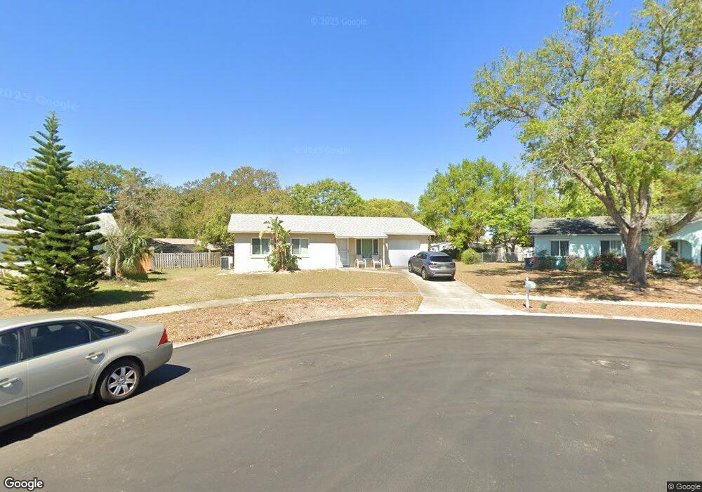
1034 Tompkins Dr Port Orange, FL 32129
North Port Orange NeighborhoodEstimated Value: $206,000 - $248,000
About This Home
This home is located at 1034 Tompkins Dr, Port Orange, FL 32129 and is currently estimated at $226,208, approximately $246 per square foot. 1034 Tompkins Dr is a home located in Volusia County with nearby schools including Sugar Mill Elementary School, Atlantic High School, and Silver Sands Middle School.
Ownership History
We collect this data history from publicly available records. To have your information removed, we recommend requesting removal directly through your county’s website.
Purchase Details
Purchase Details
Purchase Details
Purchase Details
Home Values in the Area
Average Home Value in this Area
Purchase History
We collect this data history from publicly available records. To have your information removed, we recommend requesting removal directly through your county’s website.
| Date | Buyer | Sale Price | Title Company |
|---|---|---|---|
| $100 | None Listed On Document | ||
| $80,900 | -- | ||
| -- | -- | ||
| $39,500 | -- |
Mortgage History
We collect this data history from publicly available records. To have your information removed, we recommend requesting removal directly through your county’s website.
| Date | Status | Borrower | Loan Amount |
|---|---|---|---|
| Previous Owner | $71,609 |
Tax History
We collect this data history from publicly available records. To have your information removed, we recommend requesting removal directly through your county’s website.
| Year | Tax Paid | Tax Assessment Tax Assessment Total Assessment is a certain percentage of the fair market value that is determined by local assessors to be the total taxable value of land and additions on the property. | Land | Improvement |
|---|---|---|---|---|
| 2026 | $712 | $75,536 | ||
| 2025 | $712 | $73,551 | ||
| 2024 | $673 | $71,479 | ||
| 2023 | $673 | $69,398 | $0 | $0 |
| 2022 | $651 | $67,377 | $0 | $0 |
| 2021 | $672 | $65,415 | $0 | $0 |
| 2020 | $663 | $64,512 | $0 | $0 |
| 2019 | $653 | $63,062 | $0 | $0 |
| 2018 | $1,941 | $97,270 | $17,971 | $79,299 |
| 2017 | $668 | $60,613 | $0 | $0 |
| 2016 | $665 | $59,366 | $0 | $0 |
| 2015 | $685 | $58,953 | $0 | $0 |
| 2014 | $690 | $58,485 | $0 | $0 |
Map
- 770 Rolling Hills Dr
- 780 Greenfield Dr
- 714 Leward Way
- 743 Cricket Ct
- 706 Leward Way
- 4576 Phipps Dr
- 162 Brandy Hills Dr
- 721 Larado Dr
- 735 Fawn Ct
- 195 Gibson Way
- 199 Gibson Way
- 4589 Terrace Village Dr
- 151 Brandy Hills Dr
- 94 Glass Ct
- 93 Glass Ct
- 719 Fieldstone Ave
- 722 La Grange Ave
- 727 Rolling Hills Dr
- 727 Rolling Hills Dr
- 122 Aloha Terrace
- 726 Rampart Dr
- 780 Rolling Hills Dr
- 1405 Minkoff Dr
- 728 Rampart Dr
- 716 Rampart Dr
- 1032 Tompkins Dr
- 725 Rampart Dr
- 778 Rolling Hills Dr
- 730 Rampart Dr
- 714 Rampart Dr
- 727 Rampart Dr
- 1407 Minkoff Dr
- 775 Rolling Hills Dr
- 1030 Tompkins Dr
- 1036 Tompkins Dr
- 4565 Hoyt Dr
- 770 Laurel Spring Dr
- 729 Rampart Dr
- 732 Rampart Dr
- 1409 Minkoff Dr
Ask me questions while you tour the home.