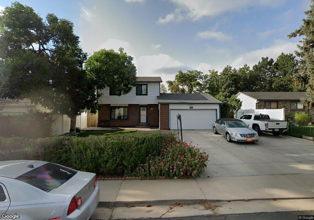
1036 Croke Dr Thornton, CO 80260
Alta Ridge NeighborhoodEstimated Value: $459,000 - $556,000
About This Home
This home is located at 1036 Croke Dr, Thornton, CO 80260 and is currently estimated at $512,510, approximately $444 per square foot. 1036 Croke Dr is a home located in Adams County with nearby schools including North Mor Elementary School, Northglenn Middle School, and Northglenn High School.
Ownership History
We collect this data history from publicly available records. To have your information removed, we recommend requesting removal directly through your county’s website.
Purchase Details
Home Financials for this Owner
Home Financials are based on the most recent Mortgage that was taken out on this home.Purchase Details
Purchase Details
Home Values in the Area
Average Home Value in this Area
Purchase History
We collect this data history from publicly available records. To have your information removed, we recommend requesting removal directly through your county’s website.
| Date | Buyer | Sale Price | Title Company |
|---|---|---|---|
| -- | Heritage Title | ||
| -- | None Available | ||
| -- | -- |
Mortgage History
We collect this data history from publicly available records. To have your information removed, we recommend requesting removal directly through your county’s website.
| Date | Status | Borrower | Loan Amount |
|---|---|---|---|
| Open | $140,000 |
Tax History
We collect this data history from publicly available records. To have your information removed, we recommend requesting removal directly through your county’s website.
| Year | Tax Paid | Tax Assessment Tax Assessment Total Assessment is a certain percentage of the fair market value that is determined by local assessors to be the total taxable value of land and additions on the property. | Land | Improvement |
|---|---|---|---|---|
| 2025 | $2,710 | $36,450 | $6,800 | $29,650 |
| 2024 | $2,710 | $33,500 | $6,250 | $27,250 |
| 2023 | $2,684 | $35,450 | $5,750 | $29,700 |
| 2022 | $2,384 | $27,630 | $5,910 | $21,720 |
| 2021 | $2,464 | $27,630 | $5,910 | $21,720 |
| 2020 | $2,346 | $27,260 | $6,080 | $21,180 |
| 2019 | $2,351 | $27,260 | $6,080 | $21,180 |
| 2018 | $1,701 | $21,320 | $5,900 | $15,420 |
| 2017 | $1,549 | $21,320 | $5,900 | $15,420 |
| 2016 | $1,688 | $22,920 | $3,100 | $19,820 |
| 2015 | $1,686 | $14,970 | $2,030 | $12,940 |
| 2014 | $619 | $5,330 | $1,150 | $4,180 |
Map
- 9436 Jason Way
- 1201 W Thornton Pkwy Unit 103
- 1201 W Thornton Pkwy Unit 223
- 9433 Lou Dr
- 9463 Lou Dr
- 887 W 96th Place
- 747 W 96th Ave Unit 12
- 747 W 96th Ave Unit 10
- 9184 Gale Blvd Unit 1
- 9080 Gale Blvd Unit 3
- 707 W 96th Ave Unit 2
- 9621 Orangewood Dr
- 9068 Gale Blvd Unit 1
- 9651 Fox St
- 1801 W 92nd Ave Unit 234
- 1801 W 92nd Ave Unit 513
- 1801 W 92nd Ave Unit 682
- 1801 W 92nd Ave Unit 278
- 1801 W 92nd Ave Unit 404
- 1801 W 92nd Ave Unit 279
Ask me questions while you tour the home.