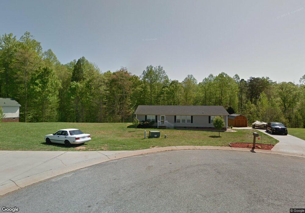
1036 Daniel Dr Stanley, NC 28164
Estimated Value: $252,000 - $298,000
About This Home
This home is located at 1036 Daniel Dr, Stanley, NC 28164 and is currently estimated at $278,333, approximately $160 per square foot. 1036 Daniel Dr is a home located in Gaston County with nearby schools including Springfield Primary School, Kiser Elementary School, and Stanley Middle School.
Ownership History
We collect this data history from publicly available records. To have your information removed, we recommend requesting removal directly through your county’s website.
Purchase Details
Home Financials for this Owner
Home Financials are based on the most recent Mortgage that was taken out on this home.Purchase Details
Purchase Details
Home Financials for this Owner
Home Financials are based on the most recent Mortgage that was taken out on this home.Purchase Details
Home Values in the Area
Average Home Value in this Area
Purchase History
We collect this data history from publicly available records. To have your information removed, we recommend requesting removal directly through your county’s website.
| Date | Buyer | Sale Price | Title Company |
|---|---|---|---|
| $110,000 | None Available | ||
| $61,201 | None Available | ||
| $166,500 | Stewart Title Guaranty Co | ||
| -- | -- |
Mortgage History
We collect this data history from publicly available records. To have your information removed, we recommend requesting removal directly through your county’s website.
| Date | Status | Borrower | Loan Amount |
|---|---|---|---|
| Open | $112,244 | ||
| Previous Owner | $125,700 |
Tax History
We collect this data history from publicly available records. To have your information removed, we recommend requesting removal directly through your county’s website.
| Year | Tax Paid | Tax Assessment Tax Assessment Total Assessment is a certain percentage of the fair market value that is determined by local assessors to be the total taxable value of land and additions on the property. | Land | Improvement |
|---|---|---|---|---|
| 2025 | $1,979 | $277,130 | $25,740 | $251,390 |
| 2024 | $1,979 | $277,130 | $25,740 | $251,390 |
| 2023 | $1,926 | $277,130 | $25,740 | $251,390 |
| 2022 | $1,547 | $168,200 | $15,500 | $152,700 |
| 2021 | $1,569 | $168,200 | $15,500 | $152,700 |
| 2019 | $1,569 | $168,200 | $15,500 | $152,700 |
| 2018 | $1,296 | $136,393 | $24,000 | $112,393 |
| 2017 | $1,298 | $136,393 | $24,000 | $112,393 |
| 2016 | $1,298 | $136,611 | $0 | $0 |
| 2014 | $1,449 | $154,149 | $30,000 | $124,149 |
Map
- 1024 Daniel Dr
- 5005 Oconee Dr
- 5309 Hickory Grove Rd
- 116 Brooks Dr
- 5250 Hickory Grove Rd
- 102 Wingate Dr
- 525 Haviture Way
- 5208 Hickory Grove Rd
- 145 Upper Spencer Mountain Rd
- 913 Grace Dr
- 148 Miss Ellie Ln
- 120 General Pemberton St
- 502 Coffeetree Ln
- 824 Joseph Antoon Cir
- 123 General Pemberton St
- 118 Ethel Dr
- 104 Provincial Rd
- 144 Walking Horse Run
- 101 Citation Ln
- 211 General Stonewall Jackson St
- 1032 Daniel Dr
- 1037 Daniel Dr
- 1027 Daniel Dr
- 1028 Daniel Dr
- 1408 Ashley Creek Ct
- 1023 Daniel Dr
- 1242 Blake Dr
- 1240 Blake Dr
- 1404 Ashley Creek Ct
- 237 Shadowbrook Dr
- 1412 Ashley Creek Ct
- 1019 Daniel Dr
- 239 Shadowbrook Rd
- 239 Shadowbrook Dr
- 1020 Daniel Dr
- 221 Shadowbrook Dr
- 1244 Blake Dr
- 1015 Daniel Dr
- 228 Shadowbrook Rd
- 243 Shadowbrook Dr
Ask me questions while you tour the home.