Estimated Value: $133,000 - $235,000
About This Home
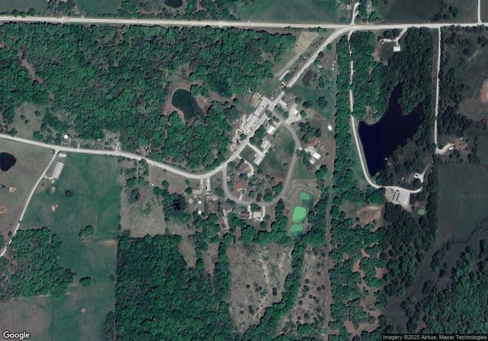
This home is located at 1036 Jet Rd, Macon, MO 63552 and is currently estimated at $191,227, approximately $126 per square foot. 1036 Jet Rd is a home located in Macon County with nearby schools including Macon Elementary School, Family Literacy Center, and Macon Middle School.
Ownership History
We collect this data history from publicly available records. To have your information removed, we recommend requesting removal directly through your county’s website.
Purchase Details
Purchase Details
Home Financials for this Owner
Home Financials are based on the most recent Mortgage that was taken out on this home.Purchase Details
Home Financials for this Owner
Home Financials are based on the most recent Mortgage that was taken out on this home.Home Values in the Area
Average Home Value in this Area
Purchase History
We collect this data history from publicly available records. To have your information removed, we recommend requesting removal directly through your county’s website.
| Date | Buyer | Sale Price | Title Company |
|---|---|---|---|
| -- | American Title Abstract | ||
| $115,520 | Macon Cnty Title & Escrow Svcs | ||
| -- | Macon Cnty Title Llc |
Mortgage History
We collect this data history from publicly available records. To have your information removed, we recommend requesting removal directly through your county’s website.
| Date | Status | Borrower | Loan Amount |
|---|---|---|---|
| Previous Owner | $114,377 | ||
| Previous Owner | $35,000 |
Tax History
We collect this data history from publicly available records. To have your information removed, we recommend requesting removal directly through your county’s website.
| Year | Tax Paid | Tax Assessment Tax Assessment Total Assessment is a certain percentage of the fair market value that is determined by local assessors to be the total taxable value of land and additions on the property. | Land | Improvement |
|---|---|---|---|---|
| 2025 | $904 | $19,700 | $800 | $18,900 |
| 2024 | $9 | $17,520 | $0 | $0 |
| 2023 | $900 | $17,520 | $0 | $0 |
| 2022 | $824 | $17,520 | $0 | $0 |
| 2021 | $673 | $16,060 | $0 | $0 |
| 2020 | $676 | $13,180 | $0 | $0 |
| 2019 | $674 | $13,180 | $13,180 | $0 |
| 2018 | $645 | $13,180 | $13,180 | $0 |
| 2017 | $596 | $69,350 | $3,600 | $65,750 |
| 2016 | $578 | $13,180 | $0 | $0 |
| 2015 | -- | $12,720 | $0 | $0 |
| 2014 | -- | $12,720 | $0 | $0 |
| 2012 | -- | $12,720 | $0 | $0 |
Map
- 27836 Southwest Blvd
- 29601 Cottenwood Ln
- 29601 Cottonwood Ln
- 803 Coates St
- 919 Coates St
- 102 W 2nd St
- 102 Crescent Dr
- 107 Main St
- 1002 Sunset Dr
- 509 Western Dr
- 809 Holman Ln
- 204 Madison St
- 1708 Robin Hood Ln
- 210 Madison St
- 604 N Rutherford St
- 604 Jackson St
- 1706 Robin Hood Ln
- 205 Pace St
- 801 Overbrook Dr
- 1903 W Shore Dr
- 1031 Jericho Loop
- 1030 Jet Rd
- 1032 Jericho Loop
- 29536 Jet Rd
- 1028 Jericho Loop
- 1026 Jet Rd
- 1024 Jericho Loop
- 29597 Jet Rd
- 1020 Jet Rd
- 29468 Jet Rd
- 29504 Jet Rd
- 29682 Southwest Blvd
- 27748 Southwest Blvd
- 29362 Jet Rd
- 29726 Southwest Blvd
- 830 Southwest Blvd
- 000 Jet Rd
- 29361 Jet Rd
- 29677 Southwest Blvd
- 902 Ogden St
Ask me questions while you tour the home.