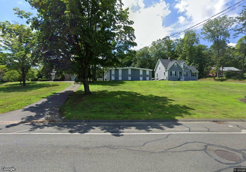
1036 Suffield St Unit 1 Agawam, MA 01001
Estimated Value: $696,945
2
Beds
2
Baths
1,450
Sq Ft
$481/Sq Ft
Est. Value
About This Home
This home is located at 1036 Suffield St Unit 1, Agawam, MA 01001 and is currently estimated at $696,945, approximately $480 per square foot. 1036 Suffield St Unit 1 is a home located in Hampden County with nearby schools including Agawam Junior High School and Agawam High School.
Ownership History
Date
Name
Owned For
Owner Type
Purchase Details
Closed on
Jan 20, 2015
Sold by
Breglio Realty Llc
Bought by
Dhr Enterprises Llc
Current Estimated Value
Home Financials for this Owner
Home Financials are based on the most recent Mortgage that was taken out on this home.
Original Mortgage
$280,000
Outstanding Balance
$215,099
Interest Rate
3.92%
Mortgage Type
Commercial
Estimated Equity
$481,846
Purchase Details
Closed on
Apr 3, 2007
Sold by
Breco Spring Co Inc
Bought by
Breglio Rlty Llc
Create a Home Valuation Report for This Property
The Home Valuation Report is an in-depth analysis detailing your home's value as well as a comparison with similar homes in the area
Home Values in the Area
Average Home Value in this Area
Purchase History
| Date | Buyer | Sale Price | Title Company |
|---|---|---|---|
| Dhr Enterprises Llc | $350,000 | -- | |
| Breglio Rlty Llc | -- | -- |
Source: Public Records
Mortgage History
| Date | Status | Borrower | Loan Amount |
|---|---|---|---|
| Open | Dhr Enterprises Llc | $280,000 |
Source: Public Records
Tax History
| Year | Tax Paid | Tax Assessment Tax Assessment Total Assessment is a certain percentage of the fair market value that is determined by local assessors to be the total taxable value of land and additions on the property. | Land | Improvement |
|---|---|---|---|---|
| 2025 | -- | $458,400 | $84,800 | $373,600 |
| 2024 | -- | $449,200 | $84,800 | $364,400 |
| 2023 | $0 | $403,600 | $111,900 | $291,700 |
| 2022 | $0 | $376,700 | $106,200 | $270,500 |
| 2021 | $0 | $355,500 | $74,200 | $281,300 |
| 2020 | $0 | $350,700 | $74,200 | $276,500 |
| 2019 | $0 | $345,000 | $74,200 | $270,800 |
| 2018 | $0 | $335,900 | $74,200 | $261,700 |
| 2017 | $0 | $323,600 | $74,200 | $249,400 |
| 2016 | -- | $319,200 | $74,200 | $245,000 |
| 2015 | -- | $308,900 | $74,200 | $234,700 |
Source: Public Records
Map
Nearby Homes
- 0 Springfield St Unit 73505279
- 0 Silver St
- 26 Haskell St
- 22 Ash Ln
- 959 Main St
- 6 Mansion Woods Dr Unit C
- 11 Mansion Woods Dr Unit F
- 511 Shoemaker Ln
- 138 Brookfield Ln
- 95 Carr Ave
- 23 Katherine Dr
- 712 Cooper St
- 24 Willow Brook Dr
- 646 Mill St
- 422 Cooper St
- 88 Country Rd
- 0 Hickory St Unit 24099336
- 208 School St
- 40 Corey Colonial
- 70 Corey Colonial
- 1036 Suffield St
- 1050 Suffield St
- 1039 Suffield St
- 1047 Suffield St
- 1010 Suffield St
- 1057 Suffield St
- 1025 Suffield St
- 16 Doloris Ln
- 1017 Suffield St
- 1065 Suffield St
- 1004 Suffield St
- 17 Doloris Ln
- 1009 Suffield St
- 100 Zachary Ln
- 1075 Suffield St
- L13 Doloris Ln
- 28 Doloris Ln
- 89 Zachary Ln
- 1083 Suffield St
- 29 Doloris Ln
Your Personal Tour Guide
Ask me questions while you tour the home.