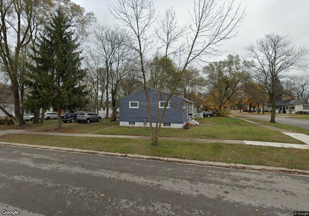
1037 Cedar St Port Huron, MI 48060
Estimated Value: $87,000 - $106,767
2
Beds
1
Bath
825
Sq Ft
$117/Sq Ft
Est. Value
About This Home
This home is located at 1037 Cedar St, Port Huron, MI 48060 and is currently estimated at $96,692, approximately $117 per square foot. 1037 Cedar St is a home located in St. Clair County with nearby schools including Woodrow Wilson Elementary School, Central Middle School, and Port Huron High School.
Ownership History
Date
Name
Owned For
Owner Type
Purchase Details
Closed on
Sep 16, 2016
Sold by
Greuber Patricia and Greuber James
Bought by
Gleason Laura E
Current Estimated Value
Home Financials for this Owner
Home Financials are based on the most recent Mortgage that was taken out on this home.
Original Mortgage
$40,257
Outstanding Balance
$32,603
Interest Rate
3.87%
Mortgage Type
FHA
Estimated Equity
$64,089
Purchase Details
Closed on
Oct 1, 2012
Sold by
Roberts Burnett Kelly
Bought by
Greuber Patricia and Greuber James
Create a Home Valuation Report for This Property
The Home Valuation Report is an in-depth analysis detailing your home's value as well as a comparison with similar homes in the area
Home Values in the Area
Average Home Value in this Area
Purchase History
| Date | Buyer | Sale Price | Title Company |
|---|---|---|---|
| Gleason Laura E | $41,000 | None Available | |
| Greuber Patricia | $10,000 | None Available |
Source: Public Records
Mortgage History
| Date | Status | Borrower | Loan Amount |
|---|---|---|---|
| Open | Gleason Laura E | $40,257 |
Source: Public Records
Tax History
| Year | Tax Paid | Tax Assessment Tax Assessment Total Assessment is a certain percentage of the fair market value that is determined by local assessors to be the total taxable value of land and additions on the property. | Land | Improvement |
|---|---|---|---|---|
| 2025 | $935 | $43,200 | $0 | $0 |
| 2024 | $910 | $41,000 | $0 | $0 |
| 2023 | $860 | $36,400 | $0 | $0 |
| 2022 | $832 | $30,200 | $0 | $0 |
| 2020 | $799 | $23,000 | $23,000 | $0 |
| 2019 | $785 | $16,200 | $0 | $0 |
| 2018 | $768 | $16,200 | $0 | $0 |
| 2017 | $687 | $15,200 | $0 | $0 |
| 2016 | $819 | $15,200 | $0 | $0 |
| 2015 | $851 | $15,200 | $15,200 | $0 |
| 2014 | $851 | $15,800 | $15,800 | $0 |
| 2013 | -- | $17,700 | $0 | $0 |
Source: Public Records
Map
Nearby Homes
Your Personal Tour Guide
Ask me questions while you tour the home.