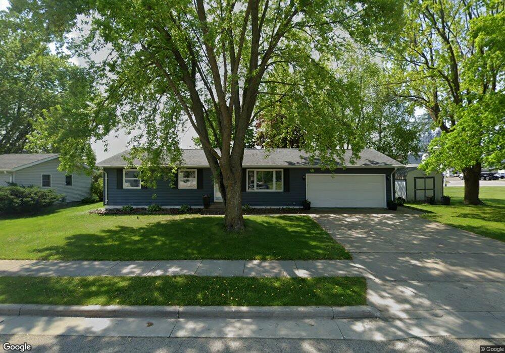
1037 Maple Ave Waupun, WI 53963
Estimated Value: $236,521 - $289,000
About This Home
This home is located at 1037 Maple Ave, Waupun, WI 53963 and is currently estimated at $254,380. 1037 Maple Ave is a home located in Fond du Lac County with nearby schools including Meadow View Primary School, Rock River Intermediate School, and Waupun Area Junior High School.
Ownership History
We collect this data history from publicly available records. To have your information removed, we recommend requesting removal directly through your county’s website.
Purchase Details
Purchase Details
Home Financials for this Owner
Home Financials are based on the most recent Mortgage that was taken out on this home.Home Values in the Area
Average Home Value in this Area
Purchase History
We collect this data history from publicly available records. To have your information removed, we recommend requesting removal directly through your county’s website.
| Date | Buyer | Sale Price | Title Company |
|---|---|---|---|
| $192,000 | Andrew Law Offices Sc | ||
| $113,000 | None Available |
Mortgage History
We collect this data history from publicly available records. To have your information removed, we recommend requesting removal directly through your county’s website.
| Date | Status | Borrower | Loan Amount |
|---|---|---|---|
| Previous Owner | $83,000 |
Tax History
We collect this data history from publicly available records. To have your information removed, we recommend requesting removal directly through your county’s website.
| Year | Tax Paid | Tax Assessment Tax Assessment Total Assessment is a certain percentage of the fair market value that is determined by local assessors to be the total taxable value of land and additions on the property. | Land | Improvement |
|---|---|---|---|---|
| 2025 | $2,889 | $208,000 | $33,000 | $175,000 |
| 2024 | $2,988 | $173,300 | $26,500 | $146,800 |
| 2023 | $2,824 | $173,300 | $26,500 | $146,800 |
| 2022 | $2,795 | $173,300 | $26,500 | $146,800 |
| 2021 | $2,354 | $116,200 | $24,500 | $91,700 |
| 2020 | $2,412 | $116,200 | $24,500 | $91,700 |
| 2019 | $2,339 | $116,200 | $24,500 | $91,700 |
| 2018 | $2,263 | $116,200 | $24,500 | $91,700 |
| 2017 | $2,202 | $104,500 | $23,400 | $81,100 |
| 2016 | $2,064 | $104,500 | $23,400 | $81,100 |
| 2015 | $2,560 | $104,500 | $23,400 | $81,100 |
| 2014 | $2,118 | $104,500 | $23,400 | $81,100 |
| 2013 | $2,189 | $104,500 | $23,400 | $81,100 |
Map
- 43 Dogleg Ln
- 904 Pleasant Ave
- 723 W Brown St
- 0 S Patte Dr Unit 2016202
- 522 W Lincoln St
- 308 Taylor St
- 315 Mckinley St
- 203 N Mill St
- 315 E Main St
- 204 Park Ave
- 241 S Madison St
- 660 Cochrane St
- 514 Wilcox St
- 300 Rounsville St
- 604 E Franklin St
- 401 S Watertown St
- 812 E Jefferson St
- N10417 State Road 26
- N3502-3586 US Hwy 151 Hwy
- 12649 W State Road 49 Rd
Ask me questions while you tour the home.