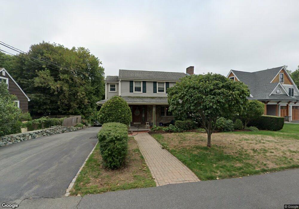
104 Albert Rd Auburndale, MA 02466
Auburndale NeighborhoodEstimated Value: $1,310,000 - $1,760,000
4
Beds
3
Baths
2,628
Sq Ft
$580/Sq Ft
Est. Value
About This Home
This home is located at 104 Albert Rd, Auburndale, MA 02466 and is currently estimated at $1,524,060, approximately $579 per square foot. 104 Albert Rd is a home located in Middlesex County with nearby schools including C.C. Burr, F.A. Day Middle School, and Newton North High School.
Ownership History
Date
Name
Owned For
Owner Type
Purchase Details
Closed on
Dec 20, 1996
Sold by
Est Raso Teresa and Raso Pasquale
Bought by
Raso Joseph
Current Estimated Value
Create a Home Valuation Report for This Property
The Home Valuation Report is an in-depth analysis detailing your home's value as well as a comparison with similar homes in the area
Home Values in the Area
Average Home Value in this Area
Purchase History
We collect this data history from publicly available records. To have your information removed, we recommend requesting removal directly through your county’s website.
| Date | Buyer | Sale Price | Title Company |
|---|---|---|---|
| Raso Joseph | $228,000 | -- |
Source: Public Records
Mortgage History
We collect this data history from publicly available records. To have your information removed, we recommend requesting removal directly through your county’s website.
| Date | Status | Borrower | Loan Amount |
|---|---|---|---|
| Open | Raso Joseph | $400,000 | |
| Closed | Raso Joseph | $100,000 |
Source: Public Records
Tax History
| Year | Tax Paid | Tax Assessment Tax Assessment Total Assessment is a certain percentage of the fair market value that is determined by local assessors to be the total taxable value of land and additions on the property. | Land | Improvement |
|---|---|---|---|---|
| 2025 | $13,101 | $1,336,800 | $1,001,900 | $334,900 |
| 2024 | $12,668 | $1,297,900 | $972,700 | $325,200 |
| 2023 | $12,061 | $1,184,800 | $752,500 | $432,300 |
| 2022 | $11,540 | $1,097,000 | $696,800 | $400,200 |
| 2021 | $11,136 | $1,034,900 | $657,400 | $377,500 |
| 2020 | $10,804 | $1,034,900 | $657,400 | $377,500 |
| 2019 | $10,500 | $1,004,800 | $638,300 | $366,500 |
| 2018 | $10,036 | $927,500 | $572,500 | $355,000 |
| 2017 | $9,730 | $875,000 | $540,100 | $334,900 |
| 2016 | $9,307 | $817,800 | $504,800 | $313,000 |
| 2015 | $8,874 | $764,300 | $471,800 | $292,500 |
Source: Public Records
Map
Nearby Homes
- 115 Albert Rd
- 101-103 Lexington St
- 75 Auburn St Unit 77
- 267 River St
- 5 Rebecca Rd
- 90 Auburndale Ave
- 349 Auburndale Ave
- 74 Rumford Ave
- 32 Smith Ave
- 284 Webster St
- 24 Mague Ave Unit 24
- 440 Wolcott St
- 2031 Commonwealth Ave
- 25 Alden Place
- 11 Derby St
- 93-95 Riverview Ave
- 14 Elm Ct
- 10 Elm St Unit 10
- 6 Elm St Unit 6
- 16 Elm St Unit 16
- 110 Albert Rd
- 98 Albert Rd
- 116 Albert Rd
- 92 Albert Rd
- 103 Albert Rd
- 95 Albert Rd
- 109 Albert Rd
- 86 Albert Rd
- 26 Ivy Dr
- 91 Albert Rd
- 22 Pine Meadow Dr
- 32 Pine Meadow Dr
- 85 Albert Rd
- 80 Albert Rd
- 158 Lexington St
- 166 Lexington St
- 166 Lexington St Unit 1
- 174 Lexington St
- 160 Lexington St
- 160 Lexington St Unit A
Your Personal Tour Guide
Ask me questions while you tour the home.