Estimated Value: $168,000 - $213,524
Studio
1
Bath
1,534
Sq Ft
$125/Sq Ft
Est. Value
About This Home
This home is located at 1040 Ga Highway 32 E, Alma, GA 31510 and is currently estimated at $191,881, approximately $125 per square foot. 1040 Ga Highway 32 E is a home with nearby schools including Bacon County Primary School, Bacon County Elementary School, and Bacon County Middle School.
Ownership History
Date
Name
Owned For
Owner Type
Purchase Details
Closed on
Aug 29, 2017
Sold by
Arsenault Melinda Joy
Bought by
Arsenault Gerald William
Current Estimated Value
Purchase Details
Closed on
May 28, 2015
Sold by
Arsenault Gerald
Bought by
Arsenault Gerald and Arsenault Melinda Joy
Home Financials for this Owner
Home Financials are based on the most recent Mortgage that was taken out on this home.
Original Mortgage
$71,271
Interest Rate
3.79%
Mortgage Type
New Conventional
Purchase Details
Closed on
Dec 16, 2008
Sold by
The Last Will & Testament
Bought by
Sweat Bonnis T
Create a Home Valuation Report for This Property
The Home Valuation Report is an in-depth analysis detailing your home's value as well as a comparison with similar homes in the area
Home Values in the Area
Average Home Value in this Area
Purchase History
| Date | Buyer | Sale Price | Title Company |
|---|---|---|---|
| Arsenault Gerald William | -- | -- | |
| Arsenault Gerald | -- | -- | |
| Arsenault Gerald | $80,000 | -- | |
| Sweat Bonnis T | -- | -- |
Source: Public Records
Mortgage History
| Date | Status | Borrower | Loan Amount |
|---|---|---|---|
| Previous Owner | Arsenault Gerald | $71,271 |
Source: Public Records
Tax History
| Year | Tax Paid | Tax Assessment Tax Assessment Total Assessment is a certain percentage of the fair market value that is determined by local assessors to be the total taxable value of land and additions on the property. | Land | Improvement |
|---|---|---|---|---|
| 2025 | $1,751 | $75,508 | $20,040 | $55,468 |
| 2024 | $1,677 | $66,268 | $13,640 | $52,628 |
| 2023 | $1,610 | $61,108 | $12,840 | $48,268 |
| 2022 | $1,188 | $45,588 | $12,840 | $32,748 |
| 2021 | $1,133 | $43,588 | $12,840 | $30,748 |
| 2020 | $1,077 | $39,679 | $10,708 | $28,971 |
| 2019 | $1,079 | $39,679 | $10,708 | $28,971 |
| 2018 | $1,099 | $38,284 | $10,708 | $27,576 |
| 2017 | $1,100 | $38,284 | $10,708 | $27,576 |
| 2016 | $919 | $38,284 | $10,708 | $27,576 |
| 2015 | $1,142 | $39,822 | $10,708 | $29,114 |
| 2014 | $1,004 | $39,822 | $10,708 | $29,114 |
Source: Public Records
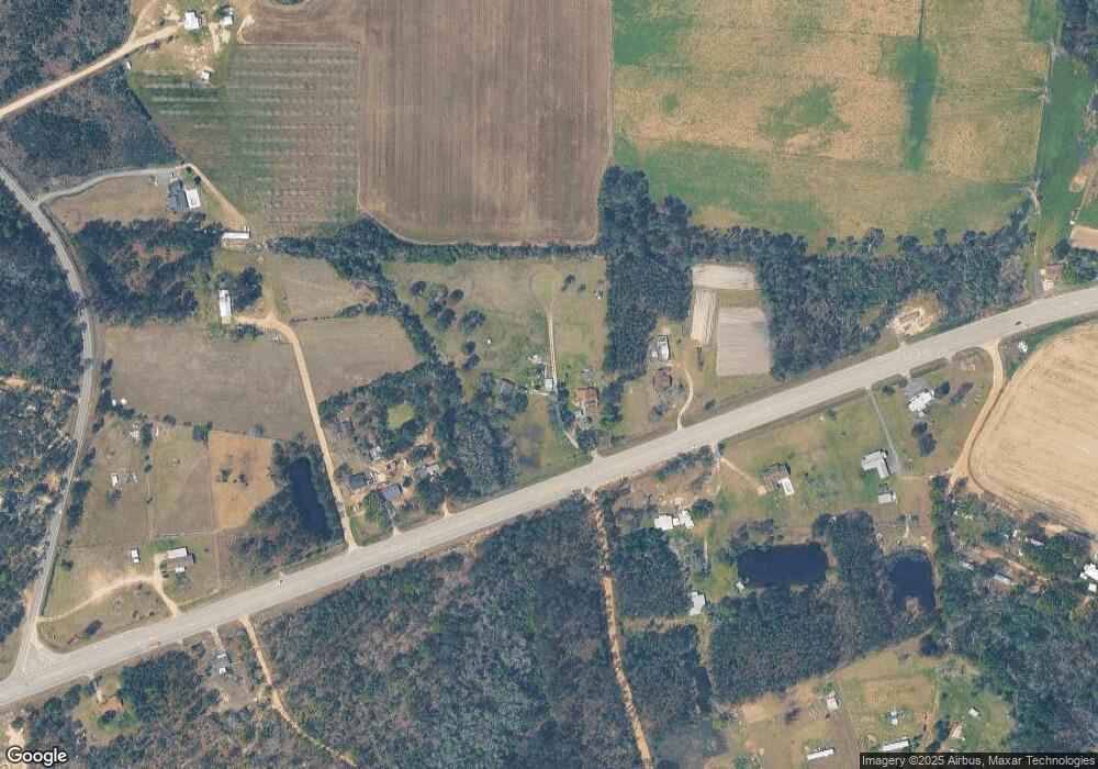
Map
Nearby Homes
- 9TH E 417
- 611 S Bead St
- 512 Bennett Still Hwy
- 907 N Pierce St
- 403 S Ware St
- 117 Grace Loop Unit 1
- 122 Grace Loop Unit 1
- 108 Daughtry Rd
- 702 N Church St
- 401 Lee St
- 606 W 7th St
- 701 Smallee St
- 813 W 12th St
- 311 Douglas St
- 1109 W 4th Street Extension
- 0 Lake Lure Dr
- 1348 U S 1
- 113 Brite Blue Dr
- 166 Grace Loop Unit 1
- 198 Meadow Rd
- 1020 Ga Highway 32 E
- 1055 Ga Highway 32 E
- 1047 Ga Highway 32 E
- 115 Finch Ln
- 1016 Ga Highway 32 E
- 1069 Ga Highway 32 E
- 120 Finch Ln
- 110 Watermelon Way
- 114 Hilltop Trail
- 126 Watermelon Way
- 111 Watermelon Way
- 168 Bennett Still Hwy
- 975 Ga Highway 32 E
- 991 E Ga Hwy
- 1096 Ga Highway 32 E
- 122 Bennett Still Hwy
- 162 Carnation Rd
- 126 Bennett Still Hwy
- 1108 Ga Highway 32 E
- 128 Chicken Ln
Your Personal Tour Guide
Ask me questions while you tour the home.