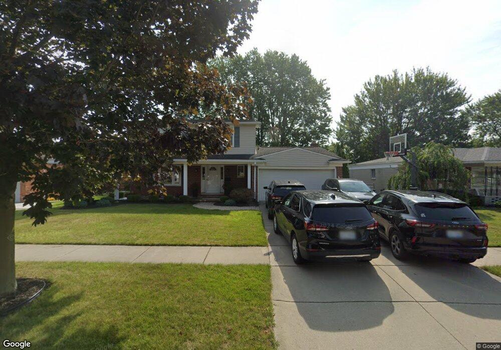
10407 Michael St Taylor, MI 48180
Estimated Value: $249,478 - $331,000
About This Home
This home is located at 10407 Michael St, Taylor, MI 48180 and is currently estimated at $292,870, approximately $167 per square foot. 10407 Michael St is a home located in Wayne County with nearby schools including Holland Elementary School, Hoover Middle School, and Taylor High School.
Ownership History
We collect this data history from publicly available records. To have your information removed, we recommend requesting removal directly through your county’s website.
Purchase Details
Home Financials for this Owner
Home Financials are based on the most recent Mortgage that was taken out on this home.Purchase Details
Home Values in the Area
Average Home Value in this Area
Purchase History
We collect this data history from publicly available records. To have your information removed, we recommend requesting removal directly through your county’s website.
| Date | Buyer | Sale Price | Title Company |
|---|---|---|---|
| -- | Peoples First Title Agency L | ||
| $150,000 | -- |
Mortgage History
We collect this data history from publicly available records. To have your information removed, we recommend requesting removal directly through your county’s website.
| Date | Status | Borrower | Loan Amount |
|---|---|---|---|
| Open | $129,700 |
Tax History
We collect this data history from publicly available records. To have your information removed, we recommend requesting removal directly through your county’s website.
| Year | Tax Paid | Tax Assessment Tax Assessment Total Assessment is a certain percentage of the fair market value that is determined by local assessors to be the total taxable value of land and additions on the property. | Land | Improvement |
|---|---|---|---|---|
| 2025 | $2,641 | $128,400 | $0 | $0 |
| 2024 | $2,557 | $124,200 | $0 | $0 |
| 2023 | $3,078 | $108,300 | $0 | $0 |
| 2022 | $2,440 | $98,000 | $0 | $0 |
| 2021 | $2,709 | $89,700 | $0 | $0 |
| 2020 | $2,685 | $81,600 | $0 | $0 |
| 2019 | $268,690 | $74,200 | $0 | $0 |
| 2018 | $2,096 | $63,100 | $0 | $0 |
| 2017 | $1,197 | $60,700 | $0 | $0 |
| 2016 | $2,619 | $58,900 | $0 | $0 |
| 2015 | $4,735 | $53,600 | $0 | $0 |
| 2013 | $4,720 | $49,000 | $0 | $0 |
| 2012 | $2,080 | $47,800 | $14,000 | $33,800 |
Map
- 25100 Melody St
- 10330 Westlake St
- 24892 Melody Ln
- 25186 Anna St
- 25168 Goddard Rd
- 25315 Baker St
- 24700 Goddard Rd
- 0 Goddard Unit 20251010304
- 25505 Wick Rd
- 9981 Telegraph Rd
- 26336 Kinyon St
- 9447 Continental Dr
- 000 Pine Lot A St
- 000 Pine Lot B St
- Telegraph Telegraph Rd
- 26165 Partridge Dr Unit 79
- 26376 Partridge Dr Unit 89
- 26400 Partridge Dr Unit 88
- 9792 Cornell St
- 11098 Partridge Dr
- 10387 Michael St
- 10444 Cherokee St
- 0000 Cherokee St
- 10375 Michael St
- 10431 Michael St
- 10420 Cherokee St
- 25151 Kensington St
- 10396 Cherokee St
- 10363 Michael St
- 10404 Michael St
- 10416 Michael St
- 10382 Michael St
- 25152 Melody St
- 10428 Michael St
- 25140 Melody St
- 10372 Cherokee St
- 10370 Michael St
- 25128 Melody St
- 10351 Michael St
- 25139 Kensington St
Ask me questions while you tour the home.