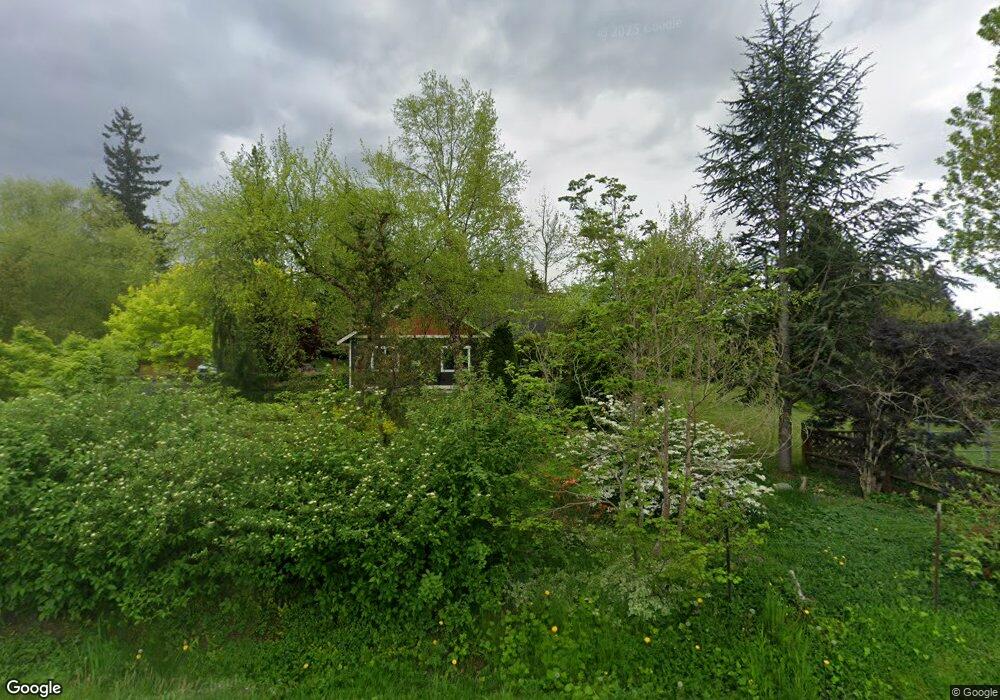
1041 Ross Rd Bellingham, WA 98226
Estimated Value: $882,834 - $959,000
3
Beds
2
Baths
2,000
Sq Ft
$461/Sq Ft
Est. Value
About This Home
This home is located at 1041 Ross Rd, Bellingham, WA 98226 and is currently estimated at $921,959, approximately $460 per square foot. 1041 Ross Rd is a home located in Whatcom County with nearby schools including Northern Heights Elementary School, Shuksan Middle School, and Squalicum High School.
Ownership History
Date
Name
Owned For
Owner Type
Purchase Details
Closed on
Sep 16, 2021
Sold by
Reguvbal Paul T and Reguvbal Beverly
Bought by
Charrier Dylan and Regimibal Caryn
Current Estimated Value
Home Financials for this Owner
Home Financials are based on the most recent Mortgage that was taken out on this home.
Original Mortgage
$480,000
Outstanding Balance
$351,503
Interest Rate
2.1%
Mortgage Type
New Conventional
Estimated Equity
$570,456
Purchase Details
Closed on
Jul 25, 2011
Sold by
Mcdonald Steven L and Mcdonald Shanna
Bought by
Charrier Dylan and Regimbal Caryn
Home Financials for this Owner
Home Financials are based on the most recent Mortgage that was taken out on this home.
Original Mortgage
$267,930
Interest Rate
4.25%
Mortgage Type
FHA
Purchase Details
Closed on
Jun 24, 2003
Sold by
Severson Joanne M
Bought by
Mcdonald Steven L and Mcdonald Shanna
Home Financials for this Owner
Home Financials are based on the most recent Mortgage that was taken out on this home.
Original Mortgage
$140,000
Interest Rate
5.37%
Mortgage Type
Purchase Money Mortgage
Create a Home Valuation Report for This Property
The Home Valuation Report is an in-depth analysis detailing your home's value as well as a comparison with similar homes in the area
Purchase History
| Date | Buyer | Sale Price | Title Company |
|---|---|---|---|
| Charrier Dylan | -- | Whatcom Land Title | |
| Charrier Dylan | $313 | Whatcom Land Title | |
| Charrier Dylan | $275,180 | Chicago Title Insurance | |
| Mcdonald Steven L | $171,910 | First American Title Insuran |
Source: Public Records
Mortgage History
| Date | Status | Borrower | Loan Amount |
|---|---|---|---|
| Open | Charrier Dylan | $480,000 | |
| Previous Owner | Charrier Dylan | $267,930 | |
| Previous Owner | Mcdonald Steven L | $140,000 |
Source: Public Records
Tax History
| Year | Tax Paid | Tax Assessment Tax Assessment Total Assessment is a certain percentage of the fair market value that is determined by local assessors to be the total taxable value of land and additions on the property. | Land | Improvement |
|---|---|---|---|---|
| 2025 | $6,525 | $745,548 | $183,550 | $561,998 |
| 2024 | $6,381 | $723,817 | $178,200 | $545,617 |
| 2023 | $6,381 | $755,652 | $186,038 | $569,614 |
| 2022 | $5,063 | $614,351 | $151,250 | $463,101 |
| 2021 | $4,835 | $507,728 | $125,000 | $382,728 |
| 2020 | $4,718 | $455,847 | $140,193 | $315,654 |
| 2019 | $3,572 | $425,887 | $131,085 | $294,802 |
| 2018 | $3,703 | $324,478 | $117,585 | $206,893 |
| 2017 | $3,227 | $287,101 | $104,040 | $183,061 |
| 2016 | $2,982 | $260,933 | $94,680 | $166,253 |
| 2015 | $2,730 | $248,563 | $90,000 | $158,563 |
| 2014 | -- | $0 | $0 | $0 |
| 2013 | -- | $0 | $0 | $0 |
Source: Public Records
Map
Nearby Homes
- 0 E Bakerview Rd Unit NWM2398341
- 3817 E Sunset Dr
- 3100 Mount Baker Hwy
- 4160 Hannegan Rd
- 4139 Track St
- 3001 E Sunset Dr
- 3010 E Sunset Dr
- 3713 Bristol St
- 1421 Mount Baker Hwy
- 1445 Mt Baker Hwy
- 4489 Hannegan Rd
- 3649 Westhills Place
- 1356 Welling Rd
- 3618 Westhills Place
- 4220 Stonecrest Ct
- 4268 Stonecrest Ct
- 4125 Stonecrest Ln
- 1385 E Mcleod Rd
- 4045 Irongate Rd
- 1985 Alpine Way Unit 12
Your Personal Tour Guide
Ask me questions while you tour the home.