1043 Carson Ln Unit 63 Springfield, OH 45503
Estimated Value: $196,700 - $201,000
2
Beds
2
Baths
1,300
Sq Ft
$153/Sq Ft
Est. Value
About This Home
This home is located at 1043 Carson Ln Unit 63, Springfield, OH 45503 and is currently estimated at $199,175, approximately $153 per square foot. 1043 Carson Ln Unit 63 is a home located in Clark County with nearby schools including Northridge Elementary School, Kenton Ridge Middle & High School, and Emmanuel Christian Academy.
Ownership History
Date
Name
Owned For
Owner Type
Purchase Details
Closed on
Jun 4, 2020
Sold by
Willis Dawn R and Estate Of Bonnie E Mcdonald
Bought by
Mariano William C and Mariano Rachel M
Current Estimated Value
Purchase Details
Closed on
Mar 5, 2020
Sold by
Estate Of Mary L Mcdonald
Bought by
Mcdonald Bonnie E
Purchase Details
Closed on
Aug 28, 2010
Sold by
Lewis Barbara and Lewis James
Bought by
Mcdonald Helen C and Mcdonald Mary
Purchase Details
Closed on
Aug 27, 2010
Sold by
Wise Roger and Wise Sue
Bought by
Mcdonald Helen C and Mcdonald Mary
Purchase Details
Closed on
Aug 26, 2010
Sold by
Harris Wise M Marcella and Wise James E
Bought by
Lewis Barbara and Jeter Carol
Purchase Details
Closed on
Aug 25, 2010
Sold by
Jeter Carol and Jeter Alvah
Bought by
Mcdonald Helen C and Mcdonald Mary
Create a Home Valuation Report for This Property
The Home Valuation Report is an in-depth analysis detailing your home's value as well as a comparison with similar homes in the area
Home Values in the Area
Average Home Value in this Area
Purchase History
| Date | Buyer | Sale Price | Title Company |
|---|---|---|---|
| Mariano William C | $110,000 | Midland Title West Llc | |
| Mcdonald Bonnie E | -- | None Available | |
| Mcdonald Helen C | $28,400 | Attorney | |
| Mcdonald Helen C | $28,400 | Attorney | |
| Lewis Barbara | -- | None Available | |
| Mcdonald Helen C | $28,400 | Attorney |
Source: Public Records
Tax History
| Year | Tax Paid | Tax Assessment Tax Assessment Total Assessment is a certain percentage of the fair market value that is determined by local assessors to be the total taxable value of land and additions on the property. | Land | Improvement |
|---|---|---|---|---|
| 2025 | $1,246 | $53,260 | $7,350 | $45,910 |
| 2024 | $1,230 | $39,170 | $6,300 | $32,870 |
| 2023 | $1,230 | $39,170 | $6,300 | $32,870 |
| 2022 | $1,252 | $39,170 | $6,300 | $32,870 |
| 2021 | $1,879 | $38,300 | $5,250 | $33,050 |
| 2020 | $1,881 | $38,300 | $5,250 | $33,050 |
| 2019 | $1,453 | $38,300 | $5,250 | $33,050 |
| 2018 | $1,114 | $30,740 | $5,570 | $25,170 |
| 2017 | $947 | $30,072 | $5,565 | $24,507 |
| 2016 | $940 | $30,072 | $5,565 | $24,507 |
| 2015 | $419 | $29,757 | $5,250 | $24,507 |
| 2014 | $419 | $29,757 | $5,250 | $24,507 |
| 2013 | $419 | $29,757 | $5,250 | $24,507 |
Source: Public Records
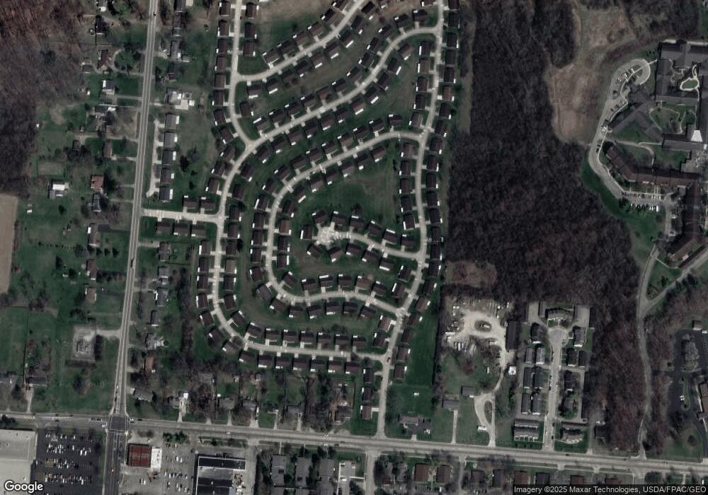
Map
Nearby Homes
- 1139 Bradford Dr
- 1039 Bradford Dr Unit 42
- 3052 Brixton Dr E
- 1136 Foxboro Rd Unit 202
- 3124 El Camino Dr
- 1525 Providence Ave
- 3135 Imperial Blvd
- 1201 Kingsgate Rd
- 3631 Kingsgate Ln
- 1162 Kingsgate Rd
- 1500 Kingsgate Rd Unit 19430
- 1502 Kingsgate Rd Unit 19432
- 1500 Kingsgate Rd
- 1502 Kingsgate Rd
- 1404 Attleboro Ave
- 2943 Tarryton Ln
- 1503 Kingsgate Rd
- 1507 Kingsgate Rd
- 1505 Kingsgate Rd
- 2022 Westboro Ave
- 1045 Carson Ln Unit 62
- 1039 Carson Ln Unit 64
- 1042 Carson Ln Unit 69
- 1042 Carson Ln
- 1044 Carson Ln
- 1044 Carson Ln
- 1042 Bradford Dr
- 1044 Bradford Dr Unit 57
- 1047 Carson Ln Unit 61
- 1047 Carson Ln
- 1047 Carson Ln
- 1047 Carson Ln
- 1046 Carson Ln Unit 71
- 1037 Carson Ln Unit 65
- 1037 Carson Ln Unit XX
- 1040 Bradford Dr
- 1038 Carson Ln
- 1038 Carson Ln Unit 67
- 1046 Bradford Dr
- 1036 Carson Ln
Your Personal Tour Guide
Ask me questions while you tour the home.