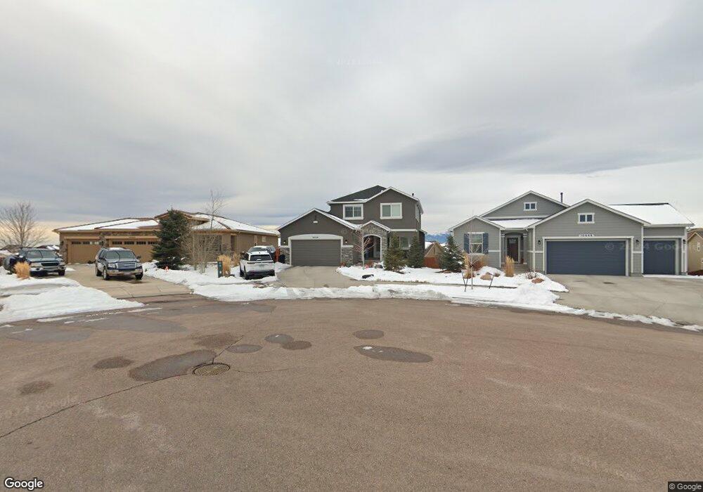
10434 Mt Emerald Dr Peyton, CO 80831
Falcon NeighborhoodEstimated Value: $538,835 - $626,000
4
Beds
4
Baths
2,105
Sq Ft
$273/Sq Ft
Est. Value
About This Home
This home is located at 10434 Mt Emerald Dr, Peyton, CO 80831 and is currently estimated at $575,709, approximately $273 per square foot. 10434 Mt Emerald Dr is a home with nearby schools including Meridian Ranch Elementary School, Falcon Middle School, and Falcon High School.
Ownership History
Date
Name
Owned For
Owner Type
Purchase Details
Closed on
Dec 10, 2018
Sold by
Campbell Homes Llc
Bought by
Mudrock Jason and Mudrock Danielle J
Current Estimated Value
Home Financials for this Owner
Home Financials are based on the most recent Mortgage that was taken out on this home.
Original Mortgage
$354,962
Outstanding Balance
$312,729
Interest Rate
4.8%
Mortgage Type
New Conventional
Estimated Equity
$262,980
Create a Home Valuation Report for This Property
The Home Valuation Report is an in-depth analysis detailing your home's value as well as a comparison with similar homes in the area
Home Values in the Area
Average Home Value in this Area
Purchase History
| Date | Buyer | Sale Price | Title Company |
|---|---|---|---|
| Mudrock Jason | $443,700 | Empire Title Colorado Spring |
Source: Public Records
Mortgage History
| Date | Status | Borrower | Loan Amount |
|---|---|---|---|
| Open | Mudrock Jason | $354,962 |
Source: Public Records
Tax History
| Year | Tax Paid | Tax Assessment Tax Assessment Total Assessment is a certain percentage of the fair market value that is determined by local assessors to be the total taxable value of land and additions on the property. | Land | Improvement |
|---|---|---|---|---|
| 2025 | $3,701 | $38,700 | -- | -- |
| 2024 | $3,571 | $39,850 | $6,420 | $33,430 |
| 2022 | $3,073 | $30,450 | $5,020 | $25,430 |
| 2021 | $3,186 | $31,330 | $5,170 | $26,160 |
| 2020 | $3,379 | $30,810 | $4,680 | $26,130 |
| 2019 | $3,360 | $30,810 | $4,680 | $26,130 |
| 2018 | $1,902 | $17,260 | $17,260 | $0 |
| 2017 | $1,798 | $17,260 | $17,260 | $0 |
| 2016 | $1,076 | $10,570 | $10,570 | $0 |
| 2015 | $1,076 | $10,570 | $10,570 | $0 |
| 2014 | $433 | $4,200 | $4,200 | $0 |
Source: Public Records
Map
Nearby Homes
- 10367 Mount Evans Dr
- 12431 Mount Bross Place
- 12432 Mount Bross Place
- 10417 Mt Lincoln Dr
- 10525 Mount Sherman Way
- 12686 Culebra Peak Dr
- 10102 Golf Crest Dr
- 12828 Stone Valley Dr
- 12590 Granite Springs Place
- 12985 Mt Harvard Dr
- 12803 Stone Valley Dr
- 12868 Stone Valley Dr
- 10089 Golf Crest Dr
- 10601 Rainbow Bridge Dr
- 12561 Mt Antero Dr
- 12534 Angelina Dr
- 10603 Ross Lake Dr
- 10704 Shavano Peak Ct
- 10135 Kings Canyon Dr
- 9957 Golf Crest Dr
- 10446 Mt Emerald Dr
- 10422 Mt Emerald Dr
- 10467 Mount Evans Dr
- 10477 Mount Evans Dr
- 10487 Mount Evans Dr
- 10457 Mount Evans Dr
- 10410 Mt Emerald Dr
- 10470 Mount Emerald Dr
- 10497 Mount Evans Dr
- 10447 Mount Evans Dr
- 10445 Mt Emerald Dr
- 10433 Mt Emerald Dr
- 10482 Mt Emerald Dr
- 10421 Mt Emerald Dr
- 10457 Mt Emerald Dr
- 10507 Mount Evans Dr
- 10437 Mount Evans Dr
- 12588 Mount Belford Way
- 10469 Mt Emerald Dr
- 10494 Mount Emerald Dr
Your Personal Tour Guide
Ask me questions while you tour the home.