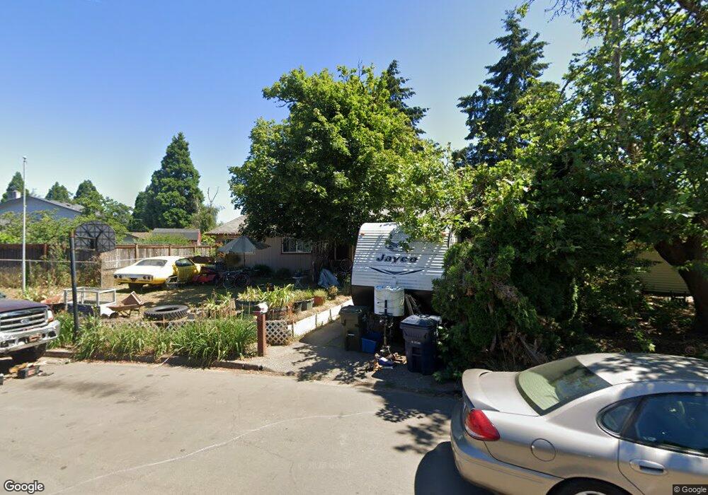
1045 Dondea St Springfield, OR 97478
East Springfield NeighborhoodEstimated Value: $347,488 - $383,000
3
Beds
1
Bath
1,060
Sq Ft
$344/Sq Ft
Est. Value
About This Home
This home is located at 1045 Dondea St, Springfield, OR 97478 and is currently estimated at $364,372, approximately $343 per square foot. 1045 Dondea St is a home located in Lane County with nearby schools including Douglas Gardens Elementary School, Agnes Stewart Middle School, and Springfield High School.
Ownership History
Date
Name
Owned For
Owner Type
Purchase Details
Closed on
Jan 15, 2018
Sold by
Barneburg Kathleen A
Bought by
Barneburg Cody L and Barneburg Stephanie M
Current Estimated Value
Purchase Details
Closed on
Jul 28, 2016
Sold by
Barneburg Kathleen A
Bought by
Barneburg L Cody
Create a Home Valuation Report for This Property
The Home Valuation Report is an in-depth analysis detailing your home's value as well as a comparison with similar homes in the area
Home Values in the Area
Average Home Value in this Area
Purchase History
| Date | Buyer | Sale Price | Title Company |
|---|---|---|---|
| Barneburg Cody L | $1,000 | None Listed On Document | |
| Barneburg L Cody | -- | None Available |
Source: Public Records
Tax History
| Year | Tax Paid | Tax Assessment Tax Assessment Total Assessment is a certain percentage of the fair market value that is determined by local assessors to be the total taxable value of land and additions on the property. | Land | Improvement |
|---|---|---|---|---|
| 2025 | $2,372 | $170,162 | -- | -- |
| 2024 | $2,308 | $165,206 | -- | -- |
| 2023 | $2,308 | $160,395 | -- | -- |
| 2022 | $2,195 | $155,724 | $0 | $0 |
| 2021 | $2,149 | $151,189 | $0 | $0 |
| 2020 | $2,086 | $146,786 | $0 | $0 |
| 2019 | $2,013 | $142,511 | $0 | $0 |
| 2018 | $1,949 | $134,331 | $0 | $0 |
| 2017 | $1,884 | $134,331 | $0 | $0 |
| 2016 | $1,835 | $130,418 | $0 | $0 |
| 2015 | $1,785 | $126,619 | $0 | $0 |
| 2014 | $1,734 | $122,931 | $0 | $0 |
Source: Public Records
Map
Nearby Homes
- 919 S 37th Place
- 3266 Mountain Creek Ln
- 3291 Osage St
- 1076 S 40th Place
- 4155 Stellar Way
- 1264 S 41st Place
- 4005 S F St
- 3720 Virginia Ave
- 455 S 38th St
- 370 S 38th St
- 4131 Forsythia St
- 3503 Oregon Ave
- 345 S 38th St
- 875 S 43rd St
- 4358 Kalmia St
- 955 S 44th St
- 4452 Jessica Dr
- 154 37th St
- 186 40th St
- 207 35th St
- 1033 Dondea St
- 1057 Dondea St
- 1048 Laurel Ave
- 1036 Laurel Ave
- 1027 Dondea St
- 1060 Laurel Ave
- 1024 Laurel Ave
- 1097 Dondea St
- 1072 Laurel Ave
- 1069 Dondea St
- 1011 Dondea St
- 1071 Dondea St
- 1088 Dondea St
- 1012 Laurel Ave
- 1139 Dondea St
- 1085 Dondea St
- 1071 Laurel Ave
- 1102 Dondea St
- 1084 Laurel Ave
- 1059 Laurel Ave
Your Personal Tour Guide
Ask me questions while you tour the home.