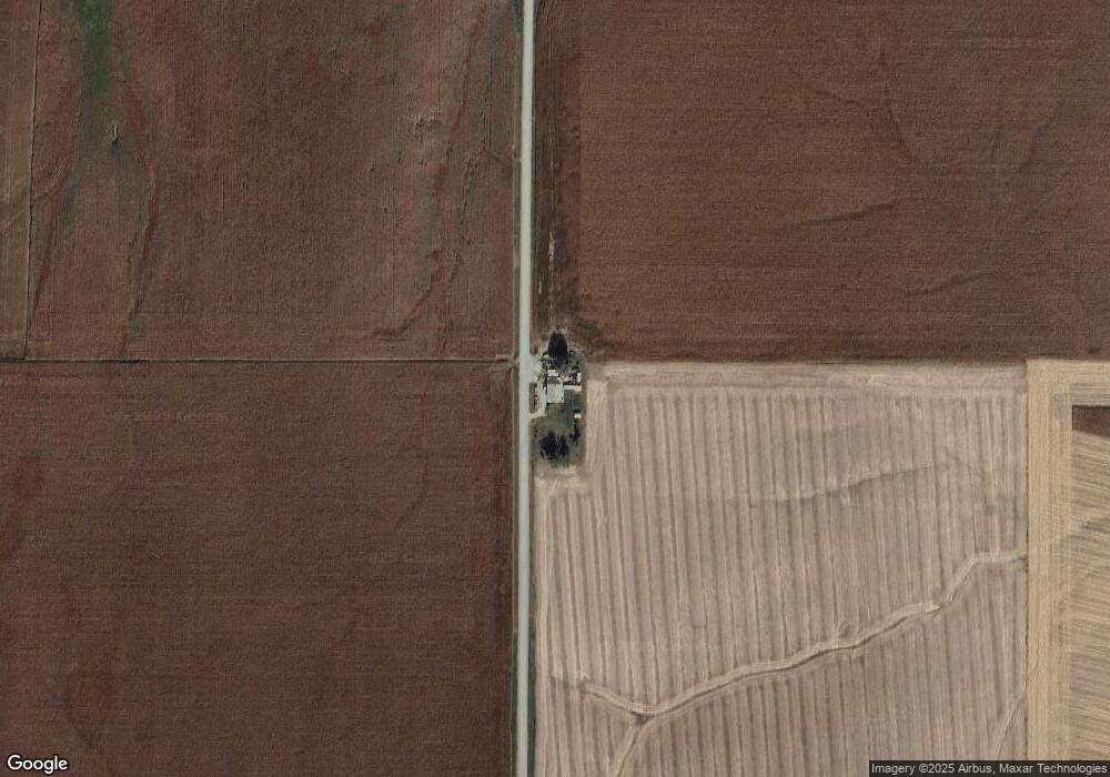
1046 20th Rd West Point, NE 68788
Estimated Value: $191,000 - $369,000
Studio
2
Baths
2,023
Sq Ft
$121/Sq Ft
Est. Value
About This Home
This home is located at 1046 20th Rd, West Point, NE 68788 and is currently estimated at $243,849, approximately $120 per square foot. 1046 20th Rd is a home located in Cuming County with nearby schools including West Point-Beemer Junior/Senior High School.
Create a Home Valuation Report for This Property
The Home Valuation Report is an in-depth analysis detailing your home's value as well as a comparison with similar homes in the area
Tax History
| Year | Tax Paid | Tax Assessment Tax Assessment Total Assessment is a certain percentage of the fair market value that is determined by local assessors to be the total taxable value of land and additions on the property. | Land | Improvement |
|---|---|---|---|---|
| 2025 | $760 | $141,365 | $27,300 | $114,065 |
| 2024 | $785 | $128,660 | $27,300 | $101,360 |
| 2023 | $1,100 | $121,565 | $25,480 | $96,085 |
| 2022 | $977 | $98,650 | $15,015 | $83,635 |
| 2021 | $800 | $79,890 | $15,015 | $64,875 |
| 2020 | $686 | $69,465 | $15,015 | $54,450 |
| 2019 | $642 | $63,820 | $15,015 | $48,805 |
| 2018 | $657 | $66,095 | $17,290 | $48,805 |
| 2017 | $619 | $60,110 | $15,000 | $45,110 |
| 2016 | $604 | $56,410 | $15,000 | $41,410 |
| 2015 | $648 | $55,410 | $14,000 | $41,410 |
| 2014 | $698 | $52,090 | $13,000 | $39,090 |
| 2013 | $698 | $48,305 | $10,000 | $38,305 |
Source: Public Records
Map
Nearby Homes
Your Personal Tour Guide
Ask me questions while you tour the home.