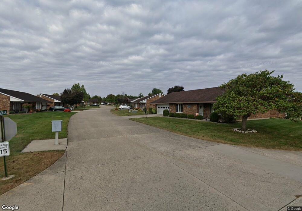
1046 Carson Ln Unit 71 Springfield, OH 45503
Estimated Value: $147,000 - $200,000
2
Beds
2
Baths
1,300
Sq Ft
$142/Sq Ft
Est. Value
About This Home
This home is located at 1046 Carson Ln Unit 71, Springfield, OH 45503 and is currently estimated at $185,168, approximately $142 per square foot. 1046 Carson Ln Unit 71 is a home located in Clark County with nearby schools including Northridge Elementary School, Kenton Ridge Middle & High School, and Ridgewood School.
Ownership History
Date
Name
Owned For
Owner Type
Purchase Details
Closed on
Jun 27, 2016
Sold by
Maute David A and Maute Nancy L
Bought by
Bodey Todd L
Current Estimated Value
Purchase Details
Closed on
Nov 13, 2000
Sold by
Roberts Richard D
Bought by
Gossett Robert F and Gossett Betty M
Purchase Details
Closed on
Nov 6, 2000
Sold by
Roberts Richard D and Roberts Maxine L
Bought by
Roberts Richard D
Create a Home Valuation Report for This Property
The Home Valuation Report is an in-depth analysis detailing your home's value as well as a comparison with similar homes in the area
Home Values in the Area
Average Home Value in this Area
Purchase History
| Date | Buyer | Sale Price | Title Company |
|---|---|---|---|
| Bodey Todd L | $92,000 | None Available | |
| Gossett Robert F | $97,500 | -- | |
| Roberts Richard D | -- | -- |
Source: Public Records
Tax History
| Year | Tax Paid | Tax Assessment Tax Assessment Total Assessment is a certain percentage of the fair market value that is determined by local assessors to be the total taxable value of land and additions on the property. | Land | Improvement |
|---|---|---|---|---|
| 2025 | $1,724 | $53,990 | $7,350 | $46,640 |
| 2024 | $1,667 | $39,760 | $6,300 | $33,460 |
| 2023 | $1,667 | $39,760 | $6,300 | $33,460 |
| 2022 | $1,673 | $39,760 | $6,300 | $33,460 |
| 2021 | $1,903 | $38,790 | $5,250 | $33,540 |
| 2020 | $1,905 | $38,790 | $5,250 | $33,540 |
| 2019 | $1,917 | $38,260 | $5,250 | $33,010 |
| 2018 | $1,601 | $30,880 | $5,570 | $25,310 |
| 2017 | $1,367 | $30,209 | $5,565 | $24,644 |
| 2016 | $1,357 | $30,209 | $5,565 | $24,644 |
| 2015 | $1,267 | $29,894 | $5,250 | $24,644 |
| 2014 | $1,267 | $29,894 | $5,250 | $24,644 |
| 2013 | $1,264 | $29,894 | $5,250 | $24,644 |
Source: Public Records
Map
Nearby Homes
- 1139 Bradford Dr
- 3052 Brixton Dr E
- 1039 Bradford Dr Unit 42
- 1136 Foxboro Rd Unit 202
- 3631 Kingsgate Ln
- 1201 Kingsgate Rd
- 1500 Kingsgate Rd Unit 19430
- 1502 Kingsgate Rd Unit 19432
- 1500 Kingsgate Rd
- 1502 Kingsgate Rd
- 1525 Providence Ave
- 3124 El Camino Dr
- 1162 Kingsgate Rd
- 1507 Kingsgate Rd
- 1503 Kingsgate Rd
- 1505 Kingsgate Rd
- 2022 Westboro Ave
- 3135 Imperial Blvd
- 2943 Tarryton Ln
- 1404 Attleboro Ave
- 1044 Carson Ln
- 1044 Carson Ln
- 3037 Brixton Dr E Unit 172
- 1047 Carson Ln Unit 61
- 1047 Carson Ln
- 1047 Carson Ln
- 1047 Carson Ln
- 1045 Carson Ln Unit 62
- 1042 Carson Ln Unit 69
- 1042 Carson Ln
- 3039 Brixton Dr E Unit 171
- 1043 Carson Ln Unit 63
- 3029 Brixton Dr E Unit 60
- 3034 Brixton Dr E Unit 81
- 3034 Brixton Dr E
- 3032 Brixton Dr E Unit 3032
- 3032 Brixton Dr E Unit 73
- 3032 Brixton Dr E
- 3036 Brixton Dr E
- 3041 Brixton Dr E
Your Personal Tour Guide
Ask me questions while you tour the home.