10465 Abrams Fork Unit Bldg-Unit Brighton, MI 48114
Estimated Value: $489,000 - $528,000
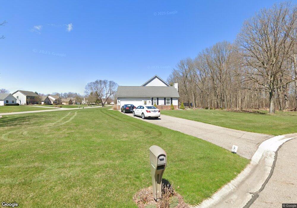
About This Home
This home is located at 10465 Abrams Fork Unit Bldg-Unit, Brighton, MI 48114 and is currently estimated at $507,214, approximately $214 per square foot. 10465 Abrams Fork Unit Bldg-Unit is a home located in Livingston County with nearby schools including Hartland High School, Maple Tree Montessori Academy, and Cornerstone Christian School.
Ownership History
We collect this data history from publicly available records. To have your information removed, we recommend requesting removal directly through your county’s website.
Purchase Details
Purchase Details
Home Financials for this Owner
Home Financials are based on the most recent Mortgage that was taken out on this home.Purchase Details
Home Values in the Area
Average Home Value in this Area
Purchase History
We collect this data history from publicly available records. To have your information removed, we recommend requesting removal directly through your county’s website.
| Date | Buyer | Sale Price | Title Company |
|---|---|---|---|
| $430,000 | Reputation First Title | ||
| $290,000 | New Title Company Name | ||
| $250,000 | Title Office |
Mortgage History
We collect this data history from publicly available records. To have your information removed, we recommend requesting removal directly through your county’s website.
| Date | Status | Borrower | Loan Amount |
|---|---|---|---|
| Previous Owner | $232,000 |
Tax History
We collect this data history from publicly available records. To have your information removed, we recommend requesting removal directly through your county’s website.
| Year | Tax Paid | Tax Assessment Tax Assessment Total Assessment is a certain percentage of the fair market value that is determined by local assessors to be the total taxable value of land and additions on the property. | Land | Improvement |
|---|---|---|---|---|
| 2025 | $2,892 | $225,700 | $0 | $0 |
| 2024 | $2,811 | $222,300 | $0 | $0 |
| 2023 | $2,686 | $200,300 | $0 | $0 |
| 2022 | $5,031 | $153,200 | $0 | $0 |
| 2021 | $5,031 | $163,200 | $0 | $0 |
| 2020 | $5,014 | $155,300 | $0 | $0 |
| 2019 | $4,683 | $153,200 | $0 | $0 |
| 2018 | $3,672 | $127,500 | $0 | $0 |
| 2017 | $3,105 | $127,500 | $0 | $0 |
| 2016 | $3,071 | $128,000 | $0 | $0 |
| 2014 | $2,587 | $125,120 | $0 | $0 |
| 2012 | $2,587 | $110,860 | $0 | $0 |
Map
- 10493 Spring Grove
- 10434 Sourwood Ct
- 10100 Abrams Fork
- 1889 Sharp Sand Cir
- 2457 Spring Lake Ln
- 10376 Rosemarie Run
- LOT 51 Rosemarie Run
- V/L Lot #2 Sweetheart Ln
- 9655 Birch Run
- 2550 S Hartun Dr
- 2901 School Lake Dr
- 10459 Hyne Rd
- 2702 Sligo Ln
- 2018 Pine Hollow Trail
- 00 VL Waterside
- 00 VL2 Waterside
- 3195 Sandpoint Dr
- 2484 Pine Hollow Trail
- 9523 Quail Ridge Run
- 3158 Eden Trail
- 10465 Abrams Fork
- 2283 Laurel Springs Unit Bldg-Unit
- 2283 Laurel Springs
- 10477 Abrams Fork
- 2259 Laurel Springs
- 10421 Abrams Fork
- 2286 Laurel Springs
- 10454 Abrams Fork
- 10480 Abrams Fork
- 2262 Laurel Springs
- 2235 Laurel Springs
- 10428 Abrams Fork
- 10402 Abrams Fork
- 2238 Laurel Springs
- 10369 Abrams Fork
- 2211 Laurel Springs Unit Bldg-Unit
- 2211 Laurel Springs
- 2289 Cumberland Dr
- 10376 Abrams Fork
- 2265 Cumberland Dr
Ask me questions while you tour the home.