10469 Territorial Rd Munith, MI 49259
Estimated Value: $357,000 - $445,000
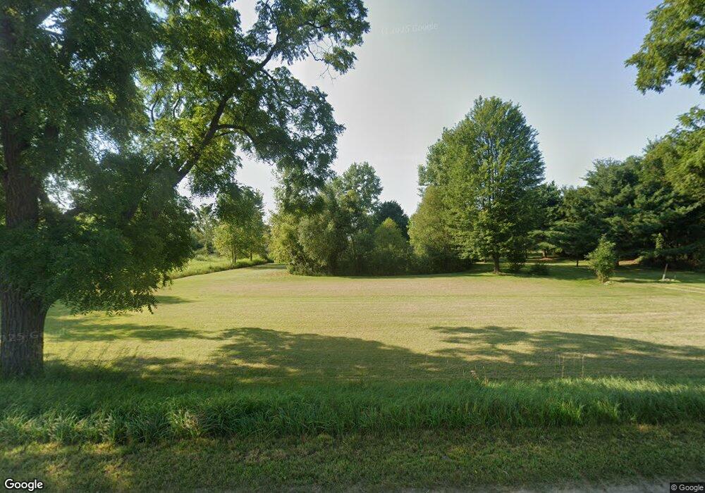
About This Home
This home is located at 10469 Territorial Rd, Munith, MI 49259 and is currently estimated at $391,006, approximately $200 per square foot. 10469 Territorial Rd is a home located in Jackson County with nearby schools including Emma Smith Elementary School, Heritage School, and Stockbridge High School.
Ownership History
We collect this data history from publicly available records. To have your information removed, we recommend requesting removal directly through your county’s website.
Purchase Details
Home Financials for this Owner
Home Financials are based on the most recent Mortgage that was taken out on this home.Purchase Details
Purchase History
We collect this data history from publicly available records. To have your information removed, we recommend requesting removal directly through your county’s website.
| Date | Buyer | Sale Price | Title Company |
|---|---|---|---|
| $174,000 | American Title Co | ||
| $174,000 | -- | ||
| $18,500 | -- |
Mortgage History
We collect this data history from publicly available records. To have your information removed, we recommend requesting removal directly through your county’s website.
| Date | Status | Borrower | Loan Amount |
|---|---|---|---|
| Open | $123,200 | ||
| Closed | $139,200 |
Tax History
We collect this data history from publicly available records. To have your information removed, we recommend requesting removal directly through your county’s website.
| Year | Tax Paid | Tax Assessment Tax Assessment Total Assessment is a certain percentage of the fair market value that is determined by local assessors to be the total taxable value of land and additions on the property. | Land | Improvement |
|---|---|---|---|---|
| 2026 | $1,140 | $186,000 | $0 | $0 |
| 2025 | $1,140 | $179,150 | $0 | $0 |
| 2024 | $11 | $169,700 | $0 | $0 |
| 2023 | $1,056 | $154,700 | $0 | $0 |
| 2022 | $2,676 | $131,750 | $0 | $0 |
| 2021 | $2,547 | $121,000 | $0 | $0 |
| 2020 | $2,515 | $110,500 | $0 | $0 |
| 2019 | $2,421 | $100,000 | $0 | $0 |
| 2018 | $2,366 | $94,750 | $0 | $0 |
| 2017 | $2,219 | $91,750 | $0 | $0 |
| 2016 | $897 | $88,400 | $88,400 | $0 |
| 2015 | $2,098 | $82,800 | $82,800 | $0 |
| 2014 | $2,098 | $78,400 | $78,400 | $0 |
| 2013 | -- | $78,400 | $78,400 | $0 |
Map
- 11516 Territorial Rd
- 12375 Musbach Rd
- 10202 Waterloo-Munith Rd
- 312 W 7th St
- 0000 Roberts Dr
- 10430 Coon Hill Rd
- 11329 Rosemary Ln
- 9682 Mount Hope Rd
- Parcel 8 Sayers Rd Rd
- Parcel 9 Sayers Rd Ave
- Parcel 1 Plum Orchard Ave
- Parcel 13 Sayers Rd Ave
- Parcel 10 Sayers Rd Ave
- Parcel 2 Plum Orchard Ave
- Parcel 11 Sayers Rd Ave
- Parcel 12 Sayers Rd Ave
- Parcel 3 Plum Orchard Ave
- Parcel 4 Plum Orchard Ave
- Parcel 7 Plum Orchard Ave
- 12459 Earl Rd
- 11955 Dewey Rd
- 10415 Territorial Rd
- 10460 Territorial Rd
- 10481 Territorial Rd
- 10448 Territorial Rd
- 12100 Dewey Rd
- 00 Territorial Rd
- 0 Territorial Rd
- 10493 Territorial Rd
- 10436 Territorial Rd
- 12187 Dewey Rd
- 10420 Territorial Rd
- 10476 Territorial Rd
- 10501 Territorial Rd
- 12199 Dewey Rd
- 10360 Territorial Rd
- 11337 Neu Rd
- 12230 Dewey Rd
- 10351 Territorial Rd
- 10881 Territorial Rd
Ask me questions while you tour the home.