10485 Porter Ln Athens, OH 45701
Estimated Value: $140,000 - $171,000
3
Beds
3
Baths
1,622
Sq Ft
$99/Sq Ft
Est. Value
About This Home
This home is located at 10485 Porter Ln, Athens, OH 45701 and is currently estimated at $160,333, approximately $98 per square foot. 10485 Porter Ln is a home located in Athens County with nearby schools including The Plains Elementary School, Athens Middle School, and Athens High School.
Ownership History
Date
Name
Owned For
Owner Type
Purchase Details
Closed on
Oct 15, 2014
Sold by
Us Bank Trust Na
Bought by
Jageman Brad
Current Estimated Value
Purchase Details
Closed on
Jun 27, 2014
Sold by
Carsey Thomas and Carsey Thomas E
Bought by
Us Bank Trust Na and Lsf8 Master Participation Trust
Purchase Details
Closed on
Apr 9, 1996
Sold by
Johnson Curtis
Bought by
Carsey Thomas
Purchase Details
Closed on
Jul 1, 1987
Create a Home Valuation Report for This Property
The Home Valuation Report is an in-depth analysis detailing your home's value as well as a comparison with similar homes in the area
Home Values in the Area
Average Home Value in this Area
Purchase History
| Date | Buyer | Sale Price | Title Company |
|---|---|---|---|
| Jageman Brad | $69,900 | First American | |
| Us Bank Trust Na | -- | None Available | |
| Carsey Thomas | $10,500 | -- | |
| -- | $8,500 | -- |
Source: Public Records
Tax History
| Year | Tax Paid | Tax Assessment Tax Assessment Total Assessment is a certain percentage of the fair market value that is determined by local assessors to be the total taxable value of land and additions on the property. | Land | Improvement |
|---|---|---|---|---|
| 2025 | $3,293 | $56,210 | $12,620 | $43,590 |
| 2024 | $3,265 | $56,210 | $12,620 | $43,590 |
| 2023 | $3,106 | $56,210 | $12,620 | $43,590 |
| 2022 | $2,692 | $46,050 | $10,680 | $35,370 |
| 2021 | $2,703 | $46,050 | $10,680 | $35,370 |
| 2020 | $2,551 | $46,050 | $10,680 | $35,370 |
| 2019 | $2,402 | $41,240 | $8,570 | $32,670 |
| 2018 | $2,203 | $38,970 | $8,570 | $30,400 |
| 2017 | $2,028 | $38,970 | $8,570 | $30,400 |
| 2016 | $2,038 | $38,000 | $7,790 | $30,210 |
| 2015 | $3,777 | $38,000 | $7,790 | $30,210 |
| 2014 | $3,777 | $38,000 | $7,790 | $30,210 |
| 2013 | $4,281 | $41,100 | $7,790 | $33,310 |
Source: Public Records
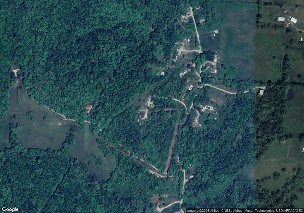
Map
Nearby Homes
- 9948 State Route 682
- 0 Edgewood Ct
- 7 W 2nd St
- 24 S Clinton
- 115 University Estates Blvd
- 0 University Estates Blvd Unit 2434604
- 0 Broadmoor Ct Unit 2434602
- 0 Broadmoor Ct Unit 2434603
- 11699 Channingway Blvd
- 4 Maple Grove Way
- 5 Maple Grove Way
- 7745 Lemaster Rd
- 36 Johnson Rd
- 26 N Clinton St
- 0 Lemaster Rd
- 11 Mound St
- 10 Rallen Dr
- 5910 Vore Ridge Rd
- 56.15/15.5 Central & Clark
- 9888 Salem Rd
- 7808 Smith Rd
- 10506 Porter Ln
- 10419 Porter Ln
- 10573 Porter Ln
- 10368 Porter Ln
- 7808 Smith Rd
- 10508 Porter Ln
- 10576 Porter Ln
- 10510 Porter Ln
- 10622 Porter Ln
- 10681 Porter Ln
- 10309 Porter Ln
- 10534 Porter Ln
- 7740 Smith Rd
- 10245 Porter Ln
- 10245 Porter Ln
- 10242 Porter Ln
- 10242 Porter Ln
- 10233 Porter Ln
- 10233 Porter Ln
Your Personal Tour Guide
Ask me questions while you tour the home.