Estimated Value: $338,000 - $371,000
3
Beds
2
Baths
1,680
Sq Ft
$209/Sq Ft
Est. Value
About This Home
This home is located at 105 First Point Rd, Many, LA 71449 and is currently estimated at $351,066, approximately $208 per square foot. 105 First Point Rd is a home located in Sabine Parish with nearby schools including Negreet High School.
Ownership History
Date
Name
Owned For
Owner Type
Purchase Details
Closed on
Oct 14, 2022
Sold by
Sant Investments Llc
Bought by
Patin Leonard and Patin Pamela
Current Estimated Value
Purchase Details
Closed on
Mar 11, 2022
Sold by
Daniel Sant
Bought by
Sant Investments Llc
Home Financials for this Owner
Home Financials are based on the most recent Mortgage that was taken out on this home.
Original Mortgage
$264,000
Interest Rate
3.85%
Mortgage Type
New Conventional
Purchase Details
Closed on
Sep 22, 2020
Sold by
Roberts Lewis W and Roberts Kelly R
Bought by
Sant Daniel and Rachal Lauren
Purchase Details
Closed on
Oct 31, 2008
Sold by
Hamilton James R
Bought by
Roberts Lewis W and Roberts Kelly R
Create a Home Valuation Report for This Property
The Home Valuation Report is an in-depth analysis detailing your home's value as well as a comparison with similar homes in the area
Purchase History
| Date | Buyer | Sale Price | Title Company |
|---|---|---|---|
| Patin Leonard | -- | -- | |
| Sant Investments Llc | -- | -- | |
| Sant Investments Llc | -- | None Listed On Document | |
| Sant Daniel | $95,000 | None Available | |
| Roberts Lewis W | $37,000 | None Available |
Source: Public Records
Mortgage History
| Date | Status | Borrower | Loan Amount |
|---|---|---|---|
| Previous Owner | Sant Investments Llc | $264,000 |
Source: Public Records
Tax History
| Year | Tax Paid | Tax Assessment Tax Assessment Total Assessment is a certain percentage of the fair market value that is determined by local assessors to be the total taxable value of land and additions on the property. | Land | Improvement |
|---|---|---|---|---|
| 2025 | $1,460 | $21,656 | $10,000 | $11,656 |
| 2024 | $1,319 | $21,656 | $10,000 | $11,656 |
| 2023 | $1,440 | $23,163 | $11,500 | $11,663 |
| 2022 | $715 | $11,500 | $11,500 | $0 |
| 2021 | $787 | $11,500 | $11,500 | $0 |
| 2020 | $788 | $11,500 | $11,500 | $0 |
| 2019 | $786 | $11,500 | $11,500 | $0 |
| 2018 | $196 | $2,850 | $2,850 | $0 |
| 2017 | $228 | $2,850 | $2,850 | $0 |
| 2016 | $233 | $2,850 | $2,850 | $0 |
| 2015 | $243 | $2,850 | $2,850 | $0 |
| 2014 | $242 | $2,850 | $2,850 | $0 |
Source: Public Records
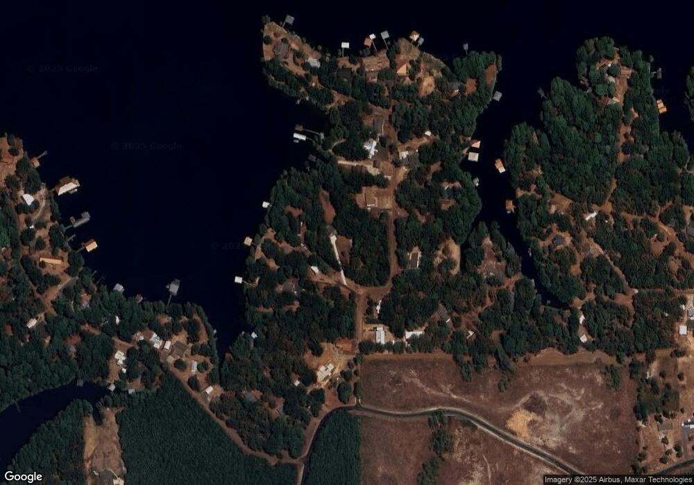
Map
Nearby Homes
- 99 First Point Rd
- 97 First Point Rd
- 91 First Point Rd
- 90 First Point Rd
- 231 First Point Rd
- 188 First Point Rd
- 204 First Point Rd
- 261 First Point Rd
- 261 1st Point Rd
- 60 First Point Rd
- 254 First Point Rd
- 254 First Point Rd
- 254 First Point Rd
- 240 First Point
- 59 Abe Dr
- 240 1st Point Rd
- 101 Abe Dr
- 158 Abe Dr
- 328 First Point Rd
- 30 Coleman St
Your Personal Tour Guide
Ask me questions while you tour the home.