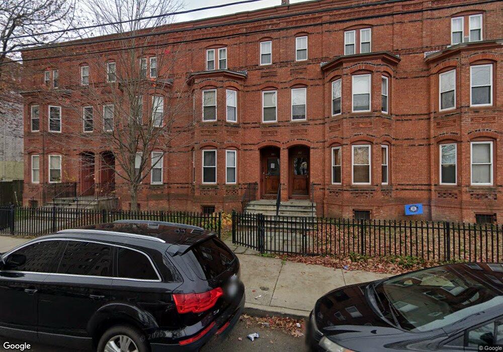
105 William St Unit A Bridgeport, CT 06608
East Side Bridgeport NeighborhoodEstimated Value: $77,000 - $95,000
1
Bed
1
Bath
582
Sq Ft
$152/Sq Ft
Est. Value
About This Home
This home is located at 105 William St Unit A, Bridgeport, CT 06608 and is currently estimated at $88,623, approximately $152 per square foot. 105 William St Unit A is a home located in Fairfield County with nearby schools including Waltersville School, Harding High School, and Capital Prep Harbor Upper School.
Ownership History
Date
Name
Owned For
Owner Type
Purchase Details
Closed on
Jul 9, 2013
Sold by
Benchmark Municipal Ta
Bought by
Wiesner Michael
Current Estimated Value
Purchase Details
Closed on
Apr 7, 2008
Sold by
William Street Condo L
Bought by
Owens Jason
Home Financials for this Owner
Home Financials are based on the most recent Mortgage that was taken out on this home.
Original Mortgage
$55,000
Interest Rate
6.06%
Create a Home Valuation Report for This Property
The Home Valuation Report is an in-depth analysis detailing your home's value as well as a comparison with similar homes in the area
Home Values in the Area
Average Home Value in this Area
Purchase History
We collect this data history from publicly available records. To have your information removed, we recommend requesting removal directly through your county’s website.
| Date | Buyer | Sale Price | Title Company |
|---|---|---|---|
| Wiesner Michael | $9,000 | -- | |
| Benchmark Municipal Ta | -- | -- | |
| Benchmark Municipal Ta | -- | -- | |
| Benchmark Municipal Ta | -- | -- | |
| Owens Jason | $55,000 | -- | |
| Owens Jason | $55,000 | -- |
Source: Public Records
Mortgage History
We collect this data history from publicly available records. To have your information removed, we recommend requesting removal directly through your county’s website.
| Date | Status | Borrower | Loan Amount |
|---|---|---|---|
| Previous Owner | Owens Jason | $55,000 |
Source: Public Records
Tax History
| Year | Tax Paid | Tax Assessment Tax Assessment Total Assessment is a certain percentage of the fair market value that is determined by local assessors to be the total taxable value of land and additions on the property. | Land | Improvement |
|---|---|---|---|---|
| 2025 | $1,497 | $34,450 | $0 | $34,450 |
| 2024 | $1,497 | $34,450 | $0 | $34,450 |
| 2023 | $1,497 | $34,450 | $0 | $34,450 |
| 2022 | $1,497 | $34,450 | $0 | $34,450 |
| 2021 | $1,497 | $34,450 | $0 | $34,450 |
| 2020 | $860 | $15,934 | $0 | $15,934 |
| 2019 | $860 | $15,934 | $0 | $15,934 |
| 2018 | $866 | $15,934 | $0 | $15,934 |
| 2017 | $1,155 | $21,250 | $0 | $21,250 |
| 2016 | $1,155 | $21,250 | $0 | $21,250 |
| 2015 | $1,441 | $34,150 | $0 | $34,150 |
| 2014 | $1,441 | $34,150 | $0 | $34,150 |
Source: Public Records
Map
Nearby Homes
- 99 William St Unit B
- 79 William St
- 349 Noble Ave Unit 355
- 584 Kossuth St
- 39 Jane St
- 196 Park St
- 667 Noble Ave
- 149 Shelton St Unit 151
- 274 Park St
- 236 Brooks St
- 26-28 Hayes St
- 369 Park St
- 60 Gilmore St Unit 21
- 57-59 Milne St
- 120 Milne St Unit 122
- 502 Berkshire Ave
- 118-120 Pequonnock St
- 1220 Pembroke St
- 100 Putnam St
- 1365 E Main St
- 99 William St Unit A
- 105 William St Unit B
- 87 William St
- 79 William St Unit 1
- 85 William St
- 85 William St Unit 2
- 111 William St Unit B
- 77 William St
- 77 William St Unit 1
- 115 William St Unit B
- 115 William St Unit A
- 93 William St
- 71 William St Unit 75
- 101 William St Unit B
- 101 William St Unit A
- 65 William St
- 107 William St Unit 107B
- 107 William St Unit B
- 107 William St Unit A
- 105 A Williams St
Your Personal Tour Guide
Ask me questions while you tour the home.