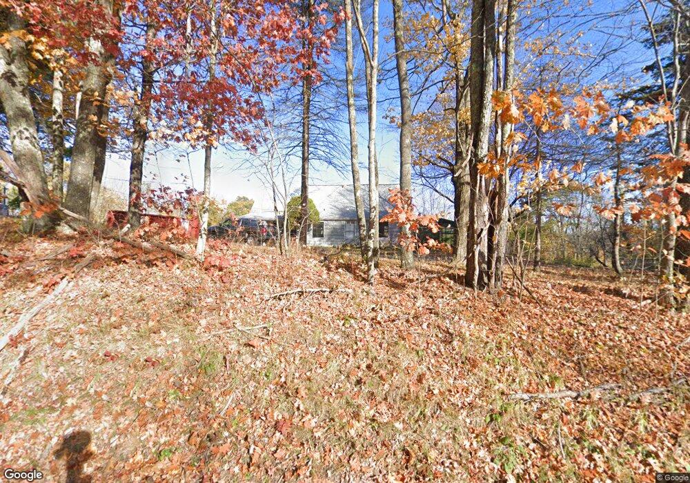
105 Worcester Rd Princeton, MA 01541
Estimated Value: $571,000 - $655,000
3
Beds
3
Baths
1,928
Sq Ft
$320/Sq Ft
Est. Value
About This Home
This home is located at 105 Worcester Rd, Princeton, MA 01541 and is currently estimated at $616,641, approximately $319 per square foot. 105 Worcester Rd is a home located in Worcester County with nearby schools including Wachusett Regional High School.
Ownership History
Date
Name
Owned For
Owner Type
Purchase Details
Closed on
Apr 29, 2019
Sold by
Jacobson Burton R Est
Bought by
Farrell Sean P and Farrell Sarah E
Current Estimated Value
Home Financials for this Owner
Home Financials are based on the most recent Mortgage that was taken out on this home.
Original Mortgage
$332,500
Outstanding Balance
$292,922
Interest Rate
4.3%
Mortgage Type
New Conventional
Estimated Equity
$323,719
Create a Home Valuation Report for This Property
The Home Valuation Report is an in-depth analysis detailing your home's value as well as a comparison with similar homes in the area
Home Values in the Area
Average Home Value in this Area
Purchase History
| Date | Buyer | Sale Price | Title Company |
|---|---|---|---|
| Farrell Sean P | $350,000 | -- |
Source: Public Records
Mortgage History
| Date | Status | Borrower | Loan Amount |
|---|---|---|---|
| Open | Farrell Sean P | $332,500 |
Source: Public Records
Tax History
| Year | Tax Paid | Tax Assessment Tax Assessment Total Assessment is a certain percentage of the fair market value that is determined by local assessors to be the total taxable value of land and additions on the property. | Land | Improvement |
|---|---|---|---|---|
| 2025 | $7,394 | $508,900 | $189,100 | $319,800 |
| 2024 | $6,903 | $492,000 | $186,300 | $305,700 |
| 2023 | $6,506 | $429,700 | $148,600 | $281,100 |
| 2022 | $6,274 | $400,100 | $148,600 | $251,500 |
| 2021 | $6,085 | $377,500 | $148,600 | $228,900 |
| 2020 | $5,632 | $355,300 | $174,500 | $180,800 |
| 2019 | $6,224 | $388,500 | $171,600 | $216,900 |
| 2018 | $6,103 | $353,200 | $152,900 | $200,300 |
| 2017 | $5,819 | $327,300 | $166,700 | $160,600 |
| 2016 | $5,826 | $327,300 | $166,700 | $160,600 |
| 2015 | $5,477 | $316,600 | $169,100 | $147,500 |
Source: Public Records
Map
Nearby Homes
- 340 Ball Hill Rd
- 56 Hubbardston Rd
- 89 Boulder Hill Rd
- 114 Mason Rd
- 279 Redemption Rock Trail
- 376 Elmwood Ave
- 93 Glenwood Place
- 39 Main St
- 139 E County Rd Unit 139
- 139 E County Rd Unit 141
- 8 Elmwood Ave
- 569 E County Rd
- Lots 4R/5R Bryant Rd
- 331 E County Rd
- Lot 1 Manning St
- 45 Old Colony Rd
- 1138 Wachusett St
- 186 Justice Hill Rd Unit Oakmont
- 186 Justice Hill Rd Unit Mod Farm
- 223 Justice Hill Rd
- 99 Worcester Rd
- 83 Worcester Rd
- 138 Worcester Rd
- 133 Worcester Rd
- 135 Worcester Rd
- 73 Worcester Rd
- 66 Worcester Rd
- 144 Worcester Rd
- 64 Worcester Rd
- 65 Worcester Rd
- 147 Worcester Rd
- 62 Worcester Rd
- 0 Worcester Rd
- 60 Worcester Rd
- 153 Worcester Rd
- 57 Worcester Rd
- 58 Worcester Rd
- 53 Worcester Rd
- L-46 Worcester Rd
- 46 Worcester Rd
Your Personal Tour Guide
Ask me questions while you tour the home.