1050 Mehring Way Unit 7 Cincinnati, OH 45203
About This Home
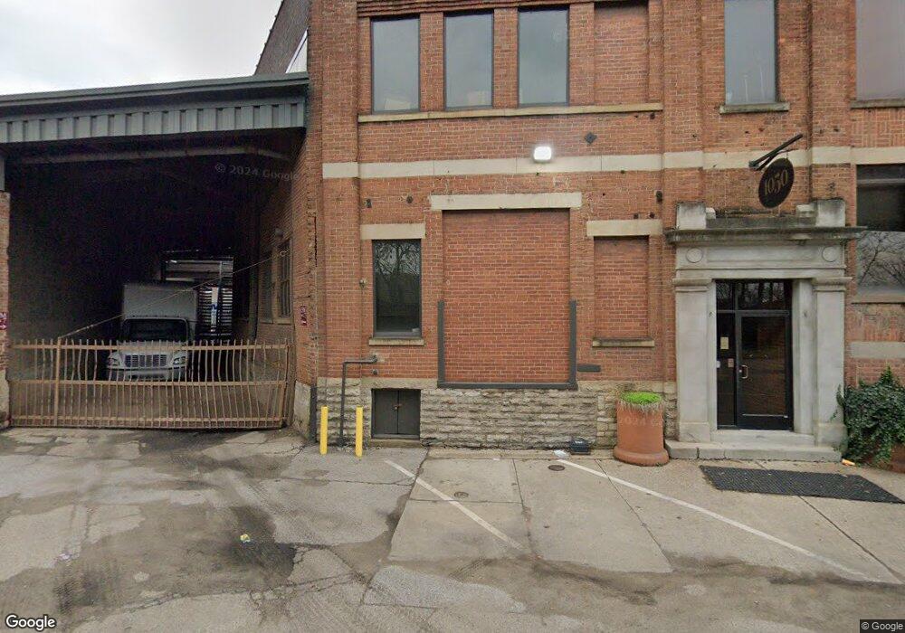
This home is located at 1050 Mehring Way Unit 7, Cincinnati, OH 45203. 1050 Mehring Way Unit 7 is a home located in Hamilton County with nearby schools including Hays-Porter School, Robert A. Taft Information Technology High School, and Gilbert A. Dater High School.
Ownership History
We collect this data history from publicly available records. To have your information removed, we recommend requesting removal directly through your county’s website.
Purchase Details
Home Financials for this Owner
Home Financials are based on the most recent Mortgage that was taken out on this home.Purchase History
We collect this data history from publicly available records. To have your information removed, we recommend requesting removal directly through your county’s website.
| Date | Buyer | Sale Price | Title Company |
|---|---|---|---|
| -- | -- |
Mortgage History
We collect this data history from publicly available records. To have your information removed, we recommend requesting removal directly through your county’s website.
| Date | Status | Borrower | Loan Amount |
|---|---|---|---|
| Closed | $250,614 |
Tax History
We collect this data history from publicly available records. To have your information removed, we recommend requesting removal directly through your county’s website.
| Year | Tax Paid | Tax Assessment Tax Assessment Total Assessment is a certain percentage of the fair market value that is determined by local assessors to be the total taxable value of land and additions on the property. | Land | Improvement |
|---|---|---|---|---|
| 2025 | $13,175 | $155,470 | $64,547 | $90,923 |
| 2023 | $13,055 | $155,470 | $64,547 | $90,923 |
| 2022 | $21,454 | $233,636 | $60,603 | $173,033 |
| 2021 | $20,991 | $233,636 | $60,603 | $173,033 |
| 2020 | $21,014 | $233,636 | $60,603 | $173,033 |
| 2019 | $21,881 | $224,652 | $58,272 | $166,380 |
| 2018 | $21,892 | $224,652 | $58,272 | $166,380 |
| 2017 | $21,191 | $224,652 | $58,272 | $166,380 |
| 2016 | $22,726 | $236,226 | $57,582 | $178,644 |
| 2015 | $20,893 | $236,226 | $57,582 | $178,644 |
| 2014 | $20,964 | $236,226 | $57,582 | $178,644 |
| 2013 | $22,344 | $251,304 | $61,257 | $190,047 |
Map
- 80 River Rd
- 103 River Rd
- 111 River Rd
- 55-65 River Rd
- 99 River Rd
- 109 River Rd
- 101 River Rd
- 90 River Rd
- 113 River Rd
- 105 River Rd
- 1399 Lexington St
- 319 Altamont Rd
- 323 Altamont Rd
- 353 Bond St
- 592 Station Dr Unit 42-300
- 588 Station Dr Unit 42-102
- 572 Station Dr Unit 41-300
- 608 Station Dr Unit 43-102
- 572 Station Dr
- 543 Station Dr
- 1050 Mehring Way Unit 2
- 1050 Mehring Way Unit 1
- 1050 Mehring Way Unit 6
- 1050 Mehring Way Unit 1
- 1020 Mehring Way Unit 1
- 551 Freeman Ave
- 996 W 5th St
- 542 Freeman Ave
- 536 Freeman Ave
- 538 Freeman Ave
- 614 Carr St
- 611 Freeman Ave
- A Budd St
- 1272 Mehring Way
- 1223 Budd St
- 0 River Rd
- 107 River Rd
- 1289 W 6th St
- 55-77 River Rd
- Lot 65 River Rd
Ask me questions while you tour the home.