Estimated Value: $294,000 - $410,000
Studio
--
Bath
2,473
Sq Ft
$136/Sq Ft
Est. Value
About This Home
This home is located at 1050 Wright Rd, Adel, GA 31620 and is currently estimated at $337,087, approximately $136 per square foot. 1050 Wright Rd is a home with nearby schools including Cook Primary School, Cook Elementary School, and Cook County Middle School.
Ownership History
Date
Name
Owned For
Owner Type
Purchase Details
Closed on
Aug 8, 2019
Sold by
Searcy Steve
Bought by
Betts Stephanie Leigh
Current Estimated Value
Purchase Details
Closed on
Sep 15, 2011
Sold by
Bell Joseph Anthony
Bought by
Searcy Steve and Searcy Betty
Create a Home Valuation Report for This Property
The Home Valuation Report is an in-depth analysis detailing your home's value as well as a comparison with similar homes in the area
Home Values in the Area
Average Home Value in this Area
Purchase History
| Date | Buyer | Sale Price | Title Company |
|---|---|---|---|
| Betts Stephanie Leigh | -- | -- | |
| Searcy Steve | $45,500 | -- |
Source: Public Records
Tax History
| Year | Tax Paid | Tax Assessment Tax Assessment Total Assessment is a certain percentage of the fair market value that is determined by local assessors to be the total taxable value of land and additions on the property. | Land | Improvement |
|---|---|---|---|---|
| 2025 | $2,331 | $112,234 | $12,942 | $99,292 |
| 2024 | $2,523 | $101,010 | $10,230 | $90,780 |
| 2023 | $2,222 | $89,843 | $10,230 | $79,613 |
| 2022 | $2,192 | $88,747 | $9,134 | $79,613 |
| 2021 | $1,981 | $76,154 | $9,134 | $67,020 |
| 2020 | $1,981 | $76,154 | $9,134 | $67,020 |
| 2019 | $2,079 | $79,486 | $12,466 | $67,020 |
| 2018 | $2,163 | $74,812 | $12,466 | $62,346 |
| 2017 | $2,108 | $74,812 | $12,466 | $62,346 |
| 2016 | $2,111 | $74,812 | $12,466 | $62,346 |
| 2015 | $2,115 | $74,812 | $12,466 | $62,346 |
| 2014 | $2,118 | $74,812 | $12,466 | $62,346 |
| 2013 | -- | $74,812 | $12,465 | $62,346 |
Source: Public Records
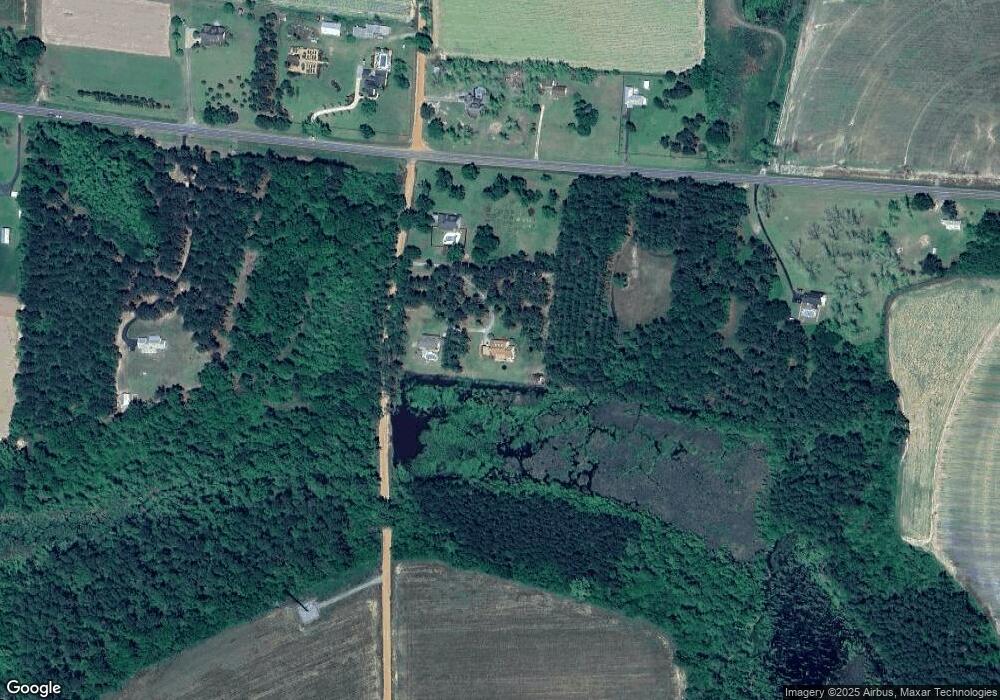
Map
Nearby Homes
- 515 John Keigans Memorial
- 91 Apple Ln
- 134 Brandy Ct
- 123 Westover Dr
- 103 Bryan St
- 801 Glendale St
- 703 N Elm St
- 421 Best Cir
- 11 Antioch Rd
- 5429 Georgia 76
- 729 W Seventh St
- 605 W 7th St
- 814 N Cleveland Ave
- 309 Wayne St
- 1607 Jimmy St
- 507 S Poplar St
- 526 E Mitchell St
- 411 S Hutchinson Ave
- 1002 Bear Creek Rd
- 211 S Gordon Ave
- 1030 Wright Rd
- 00 Wright Rd Adel
- 1090 Wright Rd Adel
- 32 Rountree McCranie Rd
- 2279 Highway 37
- 2339 Highway 37
- 19 Rountree McCranie Rd
- 2424 Highway 37
- 2060 Highway 37
- 2060 Georgia 37
- 2063 Highway 37
- 2538 Highway 37
- 2425 Highway 37
- 152 Pond Rd
- 1952 Highway 37
- 1840 Highway 37
- 870 Barton Rd
- 127 Barton Rd
- 369 Rountree McCranie Rd
- 1778 Highway 37
Your Personal Tour Guide
Ask me questions while you tour the home.