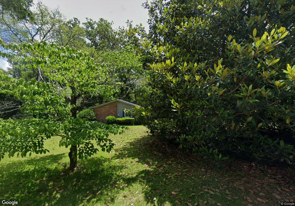
1051 Normandy Rd Macon, GA 31210
Estimated Value: $146,000 - $185,000
3
Beds
2
Baths
1,428
Sq Ft
$117/Sq Ft
Est. Value
About This Home
This home is located at 1051 Normandy Rd, Macon, GA 31210 and is currently estimated at $167,699, approximately $117 per square foot. 1051 Normandy Rd is a home located in Bibb County with nearby schools including Lane Elementary School, Howard Middle School, and Howard High School.
Ownership History
Date
Name
Owned For
Owner Type
Purchase Details
Closed on
Nov 17, 2005
Sold by
Hall Donald Giles
Bought by
Freedman James J
Current Estimated Value
Home Financials for this Owner
Home Financials are based on the most recent Mortgage that was taken out on this home.
Original Mortgage
$87,600
Outstanding Balance
$47,594
Interest Rate
6%
Mortgage Type
New Conventional
Estimated Equity
$120,105
Create a Home Valuation Report for This Property
The Home Valuation Report is an in-depth analysis detailing your home's value as well as a comparison with similar homes in the area
Purchase History
| Date | Buyer | Sale Price | Title Company |
|---|---|---|---|
| Freedman James J | $109,500 | None Avilebel |
Source: Public Records
Mortgage History
| Date | Status | Borrower | Loan Amount |
|---|---|---|---|
| Open | Freedman James J | $87,600 |
Source: Public Records
Tax History
| Year | Tax Paid | Tax Assessment Tax Assessment Total Assessment is a certain percentage of the fair market value that is determined by local assessors to be the total taxable value of land and additions on the property. | Land | Improvement |
|---|---|---|---|---|
| 2025 | $1,229 | $56,994 | $12,500 | $44,494 |
| 2024 | $1,270 | $56,994 | $12,500 | $44,494 |
| 2023 | $458 | $43,048 | $10,000 | $33,048 |
| 2022 | $1,245 | $42,969 | $9,338 | $33,631 |
| 2021 | $1,410 | $44,110 | $9,338 | $34,772 |
| 2020 | $1,074 | $34,664 | $7,470 | $27,194 |
| 2019 | $1,083 | $34,664 | $7,470 | $27,194 |
| 2018 | $1,838 | $34,664 | $7,470 | $27,194 |
| 2017 | $1,005 | $33,835 | $7,097 | $26,738 |
| 2016 | $797 | $30,040 | $6,723 | $23,317 |
| 2015 | $1,036 | $28,153 | $5,976 | $22,177 |
| 2014 | $1,243 | $28,153 | $5,976 | $22,177 |
Source: Public Records
Map
Nearby Homes
- 1024 Normandy Rd
- 122 Lundy Ct
- 1209 Normandy Rd
- 1161 Ousley Place
- 840 Balim Ct
- 835 Old Lundy Rd
- 3622 Northside Dr
- 3640 Northside Dr
- 3602 Northside Dr
- 636 Lokchapee Ridge
- 3678 Northside Dr
- 3500 Northside Dr
- 843 Green Oak Terrace
- 870 Glen Hill Ct
- 166 Brookstone Way
- 673 Commanche Dr
- 177 Brookstone Way
- 1422 Forest Hill Rd
- 556 Commanche Place
- 681 Forest Lake Dr N
- 1041 Normandy Rd
- 1063 Normandy Rd
- 1045 Matthews Dr
- 1120 Matthews Place
- 1044 Normandy Rd
- 1054 Normandy Rd
- 1033 Normandy Rd
- 1071 Normandy Rd
- 1066 Normandy Rd
- 1132 Matthews Place
- 1025 Normandy Rd
- 1078 Normandy Rd
- 1061 Matthews Dr
- 1008 Normandy Rd
- 1079 Normandy Rd
- 1142 Matthews Place
- 1035 Newport Rd
- 1041 Newport Rd
- 1017 Normandy Rd
- 1009 Glenbrook Rd
Your Personal Tour Guide
Ask me questions while you tour the home.