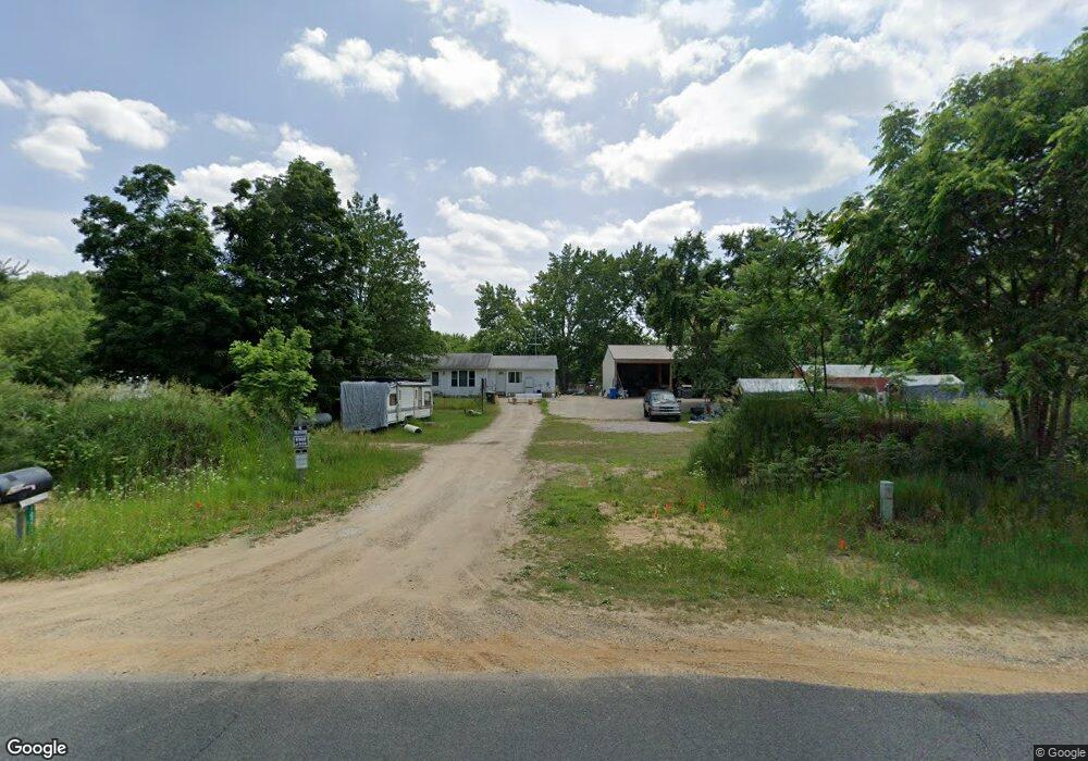
10523 Ab Ave Otsego, MI 49078
Estimated Value: $290,000 - $357,000
3
Beds
1
Bath
1,040
Sq Ft
$312/Sq Ft
Est. Value
About This Home
This home is located at 10523 Ab Ave, Otsego, MI 49078 and is currently estimated at $324,647, approximately $312 per square foot. 10523 Ab Ave is a home located in Kalamazoo County with nearby schools including Otsego High School.
Ownership History
Date
Name
Owned For
Owner Type
Purchase Details
Closed on
Apr 15, 2003
Sold by
Warden Donald R and Warden Donald
Bought by
Rogers Christopher S and Rogers Rachel E
Current Estimated Value
Home Financials for this Owner
Home Financials are based on the most recent Mortgage that was taken out on this home.
Original Mortgage
$114,098
Outstanding Balance
$49,735
Interest Rate
5.95%
Mortgage Type
FHA
Estimated Equity
$274,912
Create a Home Valuation Report for This Property
The Home Valuation Report is an in-depth analysis detailing your home's value as well as a comparison with similar homes in the area
Purchase History
We collect this data history from publicly available records. To have your information removed, we recommend requesting removal directly through your county’s website.
| Date | Buyer | Sale Price | Title Company |
|---|---|---|---|
| Rogers Christopher S | $115,000 | Metro |
Source: Public Records
Mortgage History
We collect this data history from publicly available records. To have your information removed, we recommend requesting removal directly through your county’s website.
| Date | Status | Borrower | Loan Amount |
|---|---|---|---|
| Open | Rogers Christopher S | $114,098 |
Source: Public Records
Tax History
| Year | Tax Paid | Tax Assessment Tax Assessment Total Assessment is a certain percentage of the fair market value that is determined by local assessors to be the total taxable value of land and additions on the property. | Land | Improvement |
|---|---|---|---|---|
| 2025 | $1,113 | $143,600 | $0 | $0 |
| 2024 | $768 | $122,800 | $0 | $0 |
| 2023 | $768 | $101,600 | $0 | $0 |
| 2021 | $768 | $88,200 | $0 | $0 |
| 2020 | $1,402 | $86,900 | $0 | $0 |
| 2019 | $2,077 | $85,100 | $0 | $0 |
| 2018 | $0 | $84,300 | $0 | $0 |
| 2017 | $0 | $84,300 | $0 | $0 |
| 2016 | -- | $75,200 | $0 | $0 |
| 2015 | -- | $68,500 | $0 | $0 |
| 2014 | -- | $64,300 | $0 | $0 |
Source: Public Records
Map
Nearby Homes
- 2115 Westfield Ln
- 232 23rd St
- 1937 Cygnet Dr
- 1942 Cygnet Dr
- 1946 Cygnet Dr
- 26808 2nd Ave
- 220 26th St
- 24099 County Road 388
- 9299 26th St
- 27161 2nd Ave
- 25113 12th Ave
- 1674 Aspen Trail
- 1667 Aspen Trail
- 1660 Aspen Trail
- 1648 Aspen Trail
- 1644 Aspen Trail
- 0 Briarwood St Unit 25002251
- 588 River Rd
- 7558 W D Ave
- 1607 Elm St
Your Personal Tour Guide
Ask me questions while you tour the home.