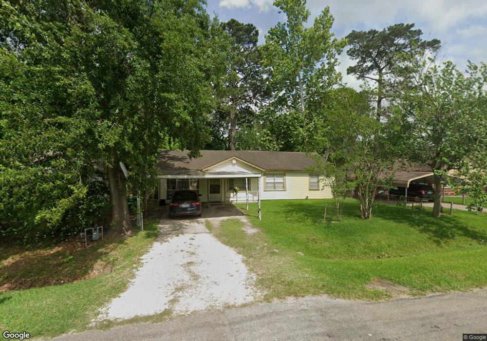
10534 Bucknell Rd Houston, TX 77016
East Little York NeighborhoodEstimated Value: $159,000 - $224,000
3
Beds
1
Bath
1,400
Sq Ft
$126/Sq Ft
Est. Value
About This Home
This home is located at 10534 Bucknell Rd, Houston, TX 77016 and is currently estimated at $176,082, approximately $125 per square foot. 10534 Bucknell Rd is a home located in Harris County with nearby schools including Shadydale Elementary School, Forest Brook Middle, and North Forest High School.
Ownership History
Date
Name
Owned For
Owner Type
Purchase Details
Closed on
Jul 31, 2020
Sold by
Rowe Laura N and Rowe John Henry
Bought by
Cole Joann
Current Estimated Value
Home Financials for this Owner
Home Financials are based on the most recent Mortgage that was taken out on this home.
Original Mortgage
$110,000
Outstanding Balance
$97,578
Interest Rate
3%
Mortgage Type
Seller Take Back
Estimated Equity
$78,504
Create a Home Valuation Report for This Property
The Home Valuation Report is an in-depth analysis detailing your home's value as well as a comparison with similar homes in the area
Home Values in the Area
Average Home Value in this Area
Purchase History
We collect this data history from publicly available records. To have your information removed, we recommend requesting removal directly through your county’s website.
| Date | Buyer | Sale Price | Title Company |
|---|---|---|---|
| Cole Joann | -- | None Available |
Source: Public Records
Mortgage History
We collect this data history from publicly available records. To have your information removed, we recommend requesting removal directly through your county’s website.
| Date | Status | Borrower | Loan Amount |
|---|---|---|---|
| Open | Cole Joann | $110,000 |
Source: Public Records
Tax History
| Year | Tax Paid | Tax Assessment Tax Assessment Total Assessment is a certain percentage of the fair market value that is determined by local assessors to be the total taxable value of land and additions on the property. | Land | Improvement |
|---|---|---|---|---|
| 2025 | $1,321 | $139,559 | $60,384 | $79,175 |
| 2024 | $1,321 | $140,843 | $60,384 | $80,459 |
| 2023 | $1,321 | $133,860 | $37,296 | $96,564 |
| 2022 | $2,376 | $109,234 | $24,864 | $84,370 |
| 2021 | $2,286 | $98,097 | $24,864 | $73,233 |
| 2020 | $2,140 | $88,371 | $19,181 | $69,190 |
| 2019 | $2,201 | $86,966 | $12,787 | $74,179 |
| 2018 | $1,512 | $59,771 | $12,787 | $46,984 |
| 2017 | $1,511 | $59,771 | $12,787 | $46,984 |
| 2016 | $1,447 | $57,222 | $12,787 | $44,435 |
| 2015 | $1,193 | $46,396 | $12,787 | $33,609 |
| 2014 | $1,193 | $46,396 | $12,787 | $33,609 |
Source: Public Records
Map
Nearby Homes
- 10449 Castleton St
- 5905 Langley Rd
- 10526 Envoy St
- 10434 Envoy St
- 10441 Wicklowe St
- 10426 Onslow St
- 10419 Hollyglen Dr
- 10402 Wicklowe St
- 10546 Royal Oaks Dr
- 10502 Royal Oaks Dr
- 10430 Caxton St
- 5611 Yorkwood St
- 10341 Caxton St
- 5123 Francine Ln
- 10229 Royal Oaks Dr
- 10517 Kelburn Dr
- 7202 Orlando St
- 5130 Farb Dr
- 10134 Bretton Dr
- 6001 Bretshire Dr
- 10538 Bucknell Rd
- 10530 Bucknell Rd
- 10533 Castleton St
- 10542 Bucknell Rd
- 10526 Bucknell Rd
- 10537 Castleton St
- 10529 Castleton St
- 10541 Castleton St
- 10525 Castleton St
- 10533 Bucknell Rd
- 10546 Bucknell Rd
- 10522 Bucknell Rd
- 10537 Bucknell Rd
- 10529 Bucknell Rd
- 10541 Bucknell Rd
- 10545 Castleton St
- 10521 Castleton St
- 10525 Bucknell Rd
- 10550 Bucknell Rd
- 10518 Bucknell Rd
Your Personal Tour Guide
Ask me questions while you tour the home.