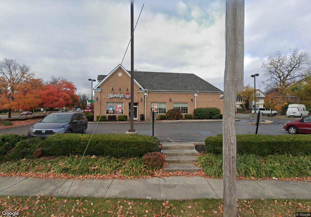
1054 E Broad St Columbus, OH 43205
King-Lincoln Bronzeville Neighborhood
Studio
--
Bath
2,450
Sq Ft
23,958
Sq Ft Lot
About This Home
This home is located at 1054 E Broad St, Columbus, OH 43205. 1054 E Broad St is a home located in Franklin County with nearby schools including Trevitt Elementary School, Champion Middle School, and East High School.
Ownership History
Date
Name
Owned For
Owner Type
Purchase Details
Closed on
Aug 17, 2005
Sold by
Union Oil Co Of California
Bought by
Tyvan Llc
Home Financials for this Owner
Home Financials are based on the most recent Mortgage that was taken out on this home.
Original Mortgage
$275,000
Outstanding Balance
$143,291
Interest Rate
5.93%
Mortgage Type
Commercial
Purchase Details
Closed on
Jul 28, 2000
Sold by
Capital Dental David Estreicher Dds Inc
Bought by
Union Oil Company Of California and Unocal Corp
Purchase Details
Closed on
Mar 27, 1984
Bought by
Capital Dental-David
Create a Home Valuation Report for This Property
The Home Valuation Report is an in-depth analysis detailing your home's value as well as a comparison with similar homes in the area
Home Values in the Area
Average Home Value in this Area
Purchase History
| Date | Buyer | Sale Price | Title Company |
|---|---|---|---|
| Tyvan Llc | $200,000 | Title Co Lt | |
| Union Oil Company Of California | $200,000 | Central City Title Agency | |
| Capital Dental-David | $125,000 | -- |
Source: Public Records
Mortgage History
| Date | Status | Borrower | Loan Amount |
|---|---|---|---|
| Open | Tyvan Llc | $275,000 |
Source: Public Records
Tax History
| Year | Tax Paid | Tax Assessment Tax Assessment Total Assessment is a certain percentage of the fair market value that is determined by local assessors to be the total taxable value of land and additions on the property. | Land | Improvement |
|---|---|---|---|---|
| 2025 | $32,184 | $433,620 | $146,370 | $287,250 |
| 2024 | $32,184 | $433,620 | $146,370 | $287,250 |
| 2023 | $31,675 | $433,620 | $146,370 | $287,250 |
| 2022 | $25,033 | $333,800 | $100,630 | $233,170 |
| 2021 | $25,140 | $333,800 | $100,630 | $233,170 |
| 2020 | $24,968 | $333,800 | $100,630 | $233,170 |
| 2019 | $24,992 | $303,450 | $91,490 | $211,960 |
| 2018 | $23,675 | $303,450 | $91,490 | $211,960 |
| 2017 | $24,964 | $303,450 | $91,490 | $211,960 |
| 2016 | $24,166 | $277,690 | $91,490 | $186,200 |
| 2015 | $22,437 | $277,690 | $91,490 | $186,200 |
| 2014 | $22,427 | $277,690 | $91,490 | $186,200 |
| 2013 | $11,112 | $277,690 | $91,490 | $186,200 |
Source: Public Records
Map
Nearby Homes
- 203-5 N 21st St Unit 203
- 920-922 E Gay St
- 64 Miami Ave
- 1070 Fair Ave
- 112 N 21st St
- 40 Miami Ave Unit 238
- 1012 E Long St Unit B
- 100 N 22nd St
- 1070 E Long St
- 141 N 21st St
- 295 N 21st St
- 875 E Broad St
- 172 N 21st St
- 150 N 22nd St
- 155 N 22nd St
- 70 S Champion Ave
- 163-165 N 18th St
- 184 N 21st St
- 155 S Ohio Ave
- 155 N 17th St
- 1050 E Broad St
- 25 N 21st St Unit 27
- 25-27 N 21st St
- 25-27 N 21st St Unit 2
- 28 N 20th St
- 223 N 21st St
- 29 N 21st St
- 34 N 20th St
- 31 N 21st St Unit 29
- 27 N 20th St
- 38 N 20th St Unit 40
- 37 N 21st St
- 44 N 20th St
- 41 N 21st St
- 1031 E Broad St
- 48 N 20th St
- 1021 E Broad St Unit 1
- 1021 E Broad St
- 47 N 21st St
- 33 N 20th St
Your Personal Tour Guide
Ask me questions while you tour the home.