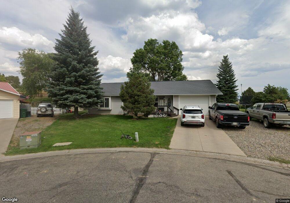
1055 Lance Cir Meeker, CO 81641
Estimated Value: $358,820 - $408,000
3
Beds
1
Bath
1,640
Sq Ft
$230/Sq Ft
Est. Value
About This Home
This home is located at 1055 Lance Cir, Meeker, CO 81641 and is currently estimated at $376,705, approximately $229 per square foot. 1055 Lance Cir is a home located in Rio Blanco County with nearby schools including Meeker Elementary School, Barone Middle School, and Meeker High School.
Ownership History
Date
Name
Owned For
Owner Type
Purchase Details
Closed on
Oct 3, 2025
Sold by
Waldref Jarett and Waldref Bailey
Bought by
Ilgen Tyler
Current Estimated Value
Home Financials for this Owner
Home Financials are based on the most recent Mortgage that was taken out on this home.
Original Mortgage
$349,537
Outstanding Balance
$349,537
Interest Rate
6.58%
Mortgage Type
FHA
Estimated Equity
$27,168
Purchase Details
Closed on
May 7, 2018
Sold by
Strate John C and Strate Keistie M
Bought by
Waldref Jerett and Waldref Bailey
Home Financials for this Owner
Home Financials are based on the most recent Mortgage that was taken out on this home.
Original Mortgage
$195,750
Interest Rate
4.45%
Mortgage Type
New Conventional
Purchase Details
Closed on
Jun 10, 2008
Sold by
Strate George J and Strate Christopher J
Bought by
Strate John C and Strate Kirstie M
Home Financials for this Owner
Home Financials are based on the most recent Mortgage that was taken out on this home.
Original Mortgage
$170,000
Interest Rate
6.07%
Mortgage Type
New Conventional
Purchase Details
Closed on
May 1, 2006
Sold by
Strate George J and Halandras Christine S
Bought by
Strate George J and Strate Christopher J
Create a Home Valuation Report for This Property
The Home Valuation Report is an in-depth analysis detailing your home's value as well as a comparison with similar homes in the area
Home Values in the Area
Average Home Value in this Area
Purchase History
| Date | Buyer | Sale Price | Title Company |
|---|---|---|---|
| Ilgen Tyler | $380,000 | Rio Blanco County Abstract Com | |
| Waldref Jerett | $217,500 | Commonwealth Land Title | |
| Strate John C | $250,000 | None Available | |
| Strate George J | -- | None Available |
Source: Public Records
Mortgage History
| Date | Status | Borrower | Loan Amount |
|---|---|---|---|
| Open | Ilgen Tyler | $349,537 | |
| Previous Owner | Waldref Jerett | $195,750 | |
| Previous Owner | Strate John C | $170,000 |
Source: Public Records
Tax History
| Year | Tax Paid | Tax Assessment Tax Assessment Total Assessment is a certain percentage of the fair market value that is determined by local assessors to be the total taxable value of land and additions on the property. | Land | Improvement |
|---|---|---|---|---|
| 2024 | $1,432 | $18,240 | $1,390 | $16,850 |
| 2023 | $1,120 | $18,240 | $1,390 | $16,850 |
| 2022 | $983 | $16,070 | $1,740 | $14,330 |
| 2021 | $1,037 | $16,070 | $1,740 | $14,330 |
| 2020 | $875 | $14,770 | $1,430 | $13,340 |
| 2019 | $874 | $14,770 | $1,430 | $13,340 |
| 2018 | $801 | $13,550 | $2,770 | $10,780 |
| 2017 | $734 | $13,550 | $2,770 | $10,780 |
| 2016 | $753 | $14,320 | $2,670 | $11,650 |
| 2015 | $690 | $14,320 | $0 | $0 |
| 2014 | $690 | $14,130 | $0 | $0 |
| 2013 | -- | $14,130 | $0 | $0 |
| 2012 | -- | $19,760 | $3,840 | $15,920 |
Source: Public Records
Map
Nearby Homes
- 1129 Gail Cir
- 1394 Ridge Rd
- 782 10th St
- 825 Cleveland St
- 925 Cleveland St
- 866 Cleveland St
- 740 11th St
- 134 4th St
- 545 Water St
- 744 E Market St
- 45008 13th St
- 1287 Market St
- 1509 County Road 4
- 1030 White River Rd
- 1200 Flag Creek Dr
- 73527 Colorado 64
- Tbd County Road 15
- 6398 County Road 4
- 2302 County Road 33
- 1678 County Road 39
Your Personal Tour Guide
Ask me questions while you tour the home.