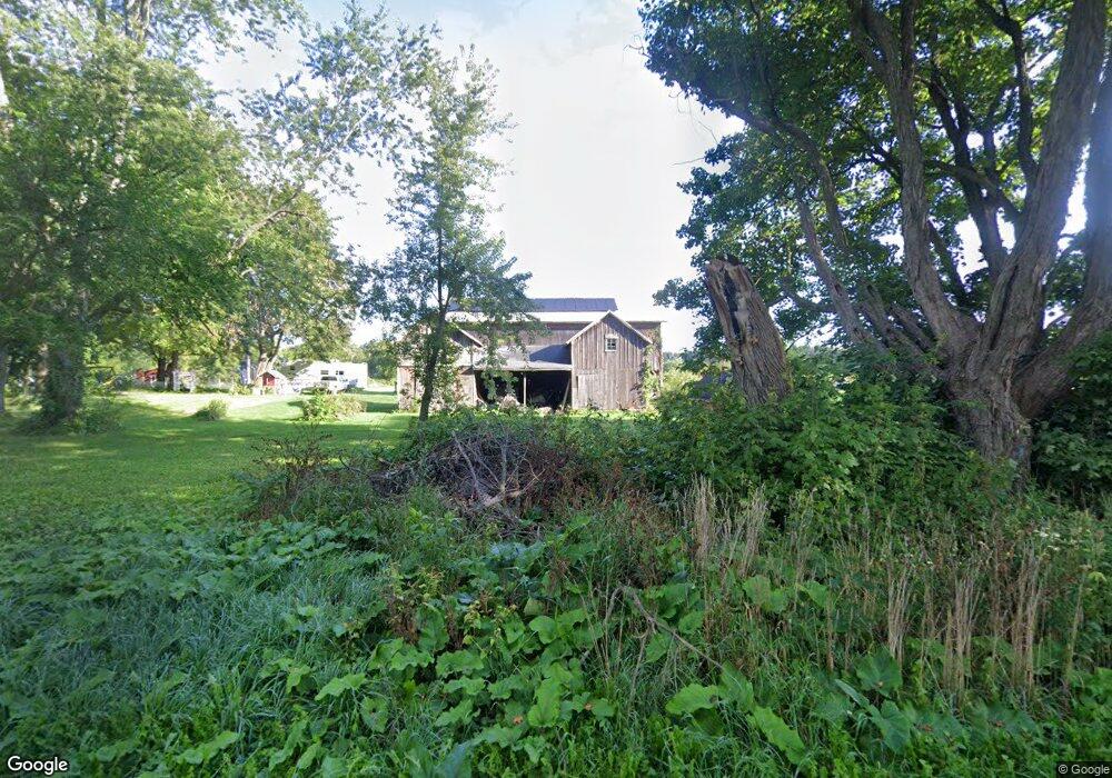
10550 Fowler Rd Hanover, MI 49241
Estimated Value: $403,000
3
Beds
1
Bath
1,686
Sq Ft
$239/Sq Ft
Est. Value
About This Home
This home is located at 10550 Fowler Rd, Hanover, MI 49241 and is currently estimated at $403,000, approximately $239 per square foot. 10550 Fowler Rd is a home located in Jackson County with nearby schools including Concord Elementary School, Concord Middle School, and Concord High School.
Ownership History
Date
Name
Owned For
Owner Type
Purchase Details
Closed on
Jun 2, 2016
Sold by
Norris Annette M
Bought by
Norris Annette M and Norris Amanda I
Current Estimated Value
Purchase Details
Closed on
Feb 27, 2015
Sold by
Norris Thomas A
Bought by
Norris Annette M
Purchase Details
Closed on
Aug 2, 1994
Sold by
Householder Gifford
Bought by
Norris Thomas A and Norris Annette M
Create a Home Valuation Report for This Property
The Home Valuation Report is an in-depth analysis detailing your home's value as well as a comparison with similar homes in the area
Purchase History
| Date | Buyer | Sale Price | Title Company |
|---|---|---|---|
| Norris Annette M | -- | Attorney | |
| Norris Annette M | -- | None Available | |
| Norris Thomas A | $80,000 | -- |
Source: Public Records
Tax History
| Year | Tax Paid | Tax Assessment Tax Assessment Total Assessment is a certain percentage of the fair market value that is determined by local assessors to be the total taxable value of land and additions on the property. | Land | Improvement |
|---|---|---|---|---|
| 2025 | $2,762 | $234,400 | $0 | $0 |
| 2024 | $9 | $240,700 | $0 | $0 |
| 2023 | $867 | $234,800 | $0 | $0 |
| 2022 | $2,507 | $221,200 | $0 | $0 |
| 2021 | $2,470 | $221,000 | $0 | $0 |
| 2020 | $2,441 | $208,500 | $0 | $0 |
| 2019 | $2,377 | $192,200 | $0 | $0 |
| 2018 | $2,325 | $194,500 | $0 | $0 |
| 2017 | $2,051 | $195,000 | $0 | $0 |
| 2016 | $736 | $178,650 | $117,250 | $61,400 |
| 2015 | $1,965 | $163,500 | $163,500 | $0 |
| 2014 | $1,965 | $155,350 | $155,350 | $0 |
| 2013 | -- | $155,350 | $155,350 | $0 |
Source: Public Records
Map
Nearby Homes
- 9980 Pulaski Rd
- 7210 Pulaski Rd Rd
- 642 Swains Lake Dr
- 9317 Rountree Rd
- 10980 Pulaski Rd
- 201 Lake Hills Dr
- 340 Wood Hills Dr
- 270 Wood Hills Dr
- 0 Aldrich St Unit 26012143
- 11969 Strait Rd
- 731 Sears Rd
- 313 Michigan St
- 315 S Jackson St
- 520 S Jackson St
- 7870 Sears Rd
- 125 Coxon St
- 6820 Bowerman Rd
- 0 River Bend Drive Lot #11
- 0 River Bend Drive Lot #4
- 0 River Bend Drive Lot #3
- 10310 Fowler Rd
- 10409 Fowler Rd
- 10561 Fowler Rd
- 10725 Fowler Rd
- 10725 Fowler Rd
- 10505 Hubbard Rd
- 10700 Fowler Rd
- 10601 Hubbard Rd
- 10545 Hubbard Rd
- 10401 Hubbard Rd
- 10375 Hubbard Rd
- 10831 Fowler Rd
- 10831 Fowler Rd
- 8870 Grover Rd
- 10391 Hubbard Rd
- 10621 Hubbard Rd
- 10550 Hubbard Rd
- 10452 Hubbard Rd
- 10901 Fowler Rd
- 10365 Hubbard Rd
Your Personal Tour Guide
Ask me questions while you tour the home.