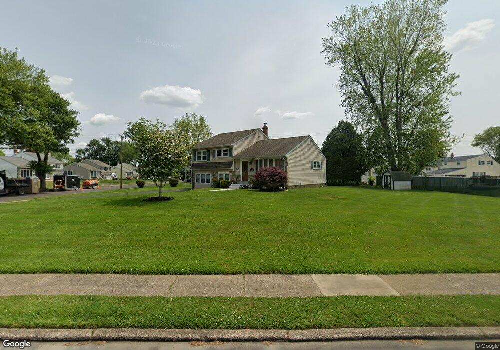
1056 Windsor Rd Warminster, PA 18974
Estimated Value: $364,000 - $459,000
About This Home
This home is located at 1056 Windsor Rd, Warminster, PA 18974 and is currently estimated at $416,758, approximately $381 per square foot. 1056 Windsor Rd is a home located in Bucks County with nearby schools including Willow Dale Elementary School, Log College Middle School, and William Tennent High School.
Ownership History
We collect this data history from publicly available records. To have your information removed, we recommend requesting removal directly through your county’s website.
Purchase Details
Home Financials for this Owner
Home Financials are based on the most recent Mortgage that was taken out on this home.Purchase Details
Home Values in the Area
Average Home Value in this Area
Purchase History
We collect this data history from publicly available records. To have your information removed, we recommend requesting removal directly through your county’s website.
| Date | Buyer | Sale Price | Title Company |
|---|---|---|---|
| $154,000 | -- | ||
| -- | -- |
Mortgage History
We collect this data history from publicly available records. To have your information removed, we recommend requesting removal directly through your county’s website.
| Date | Status | Borrower | Loan Amount |
|---|---|---|---|
| Closed | $115,500 |
Tax History
We collect this data history from publicly available records. To have your information removed, we recommend requesting removal directly through your county’s website.
| Year | Tax Paid | Tax Assessment Tax Assessment Total Assessment is a certain percentage of the fair market value that is determined by local assessors to be the total taxable value of land and additions on the property. | Land | Improvement |
|---|---|---|---|---|
| 2026 | $4,794 | $22,000 | $5,160 | $16,840 |
| 2025 | $4,643 | $22,000 | $5,160 | $16,840 |
| 2024 | $4,643 | $22,000 | $5,160 | $16,840 |
| 2023 | $4,501 | $22,000 | $5,160 | $16,840 |
| 2022 | $4,404 | $22,000 | $5,160 | $16,840 |
| 2021 | $4,302 | $22,000 | $5,160 | $16,840 |
| 2020 | $4,241 | $22,000 | $5,160 | $16,840 |
| 2019 | $4,016 | $22,000 | $5,160 | $16,840 |
| 2018 | $3,920 | $22,000 | $5,160 | $16,840 |
| 2017 | $3,805 | $22,000 | $5,160 | $16,840 |
| 2016 | $3,805 | $22,000 | $5,160 | $16,840 |
| 2015 | $3,759 | $22,000 | $5,160 | $16,840 |
| 2014 | $3,759 | $22,000 | $5,160 | $16,840 |
Map
- 1171 W County Line Rd
- 282 Henry Ave
- 903 Pine Rd
- 726 Claire Rd
- 106 Holly Dr
- 203 W County Line Rd
- 203 Fairway Dr Unit 113
- 601 America Dr
- 603 America Dr
- 602 America Dr Unit FARADAY MODEL HOME
- 604 America #Northbrook Model Dr
- 605 America Dr
- 607 America Dr
- 168 Fairway Dr Unit 178
- 619 America Dr
- 635 W County Line Rd
- 616 Liberty Ridge Rd
- 36 Patriot Ln
- 619 Liberty Ridge Rd
- 623 Liberty Ridge Rd
- 1046 Windsor Rd
- 1059 Coronet Rd
- 1040 Windsor Rd
- 1047 Coronet Rd
- 1055 Windsor Rd
- 108 Parry Rd
- 116 Parry Rd
- 1047 Windsor Rd
- 100 Parry Rd
- 1039 Coronet Rd
- 124 Parry Rd
- 1032 Windsor Rd
- 1041 Windsor Rd
- 92 Parry Rd
- 1060 Coronet Rd
- 1031 Coronet Rd
- 132 Parry Rd
- 1033 Windsor Rd
- 1024 Windsor Rd
- 105 Norristown Rd
Ask me questions while you tour the home.