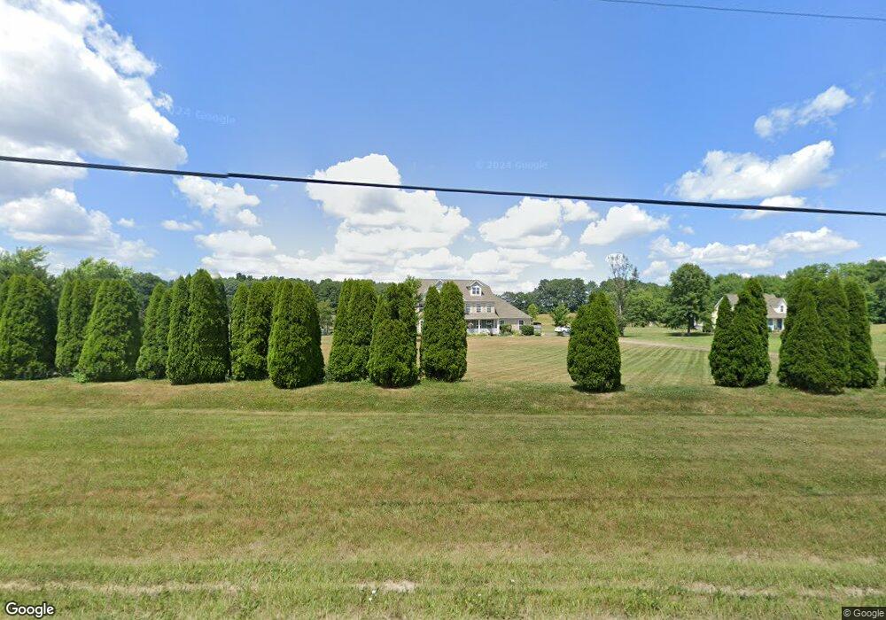
10563 Beech St NE Alliance, OH 44601
Estimated Value: $449,000 - $591,463
4
Beds
3
Baths
3,618
Sq Ft
$142/Sq Ft
Est. Value
About This Home
This home is located at 10563 Beech St NE, Alliance, OH 44601 and is currently estimated at $514,821, approximately $142 per square foot. 10563 Beech St NE is a home located in Stark County with nearby schools including Louisville High School.
Ownership History
Date
Name
Owned For
Owner Type
Purchase Details
Closed on
Mar 13, 2012
Sold by
Monnot Dennis S and Monnot Jennifer
Bought by
Monnot Dennis S and Monnot Jennifer
Current Estimated Value
Purchase Details
Closed on
Apr 12, 2000
Sold by
Pergola John A and Pergola Karen S
Bought by
Monnot Dennis S and Monnot Jennifer
Home Financials for this Owner
Home Financials are based on the most recent Mortgage that was taken out on this home.
Original Mortgage
$38,260
Interest Rate
8.26%
Create a Home Valuation Report for This Property
The Home Valuation Report is an in-depth analysis detailing your home's value as well as a comparison with similar homes in the area
Purchase History
| Date | Buyer | Sale Price | Title Company |
|---|---|---|---|
| Monnot Dennis S | -- | None Available | |
| Monnot Dennis S | $50,800 | Midland Commerce Group |
Source: Public Records
Mortgage History
| Date | Status | Borrower | Loan Amount |
|---|---|---|---|
| Closed | Monnot Dennis S | $38,260 |
Source: Public Records
Tax History
| Year | Tax Paid | Tax Assessment Tax Assessment Total Assessment is a certain percentage of the fair market value that is determined by local assessors to be the total taxable value of land and additions on the property. | Land | Improvement |
|---|---|---|---|---|
| 2025 | -- | $187,740 | $40,390 | $147,350 |
| 2024 | -- | $197,120 | $43,540 | $153,580 |
| 2023 | $7,465 | $152,920 | $29,650 | $123,270 |
| 2022 | $4,475 | $152,920 | $29,650 | $123,270 |
| 2021 | $4,976 | $152,920 | $29,650 | $123,270 |
| 2020 | $5,997 | $129,260 | $25,450 | $103,810 |
| 2019 | $1,214 | $129,270 | $25,450 | $103,820 |
Source: Public Records
Map
Nearby Homes
- 10805 Easton St NE
- 12020 Easton St NE
- 10131 Columbus Rd NE
- 2535 Queensbury Rd
- 2495 Moredale Cir
- 0 Valewood Cir Unit 5006281
- 2851 Patriots Path Unit 3D
- 10636 Clapsaddle Ave NE
- 8345 Schubert Ave NE
- 8539 Schubert Ave NE
- 5495 Meese Rd NE
- 7705 Ravenna Ave
- 7451 Hahn St NE
- 0 Westwood St
- 10645 Wilma Ave NE
- 10770 Dot Ave NE
- 6480 Frederick Ave NE
- 0 Frederick Ave NE
- 2420 Beechwood Ave
- 0 Winchester St
- 10595 Kilmarnock Rd NE
- 10481 Beech St NE
- 10443 Beech St NE
- 10416 Beech St NE
- 10349 Beech St NE
- 10650 Beech St NE
- 10661 Kilmarnock Rd NE
- 10685 Beech St NE
- 10269 Beech St NE
- 0 Beech St NE Unit 3643090
- 0 Beech St NE Unit 3683138
- 0 Beech St NE Unit 5028504
- 0 Beech St NE Unit 4479401
- 0 Beech St NE Unit 4479397
- 0 Beech St NE Unit 4420978
- 0 Beech St NE Unit 4278498
- 0 Beech St NE Unit 4066523
- 0 Beech St NE Unit 4052481
- 10388 Beech St NE
- 10733 Beech St NE
Your Personal Tour Guide
Ask me questions while you tour the home.