10590 Conover Rd Versailles, OH 45380
Estimated Value: $341,000 - $414,122
3
Beds
2
Baths
1,520
Sq Ft
$246/Sq Ft
Est. Value
About This Home
This home is located at 10590 Conover Rd, Versailles, OH 45380 and is currently estimated at $374,531, approximately $246 per square foot. 10590 Conover Rd is a home located in Darke County with nearby schools including Versailles Elementary School, Versailles Middle School, and Versailles High School.
Ownership History
Date
Name
Owned For
Owner Type
Purchase Details
Closed on
Sep 15, 2020
Sold by
Rhoades Beverly and Youngker James R
Bought by
Grimme Heidi M
Current Estimated Value
Home Financials for this Owner
Home Financials are based on the most recent Mortgage that was taken out on this home.
Original Mortgage
$280,000
Outstanding Balance
$249,066
Interest Rate
3.62%
Mortgage Type
New Conventional
Estimated Equity
$125,465
Purchase Details
Closed on
Nov 6, 2017
Sold by
Youngker Lois M
Bought by
James R Youngker And Lois M Younger Trus
Purchase Details
Closed on
Aug 21, 2008
Sold by
Youngker James R
Bought by
Youngker James R and Youngker Lois M
Create a Home Valuation Report for This Property
The Home Valuation Report is an in-depth analysis detailing your home's value as well as a comparison with similar homes in the area
Purchase History
| Date | Buyer | Sale Price | Title Company |
|---|---|---|---|
| Grimme Heidi M | $330,000 | None Available | |
| James R Youngker And Lois M Younger Trus | -- | None Available | |
| Youngker James R | -- | None Available |
Source: Public Records
Mortgage History
| Date | Status | Borrower | Loan Amount |
|---|---|---|---|
| Open | Grimme Heidi M | $280,000 |
Source: Public Records
Tax History
| Year | Tax Paid | Tax Assessment Tax Assessment Total Assessment is a certain percentage of the fair market value that is determined by local assessors to be the total taxable value of land and additions on the property. | Land | Improvement |
|---|---|---|---|---|
| 2025 | $2,424 | $110,050 | $60,970 | $49,080 |
| 2024 | $2,424 | $110,050 | $60,970 | $49,080 |
| 2023 | $2,426 | $110,050 | $60,970 | $49,080 |
| 2022 | $2,049 | $105,550 | $55,490 | $50,060 |
| 2021 | $2,148 | $105,550 | $55,490 | $50,060 |
| 2020 | $1,710 | $91,330 | $55,490 | $35,840 |
| 2019 | $1,672 | $84,170 | $55,490 | $28,680 |
| 2018 | $1,361 | $84,170 | $55,490 | $28,680 |
| 2017 | $1,317 | $84,130 | $55,450 | $28,680 |
| 2016 | $1,316 | $61,640 | $36,980 | $24,660 |
| 2015 | $1,316 | $61,640 | $36,980 | $24,660 |
| 2014 | $1,384 | $61,640 | $36,980 | $24,660 |
| 2013 | $1,024 | $60,190 | $36,700 | $23,490 |
Source: Public Records
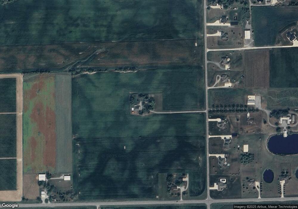
Map
Nearby Homes
- 0 St Rt 121 Unit 10041143
- 45 Short St
- 546 Reed Ave
- 547 Reed Ave
- 331 W Wood St
- 447 Reed Ave
- 435 Reed Ave
- 140 N Center St
- 00 State Route 121
- 161 E Main St
- 9072 Stillwater Dr
- 7627 Horatio-Harris Creek Rd
- 5331 Tamarack Trail
- 311 E Canal St
- 5177 Warvel Rd
- 231 N Main St
- 420 W Canal St
- 414 W High St
- 106 Wise St
- 112 Esther St
- 10609 Conover Rd
- 10633 Conover Rd
- 10575 Conover Rd
- 10645 Conover Rd
- 10537 Conover Rd
- 10559 Conover Rd
- 7970 State Route 47
- 10585 Conover Rd
- 10657 Conover Rd
- 10511 Conover Rd
- 10669 Conover Rd
- 10687 Conover Rd
- 8050 State Route 47
- 7854 State Route 47
- 10587 Conover Rd
- 10587 Conover Rd
- 10587 Conover Rd
- 10587 Conover Rd
- 10703 Conover Rd
- 8080 State Route 47
Your Personal Tour Guide
Ask me questions while you tour the home.