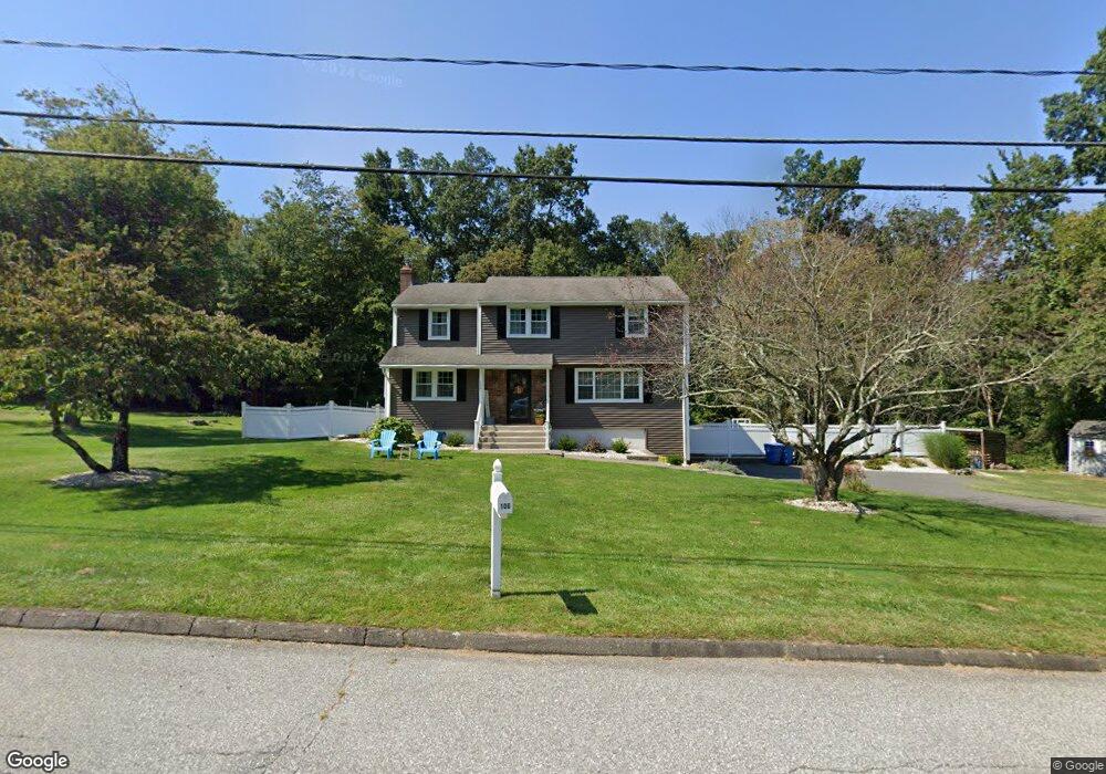
106 Apple Rd Tolland, CT 06084
Estimated Value: $419,000 - $493,000
4
Beds
3
Baths
1,936
Sq Ft
$239/Sq Ft
Est. Value
About This Home
This home is located at 106 Apple Rd, Tolland, CT 06084 and is currently estimated at $463,089, approximately $239 per square foot. 106 Apple Rd is a home located in Tolland County with nearby schools including Tolland High School.
Ownership History
Date
Name
Owned For
Owner Type
Purchase Details
Closed on
Jul 2, 2007
Sold by
Simmons Bradley and Simmons Kathryn
Bought by
Bowes Charles and Bowes Denise
Current Estimated Value
Home Financials for this Owner
Home Financials are based on the most recent Mortgage that was taken out on this home.
Original Mortgage
$252,000
Interest Rate
6.24%
Mortgage Type
Purchase Money Mortgage
Purchase Details
Closed on
Nov 10, 2003
Sold by
Mcallister Bruce and Mcallister Susan
Bought by
Simmons Bradley and Simmons Kathryn
Create a Home Valuation Report for This Property
The Home Valuation Report is an in-depth analysis detailing your home's value as well as a comparison with similar homes in the area
Home Values in the Area
Average Home Value in this Area
Purchase History
| Date | Buyer | Sale Price | Title Company |
|---|---|---|---|
| Bowes Charles | $315,000 | -- | |
| Bowes Charles | $315,000 | -- | |
| Simmons Bradley | $248,500 | -- | |
| Simmons Bradley | $248,500 | -- |
Source: Public Records
Mortgage History
| Date | Status | Borrower | Loan Amount |
|---|---|---|---|
| Open | Simmons Bradley | $270,000 | |
| Closed | Simmons Bradley | $252,000 |
Source: Public Records
Tax History
| Year | Tax Paid | Tax Assessment Tax Assessment Total Assessment is a certain percentage of the fair market value that is determined by local assessors to be the total taxable value of land and additions on the property. | Land | Improvement |
|---|---|---|---|---|
| 2025 | $7,039 | $258,900 | $62,700 | $196,200 |
| 2024 | $6,534 | $173,000 | $59,700 | $113,300 |
| 2023 | $6,458 | $173,000 | $59,700 | $113,300 |
| 2022 | $6,328 | $173,000 | $59,700 | $113,300 |
| 2021 | $6,420 | $173,000 | $59,700 | $113,300 |
| 2020 | $6,237 | $173,000 | $59,700 | $113,300 |
| 2019 | $6,377 | $176,900 | $61,600 | $115,300 |
| 2018 | $6,192 | $176,900 | $61,600 | $115,300 |
| 2017 | $6,048 | $176,900 | $61,600 | $115,300 |
| 2016 | $6,048 | $176,900 | $61,600 | $115,300 |
Source: Public Records
Map
Nearby Homes
- 67 Pine Hill Rd
- 39 Noah Ln
- 39 Josephine Way
- 151 Pine Hill Rd
- 21 Josephine Way
- 38 Josephine Way
- 32 Josephine Way
- 26 Josephine Way
- 361 Dunn Rd
- 0 Mile Hill Rd
- 64 Summerwood Ridge
- 93 Dockerel Rd
- 64 Tolland Farms Rd
- 16 Higgins Way
- 73 Belvedere (Osprey Ii) Dr
- 69 Belvedere Dr Unit 69
- 65 Belvedere Dr Unit 65
- 68 Belvedere Dr
- 68 Belvedere (Broadmoor) Dr
- 64 Belvedere Dr
Your Personal Tour Guide
Ask me questions while you tour the home.