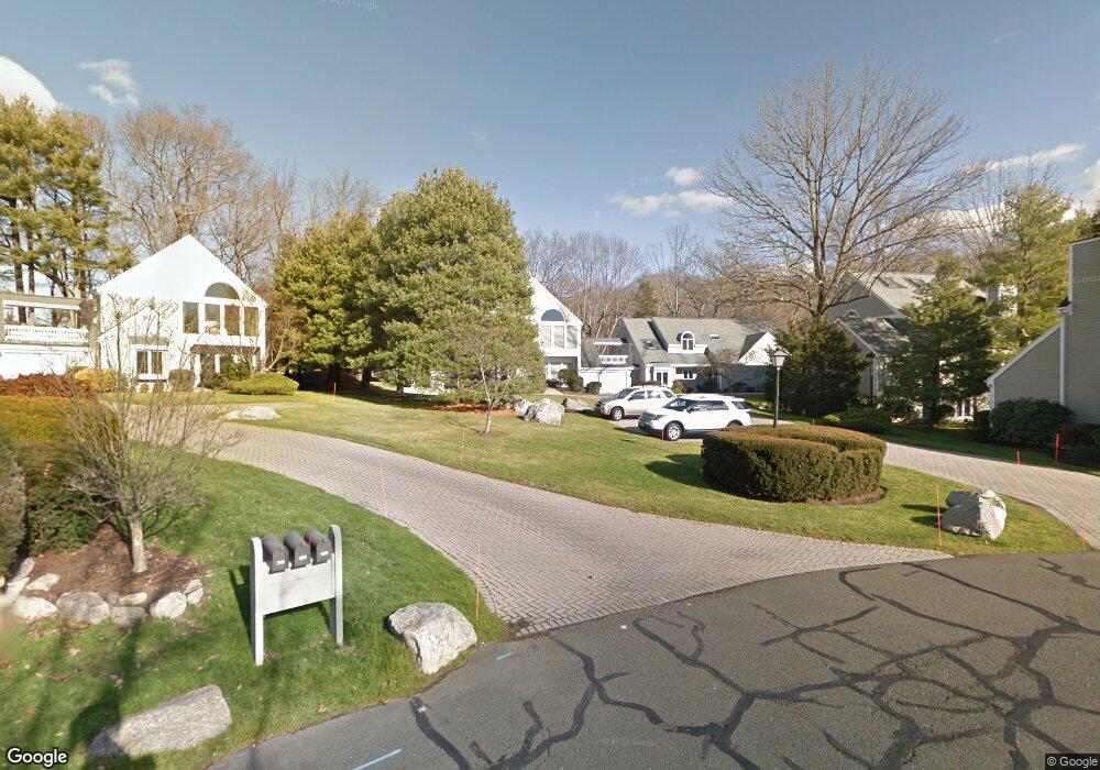
106 Barnes Rd Stamford, CT 06902
Turn of the River-Newfield NeighborhoodEstimated Value: $1,102,000 - $1,524,000
2
Beds
3
Baths
2,606
Sq Ft
$507/Sq Ft
Est. Value
About This Home
This home is located at 106 Barnes Rd, Stamford, CT 06902 and is currently estimated at $1,321,857, approximately $507 per square foot. 106 Barnes Rd is a home located in Fairfield County with nearby schools including Davenport Ridge Elementary School, Rippowam Middle School, and Stamford High School.
Ownership History
Date
Name
Owned For
Owner Type
Purchase Details
Closed on
Mar 1, 2002
Sold by
Leopold Abraham Inc
Bought by
Kellman Gary L and Kellman Susan
Current Estimated Value
Home Financials for this Owner
Home Financials are based on the most recent Mortgage that was taken out on this home.
Original Mortgage
$385,000
Interest Rate
6.85%
Purchase Details
Closed on
Jun 4, 1997
Sold by
Boe Deon W
Bought by
Abraham Leopold and Abraham Katherine N
Create a Home Valuation Report for This Property
The Home Valuation Report is an in-depth analysis detailing your home's value as well as a comparison with similar homes in the area
Home Values in the Area
Average Home Value in this Area
Purchase History
| Date | Buyer | Sale Price | Title Company |
|---|---|---|---|
| Kellman Gary L | $785,000 | -- | |
| Abraham Leopold | $515,000 | -- |
Source: Public Records
Mortgage History
| Date | Status | Borrower | Loan Amount |
|---|---|---|---|
| Open | Abraham Leopold | $341,356 | |
| Closed | Abraham Leopold | $387,000 | |
| Closed | Abraham Leopold | $385,000 |
Source: Public Records
Tax History
| Year | Tax Paid | Tax Assessment Tax Assessment Total Assessment is a certain percentage of the fair market value that is determined by local assessors to be the total taxable value of land and additions on the property. | Land | Improvement |
|---|---|---|---|---|
| 2025 | $12,983 | $548,740 | $0 | $548,740 |
| 2024 | $12,698 | $548,740 | $0 | $548,740 |
| 2023 | $13,642 | $548,740 | $0 | $548,740 |
| 2022 | $13,091 | $489,580 | $0 | $489,580 |
| 2021 | $12,949 | $489,580 | $0 | $489,580 |
| 2020 | $12,616 | $489,580 | $0 | $489,580 |
| 2019 | $12,616 | $489,580 | $0 | $489,580 |
| 2018 | $12,151 | $489,580 | $0 | $489,580 |
| 2017 | $11,707 | $450,260 | $0 | $450,260 |
| 2016 | $11,378 | $450,260 | $0 | $450,260 |
| 2015 | $11,081 | $450,260 | $0 | $450,260 |
| 2014 | $10,712 | $450,260 | $0 | $450,260 |
Source: Public Records
Map
Nearby Homes
- 53 Waterview Way
- 53 Waterview Way Unit 53
- 136 Shadow Ridge Rd
- 35 Archer Ln
- 47 Wood Ridge Dr
- 37 Elaine Dr
- 130 Wood Ridge Dr
- 57 Jay Rd
- 31 Rosano Rd
- 677 W Hill Rd
- 281 Roxbury Rd
- 26 Three Lakes Dr
- 38 Woods End Rd
- 55 Merriman Rd
- 244 Westwood Rd
- 38 Doral Farm Rd
- 14 Barmore Dr
- 48 Briarwood Ln
- 64 Alpine St
- 72 Barclay Dr
- 108 Barnes Rd
- 108 Barnes Rd Unit 108
- 98 Barnes Rd
- 98 Barnes Rd Unit 98
- 110 Barnes Rd
- 96 Barnes Rd
- 94 Barnes Rd
- 94 Barnes Rd Unit 94
- 114 Barnes Rd
- 97 Barnes Rd
- 119 Barnes Rd
- 101 Barnes Rd
- 107 Barnes Rd
- 107 Barnes Rd Unit 107
- 99 Barnes Rd
- 116 Barnes Rd
- 116 Barnes Rd Unit 116
- 116 Barnes Rd Unit 23
- 117 Barnes Rd
Your Personal Tour Guide
Ask me questions while you tour the home.