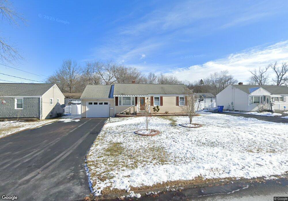
106 Brookside Cir Wethersfield, CT 06109
Estimated Value: $279,000 - $315,000
3
Beds
2
Baths
888
Sq Ft
$338/Sq Ft
Est. Value
About This Home
This home is located at 106 Brookside Cir, Wethersfield, CT 06109 and is currently estimated at $300,201, approximately $338 per square foot. 106 Brookside Cir is a home located in Hartford County with nearby schools including Emerson-Williams School, Silas Deane Middle School, and Wethersfield High School.
Ownership History
Date
Name
Owned For
Owner Type
Purchase Details
Closed on
Nov 24, 2003
Sold by
Kleczkowski Karen A and Kleczkowski William S
Bought by
Raeli Sebastian
Current Estimated Value
Home Financials for this Owner
Home Financials are based on the most recent Mortgage that was taken out on this home.
Original Mortgage
$145,000
Interest Rate
5.98%
Create a Home Valuation Report for This Property
The Home Valuation Report is an in-depth analysis detailing your home's value as well as a comparison with similar homes in the area
Home Values in the Area
Average Home Value in this Area
Purchase History
| Date | Buyer | Sale Price | Title Company |
|---|---|---|---|
| Raeli Sebastian | $161,000 | -- |
Source: Public Records
Mortgage History
| Date | Status | Borrower | Loan Amount |
|---|---|---|---|
| Open | Raeli Sebastian | $160,000 | |
| Closed | Raeli Sebastian | $165,000 | |
| Closed | Raeli Sebastian | $145,000 |
Source: Public Records
Tax History
| Year | Tax Paid | Tax Assessment Tax Assessment Total Assessment is a certain percentage of the fair market value that is determined by local assessors to be the total taxable value of land and additions on the property. | Land | Improvement |
|---|---|---|---|---|
| 2025 | $6,310 | $153,070 | $63,170 | $89,900 |
| 2024 | $4,780 | $110,590 | $57,520 | $53,070 |
| 2023 | $4,620 | $110,590 | $57,520 | $53,070 |
| 2022 | $4,543 | $110,590 | $57,520 | $53,070 |
| 2021 | $4,498 | $110,590 | $57,520 | $53,070 |
| 2020 | $4,500 | $110,590 | $57,520 | $53,070 |
| 2019 | $4,505 | $110,590 | $57,520 | $53,070 |
| 2018 | $4,461 | $109,400 | $54,200 | $55,200 |
| 2017 | $4,351 | $109,400 | $54,200 | $55,200 |
| 2016 | $4,216 | $109,400 | $54,200 | $55,200 |
| 2015 | $4,178 | $109,400 | $54,200 | $55,200 |
| 2014 | $4,019 | $109,400 | $54,200 | $55,200 |
Source: Public Records
Map
Nearby Homes
- 1 Brussels Ave
- 19 Albert Ave
- 1 Bristol St
- 219-221 Jordan Ln
- 192 Wolcott Hill Rd
- 55 Rutledge Rd
- 295 Ridge Rd Unit 8
- 64 Cromwell St
- 144 Brown St
- 107 Harmund Place
- 23 Hillcrest Ave
- 28 Bolton St
- 166 George St
- 18 Avalon Place
- 51 Hanmer St
- 317-319 Garden St
- 1 Fernwood St
- 208 Mountain St
- 2020 Broad St Unit 6
- 63 Wells Farm Dr
- 112 Brookside Cir
- 102 Brookside Cir
- 55 Brookside Cir
- 49 Brookside Cir
- 59 Brookside Cir
- 116 Brookside Cir
- 107 Brookside Cir
- 101 Brookside Cir
- 94 Brookside Cir
- 43 Brookside Cir
- 111 Brookside Cir
- 71 Brookside Cir
- 97 Brookside Cir
- 115 Brookside Cir
- 122 Brookside Cir
- 39 Brookside Cir
- 56 Brookside Cir
- 91 Brookside Cir
- 50 Brookside Cir
- 62 Brookside Cir
Your Personal Tour Guide
Ask me questions while you tour the home.