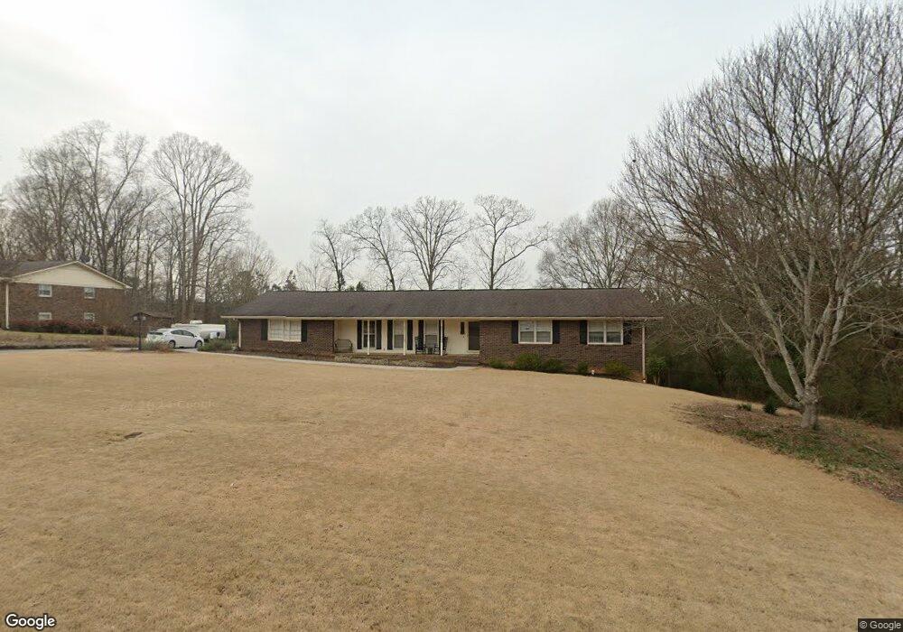
106 Devonwood Dr Calhoun, GA 30701
Estimated Value: $353,000 - $431,000
About This Home
This home is located at 106 Devonwood Dr, Calhoun, GA 30701 and is currently estimated at $383,691, approximately $121 per square foot. 106 Devonwood Dr is a home located in Gordon County with nearby schools including Calhoun Elementary School, Calhoun Middle School, and Calhoun High School.
Ownership History
We collect this data history from publicly available records. To have your information removed, we recommend requesting removal directly through your county’s website.
Purchase Details
Home Financials for this Owner
Home Financials are based on the most recent Mortgage that was taken out on this home.Purchase Details
Purchase Details
Purchase History
We collect this data history from publicly available records. To have your information removed, we recommend requesting removal directly through your county’s website.
| Date | Buyer | Sale Price | Title Company |
|---|---|---|---|
| $219,000 | -- | ||
| $55,000 | -- | ||
| $110,000 | -- |
Mortgage History
We collect this data history from publicly available records. To have your information removed, we recommend requesting removal directly through your county’s website.
| Date | Status | Borrower | Loan Amount |
|---|---|---|---|
| Open | $219,000 |
Tax History
We collect this data history from publicly available records. To have your information removed, we recommend requesting removal directly through your county’s website.
| Year | Tax Paid | Tax Assessment Tax Assessment Total Assessment is a certain percentage of the fair market value that is determined by local assessors to be the total taxable value of land and additions on the property. | Land | Improvement |
|---|---|---|---|---|
| 2025 | $3,542 | $144,480 | $5,600 | $138,880 |
| 2023 | $3,262 | $116,028 | $5,600 | $110,428 |
| 2022 | $1,028 | $107,988 | $5,600 | $102,388 |
| 2021 | $2,608 | $88,028 | $5,600 | $82,428 |
| 2020 | $1,893 | $63,708 | $5,600 | $58,108 |
| 2019 | $1,890 | $63,708 | $5,600 | $58,108 |
| 2018 | $548 | $58,928 | $5,600 | $53,328 |
| 2017 | $527 | $55,608 | $5,600 | $50,008 |
| 2016 | $528 | $55,608 | $5,600 | $50,008 |
| 2015 | $524 | $54,488 | $5,600 | $48,888 |
| 2014 | $501 | $52,851 | $5,600 | $47,251 |
Map
- 115 Windsor Dr
- 114 Lindsey Ct NE
- 102 Lindsey Ct NE
- 202 Briarwood Dr
- 121 Stone Haven Dr
- 301 Briarwood Dr
- 140 Cambridge Ct
- 117 Stone Haven Dr
- 111 Mount Vernon Dr
- 301 Windy Hill Dr
- 134 Newtown Rd NE Unit 6
- 153 York Place
- 119 Hunt Dr
- 105 Waterside Trail
- 154 Millers Ln
- 101 Waterside Trail
- 147 Millers Ln
- 123 Waterside Ridge
- 113 Mill Stone Dr
- 326 Curtis Pkwy NE
- 108 Devonwood Dr
- 103 Devonwood Dr
- 105 Devonwood Dr
- 705 Red Bud Rd NE
- 705 Red Bud Rd NE Unit A
- 110 Devonwood Dr
- 107 Devonwood Dr
- 610 Red Bud Rd NE
- 106 Windsor Dr
- 102 Windsor Dr
- 108 Windsor Dr
- 122 Barrett Ln
- 122 Barrett Ln
- 655 Red Bud Rd NE
- 112 Devonwood Dr
- 670 Red Bud Rd NE
- 153 Barrett Ln
- 110 Windsor Dr
- 109 Devonwood Dr
- 120 Barrett Rd
Ask me questions while you tour the home.