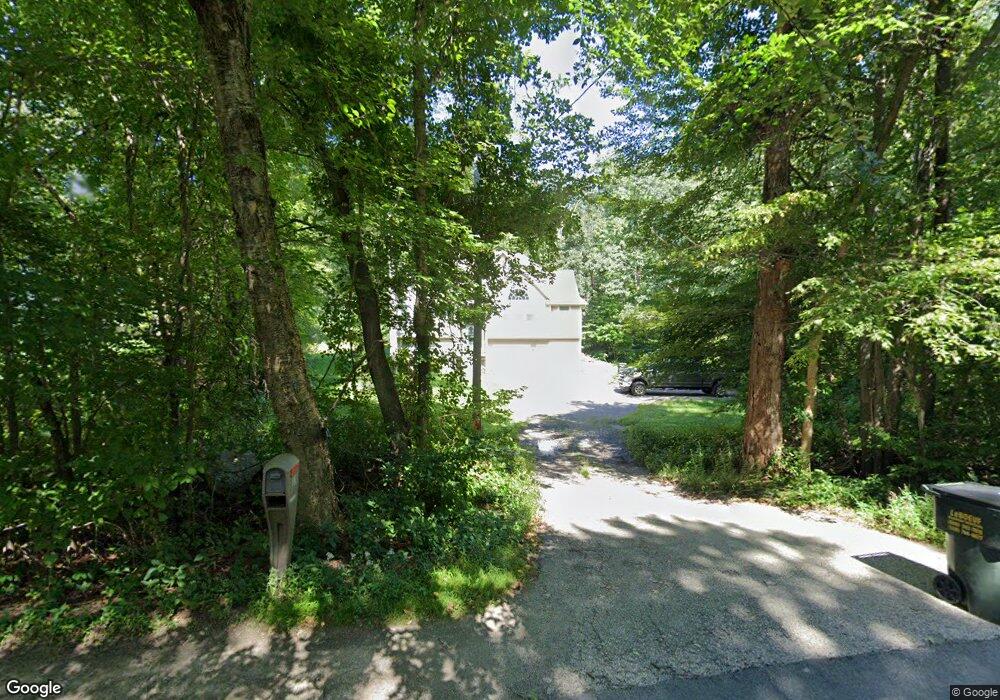
106 Dudley Rd Oxford, MA 01540
Oxford AreaEstimated Value: $528,000 - $746,000
About This Home
This home is located at 106 Dudley Rd, Oxford, MA 01540 and is currently estimated at $633,066, approximately $449 per square foot. 106 Dudley Rd is a home located in Worcester County with nearby schools including Alfred M Chaffee, Oxford High School, and Clara Barton Elementary School.
Ownership History
We collect this data history from publicly available records. To have your information removed, we recommend requesting removal directly through your county’s website.
Purchase Details
Purchase Details
Home Financials for this Owner
Home Financials are based on the most recent Mortgage that was taken out on this home.Home Values in the Area
Average Home Value in this Area
Purchase History
We collect this data history from publicly available records. To have your information removed, we recommend requesting removal directly through your county’s website.
| Date | Buyer | Sale Price | Title Company |
|---|---|---|---|
| $289,900 | -- | ||
| $36,000 | -- |
Mortgage History
We collect this data history from publicly available records. To have your information removed, we recommend requesting removal directly through your county’s website.
| Date | Status | Borrower | Loan Amount |
|---|---|---|---|
| Closed | $229,000 | ||
| Previous Owner | $148,800 |
Tax History
We collect this data history from publicly available records. To have your information removed, we recommend requesting removal directly through your county’s website.
| Year | Tax Paid | Tax Assessment Tax Assessment Total Assessment is a certain percentage of the fair market value that is determined by local assessors to be the total taxable value of land and additions on the property. | Land | Improvement |
|---|---|---|---|---|
| 2025 | $63 | $497,000 | $111,400 | $385,600 |
| 2024 | $5,993 | $444,600 | $103,700 | $340,900 |
| 2023 | $5,696 | $417,600 | $92,600 | $325,000 |
| 2022 | $5,157 | $319,100 | $70,500 | $248,600 |
| 2021 | $5,019 | $303,600 | $66,800 | $236,800 |
| 2020 | $4,808 | $288,600 | $66,800 | $221,800 |
| 2019 | $4,806 | $282,200 | $66,100 | $216,100 |
| 2018 | $4,573 | $264,800 | $66,100 | $198,700 |
| 2017 | $4,578 | $271,700 | $66,100 | $205,600 |
| 2016 | $4,600 | $271,700 | $66,100 | $205,600 |
| 2015 | $4,290 | $271,700 | $66,100 | $205,600 |
| 2014 | $4,214 | $280,900 | $66,100 | $214,800 |
Map
- 136 Dudley Rd
- 77 Larned Rd
- 28 Sullivan Blvd Unit A
- 3 Henry Marsh Rd Unit B
- 2 Bounty Rd
- 1 Maid Marion St
- 196 Old Webster Rd
- 11 Friar Tuck Ln
- 9 Maid Marion St
- 7 Sneade Dr
- 10 Patton St
- 368 Dudley Oxford Rd
- 12 Mckinstry Dr
- 25 Old Dudley Rd
- 6 Carol Dr
- 6 Melissa Ln Unit 6
- 39 Whiting Rd
- 117 Charlton St
- 8 Meadowbrook Ct Unit 8
- 1 Dolge Ct
- 108 Dudley Rd
- 104 Dudley Rd
- Lot-2 Dudley Rd
- Lot-3 Dudley Rd
- Lot 102 Dudley Rd
- Lot 104 Dudley Rd
- 52 Dudley Rd
- 93 Dudley Rd
- 105 Dudley Rd
- 112 Dudley Rd
- 99 Dudley Rd
- 157 Old Webster Rd
- 141 Old Webster Rd
- 113 Dudley Rd
- 150 Old Webster Rd
- 94 Dudley Rd
- 87 Dudley Rd
- 123 Dudley Rd
- 114 Dudley Rd
- 139 Old Webster Rd
Ask me questions while you tour the home.