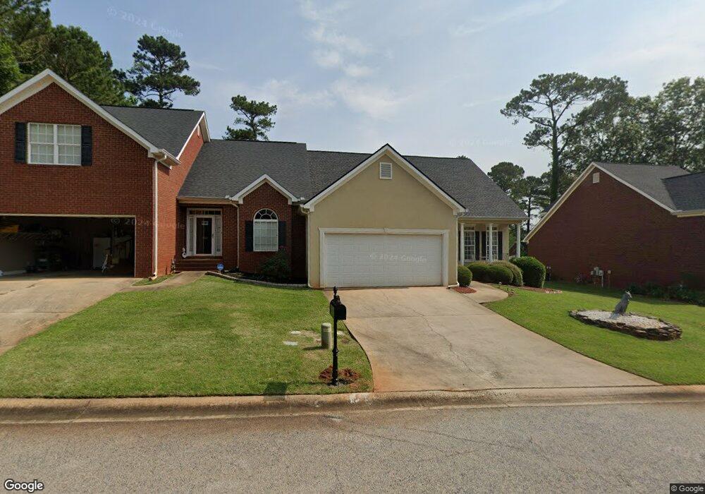
106 High Ridge Dr Macon, GA 31220
Barrington Hall NeighborhoodEstimated Value: $215,756 - $338,000
2
Beds
2
Baths
1,620
Sq Ft
$170/Sq Ft
Est. Value
About This Home
This home is located at 106 High Ridge Dr, Macon, GA 31220 and is currently estimated at $276,189, approximately $170 per square foot. 106 High Ridge Dr is a home located in Bibb County with nearby schools including Carter Elementary School, Howard Middle School, and Howard High School.
Ownership History
Date
Name
Owned For
Owner Type
Purchase Details
Closed on
Feb 14, 2011
Sold by
Adams Hugh D
Bought by
Renfroe Jimmy W
Current Estimated Value
Home Financials for this Owner
Home Financials are based on the most recent Mortgage that was taken out on this home.
Original Mortgage
$100,000
Outstanding Balance
$63,418
Interest Rate
3.37%
Mortgage Type
New Conventional
Estimated Equity
$212,771
Purchase Details
Closed on
Jun 27, 2003
Bought by
Adams Hugh D and Adams Beverly L
Create a Home Valuation Report for This Property
The Home Valuation Report is an in-depth analysis detailing your home's value as well as a comparison with similar homes in the area
Home Values in the Area
Average Home Value in this Area
Purchase History
| Date | Buyer | Sale Price | Title Company |
|---|---|---|---|
| Renfroe Jimmy W | $150,000 | None Available | |
| Adams Hugh D | $159,000 | -- |
Source: Public Records
Mortgage History
| Date | Status | Borrower | Loan Amount |
|---|---|---|---|
| Open | Renfroe Jimmy W | $100,000 |
Source: Public Records
Tax History
| Year | Tax Paid | Tax Assessment Tax Assessment Total Assessment is a certain percentage of the fair market value that is determined by local assessors to be the total taxable value of land and additions on the property. | Land | Improvement |
|---|---|---|---|---|
| 2025 | $1,745 | $78,024 | $14,000 | $64,024 |
| 2024 | $1,656 | $72,203 | $14,000 | $58,203 |
| 2023 | $1,199 | $72,203 | $14,000 | $58,203 |
| 2022 | $1,783 | $58,489 | $13,500 | $44,989 |
| 2021 | $1,957 | $58,489 | $13,500 | $44,989 |
| 2020 | $1,999 | $58,489 | $13,500 | $44,989 |
| 2019 | $2,016 | $58,489 | $13,500 | $44,989 |
| 2018 | $3,095 | $55,632 | $10,800 | $44,832 |
| 2017 | $1,822 | $55,632 | $10,800 | $44,832 |
| 2016 | $1,815 | $59,470 | $12,000 | $47,470 |
| 2015 | $2,566 | $59,470 | $12,000 | $47,470 |
| 2014 | $855 | $59,470 | $12,000 | $47,470 |
Source: Public Records
Map
Nearby Homes
- 122 High Ridge Dr
- 116 Hampton Way Unit LOT 5
- 120 Hampton Way Unit LOT 6
- 232 High Ridge Ct
- 128 Greenview Terrace
- 122 Greenview Terrace
- 164 Greenview Terrace
- 144 Cambridge Way
- 156 Cambridge Way
- 204 Princeton Ct
- 119 Stoney Creek Dr
- 202 Cambridge Way
- 409 Cambridge Ct
- 122 Stoney Creek Dr
- 208 Trellis Walk
- 228 Trellis Walk
- 204 Trellis Walk
- 1179 Barrington Place Way
- 110 High Ridge Dr
- 102 High Ridge Dr
- 114 High Ridge Dr
- 118 High Ridge Dr
- 109 High Ridge Dr
- 105 High Ridge Dr
- 111 High Ridge Dr
- 900 Barrington Hall Dr
- 167 Barrington Hall Dr
- 115 High Ridge Dr
- 101 High Ridge Dr
- 121 High Ridge Dr
- 108 Hampton Way
- 104 Hampton Way
- 126 High Ridge Dr
- 32 Hampton Way
- 100 Hampton Way
- 100 Hampton Way Unit 407
- 381 Barrington Hall Dr
- 125 High Ridge Dr
Your Personal Tour Guide
Ask me questions while you tour the home.